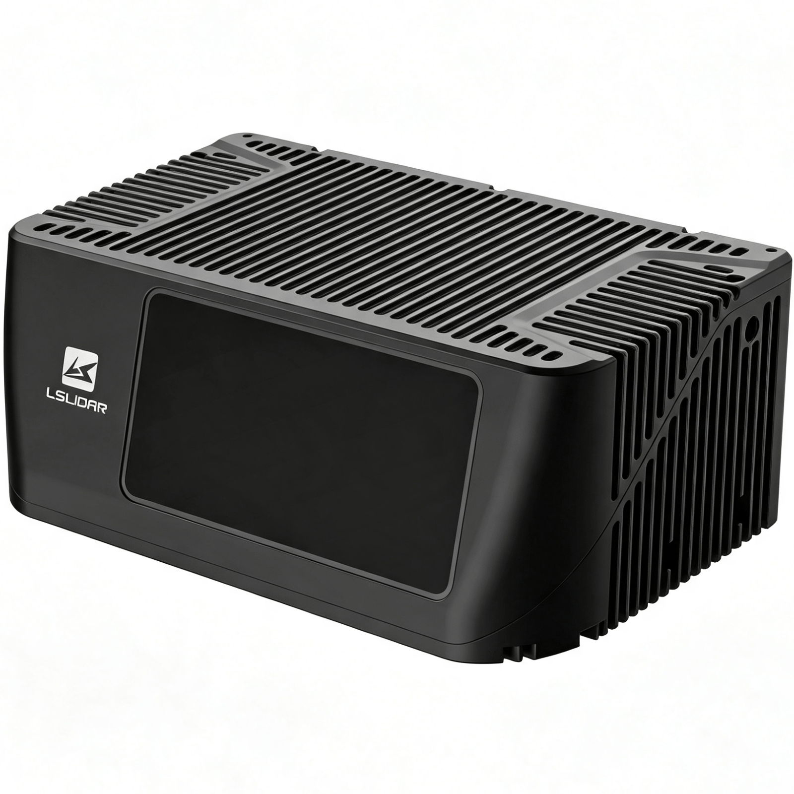
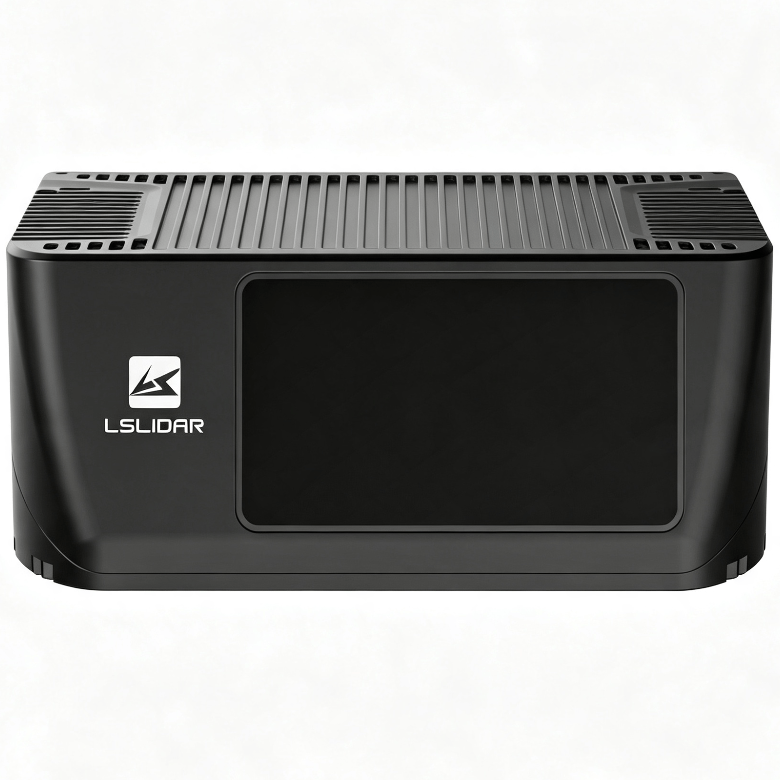
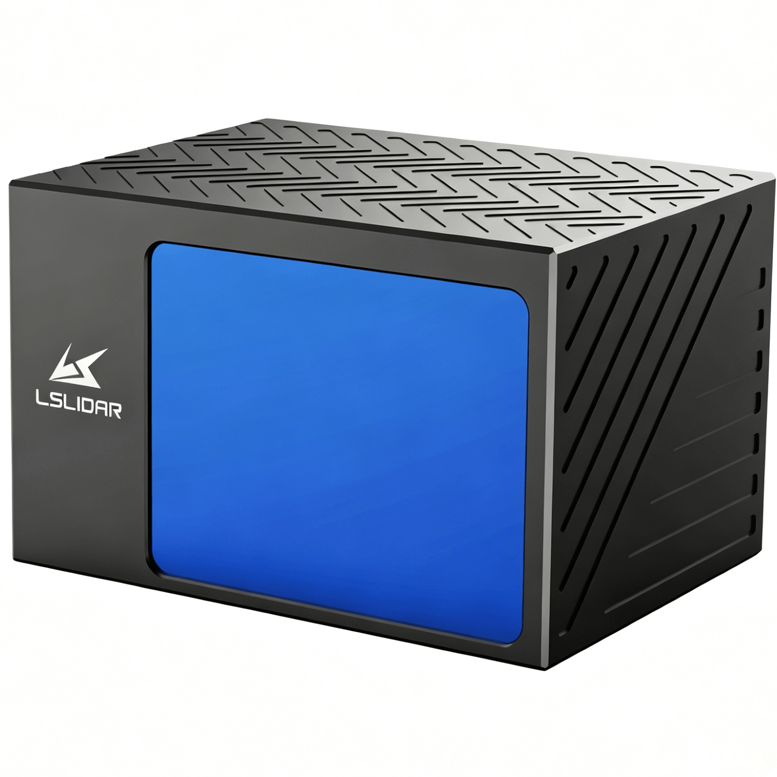
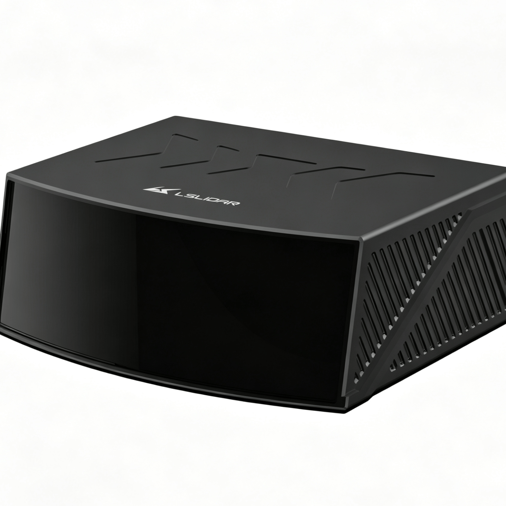
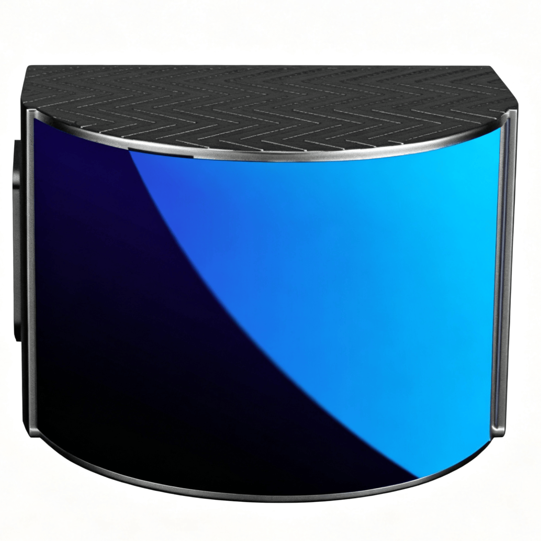
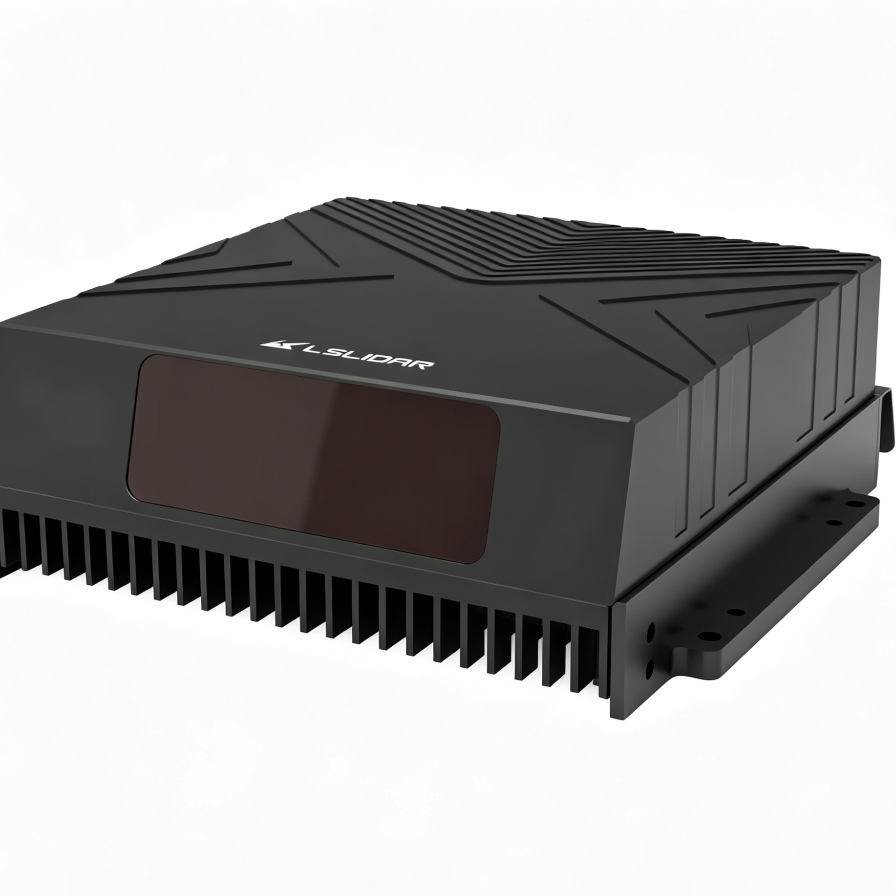
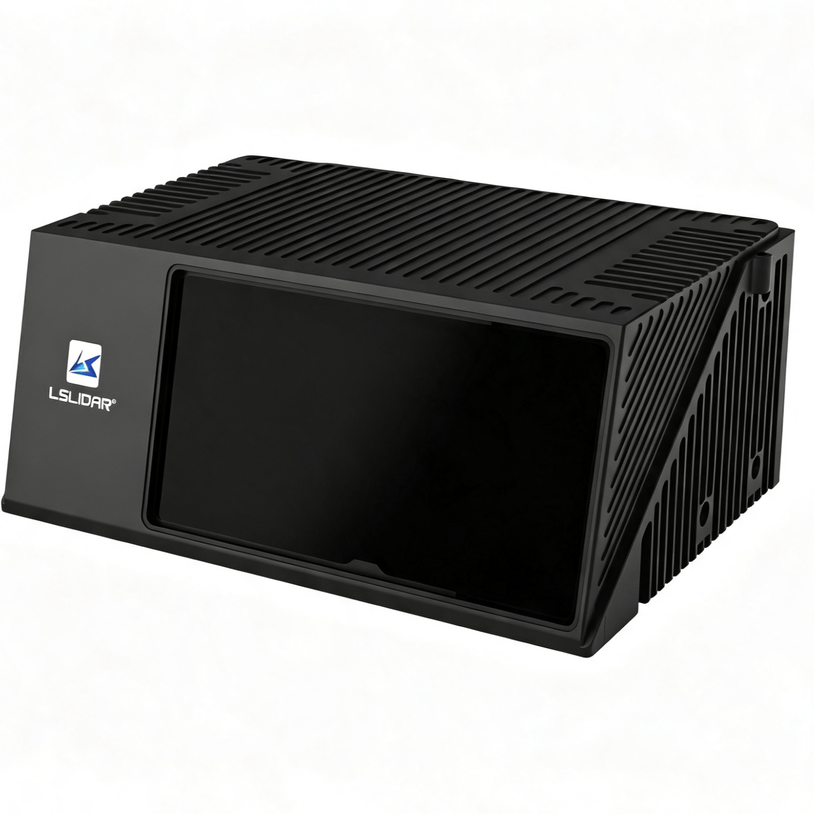
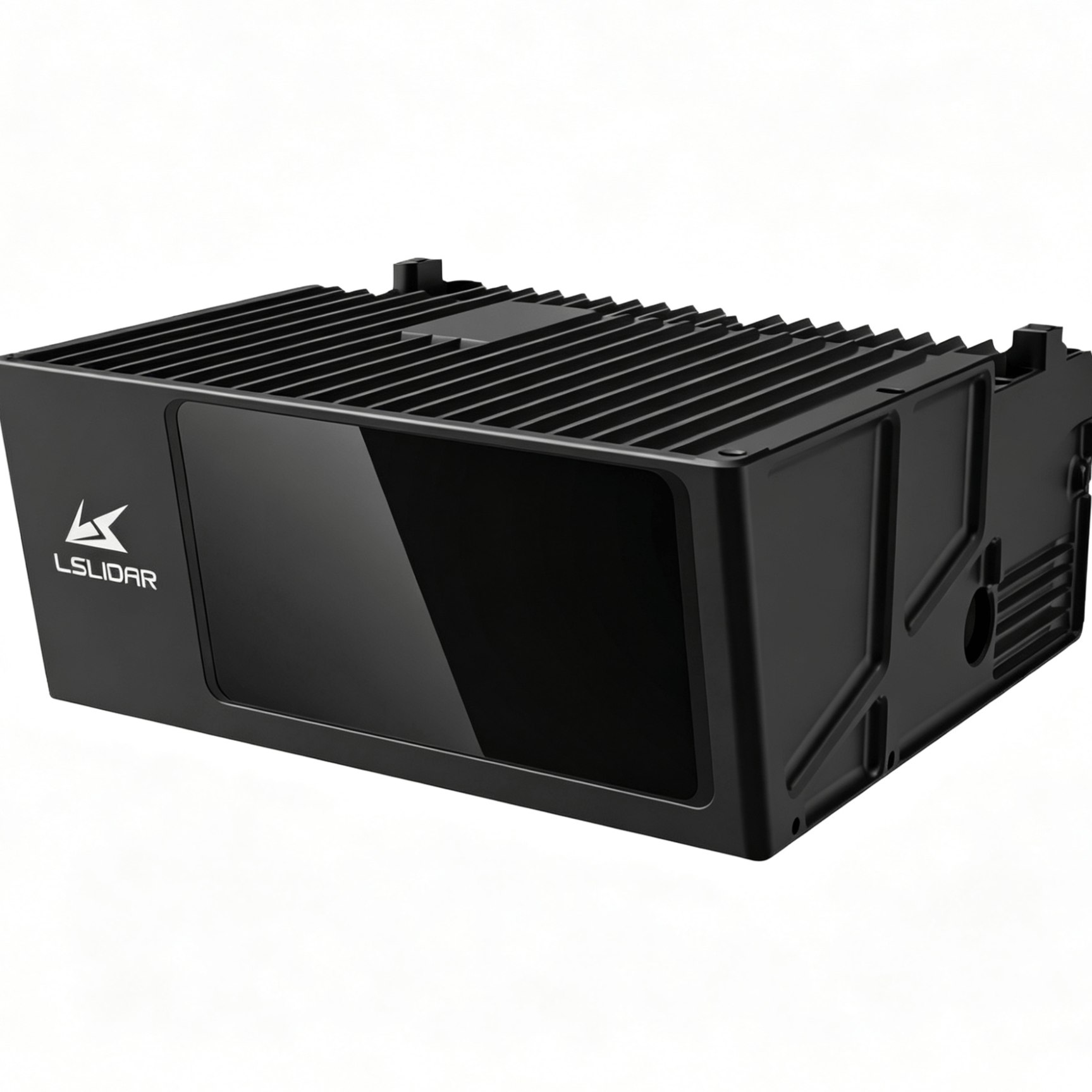
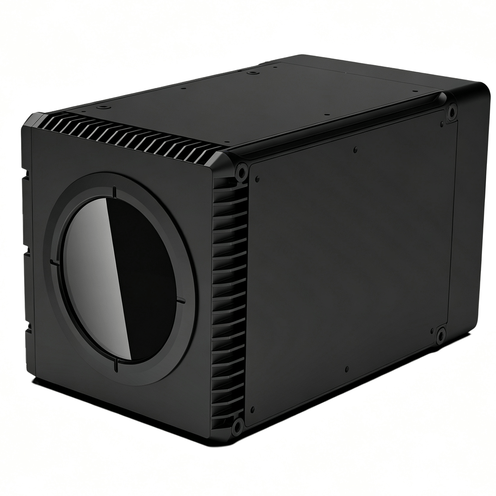
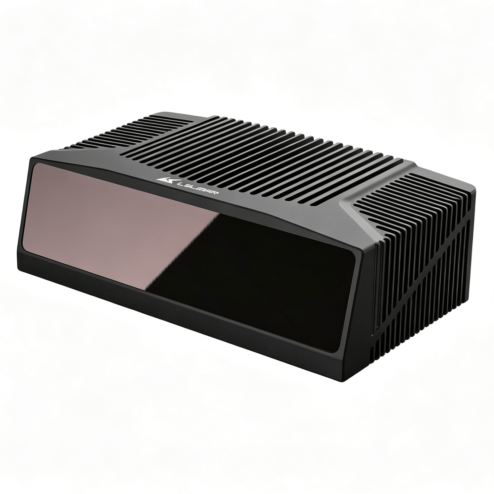
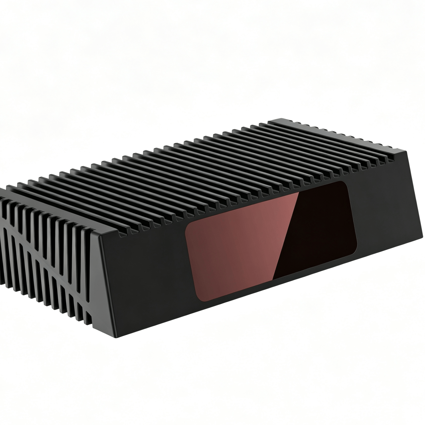
LS-S4 Ultra-Long-Range Fiber Optic LiDAR
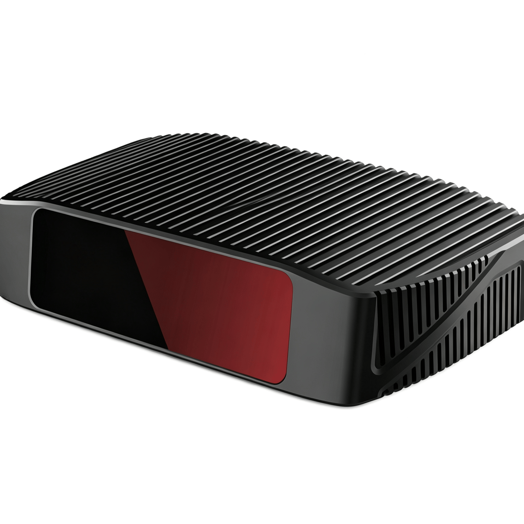
The LS-S4 is a fiber optic LiDAR based on the TOF principle, featuring a self-developed and self-manufactured specially designed 1550nm band fiber laser and high-power fiber optic components. A 100% domestically produced configuration is optional. The detection range reaches up to 1500m, with a maximum point cloud rate of 6 million points per second, a minimum horizontal resolution of 0.036°, and a minimum vertical resolution of 0.0487°, enabling ultra-long-range high-resolution measurement.
Application Scenarios:
Unmanned intelligent equipment: electric vertical take-off and landing aircraft (eVTOL), flying cars, unmanned helicopters, drones, unmanned ground vehicles, and unmanned vessels for intelligent driving and safety obstacle avoidance.
Application Fields:
Comprehensive coverage of low-altitude economy, general aviation, aerospace, surveying and mapping, smart transportation, smart cities, firefighting and emergency response, power inspection, rail transit, construction machinery, smart mining, tunnels, forest monitoring, ports and docks, bridge collision avoidance, and high-end security, forming an integrated air-space-ground-water intelligent management system.
| Parameter |
LS216S4-A |
LS300S4 |
LS360S4-A/B |
LS432S4-W |
LS500S4-A |
| Maximum Number of Lines |
216 lines |
300 lines |
360 lines |
432 lines |
500 lines |
| Ranging Principle |
Time of Flight |
Time of Flight |
Time of Flight |
Time of Flight |
Time of Flight |
| Laser Wavelength |
1550nm |
1550nm |
1550nm |
1550nm |
1550nm |
| Maximum Detection Range |
500 / 1000 / 1500m |
700 / 1200 / 1500m |
700 / 1200 / 1500m |
600 / 1000 / 1200m |
500 / 800 / 1000m |
| Point Cloud Rate |
6 / 3.33 / 1.662 million points/sec |
5.064 / 2.81 / 1.4 million points/sec |
6 / 3.33 / 1.662 million points/sec |
6 / 3.33 / 1.662 million points/sec |
6 / 3.33 / 1.662 million points/sec |
| Ranging Accuracy |
±5cm |
±5cm |
±5cm |
±5cm |
±5cm |
| Frame Rate |
20Hz |
20Hz |
10Hz |
10Hz |
10Hz |
| Blind Zone |
<3m |
<3m |
<3m |
<3m |
<3m |
| Horizontal Field of View |
60° |
60° |
<3m |
60° |
60° |
| Horizontal Angular Resolution |
0.0432° / 0.0777° / 0.155° |
0.036° / 0.065° / 0.13° |
0.036° / 0.065° / 0.13° |
0.0432° / 0.0777° / 0.155° |
0.05° / 0.09° / 0.181° |
| Vertical Field of View |
26.8° (-16.8°~10°) |
24.5° (-14.5°~10°) |
A: 28.5° (-18.5°~10°) / B: 27.5° (-17.5°~10°) |
39.5° (-19.5°~20°) |
29° (-19°~10°) |
| Vertical Angular Resolution |
0.1043° |
0.066° |
A: 0.066° / B: 0.04° (ROI±5.8°) / 0.1° (non-ROI) |
0.081° |
0.0487° |
| Number of Echoes |
Single echo / Dual echo |
Single echo / Dual echo |
Single echo / Dual echo |
Single echo / Dual echo |
Single echo / Dual echo |
| Communication Interface |
Gigabit Ethernet |
Gigabit Ethernet |
Gigabit Ethernet |
Gigabit Ethernet |
Gigabit Ethernet |
| GNSS Interface |
PTPv2 / v4, PPS, GPS |
PTPv2 / v4, PPS, GPS |
PTPv2 / v4, PPS, GPS |
PTPv2 / v4, PPS, GPS |
PTPv2 / v4, PPS, GPS |
| Power Supply Range |
12~30VDC (24V) |
12~30VDC (24V) |
12~30VDC (24V) |
12~30VDC (24V) |
12~30VDC (24V) |
| Power Consumption |
<75W |
<75W |
<75W |
<75W |
<75W |
| IP Rating |
IP67 |
IP67 |
IP67 |
IP67 |
IP67 |
| Operating Temperature |
-20℃~65℃ |
-20℃~65℃ |
-20℃~65℃ |
-20℃~65℃ |
-20℃~65℃ |
| Weight |
≈3kg |
≈3kg |
≈3kg |
≈3kg |
≈3kg |
| Dimensions (L×W×H) |
219×149×85mm |
219×149×85mm |
219×149×85mm |
219×149×85mm |
219×149×85mm |
Naming Convention
LS360S4-A
-
LS: Leishen 1550 series model
-
360: Number of vertical lines
-
-A: Uniform vertical angular distribution
-
-B: Vertical ROI distribution
-
-W: Wide vertical field of view
Except for the LS300S4, which uses single-sided scanning mode, all other models use dual-sided scanning mode.
The advantage of this series is that it truly achieves long-range, high-frame-rate, and high-resolution performance, with a maximum frame rate of 20Hz, a maximum range of 1500m, a minimum horizontal resolution of 0.036°, and a customizable vertical field of view (+20°~-20°).
Parameters can be customized for different customer application scenarios, with flexible adjustments to meet customer requirements.