
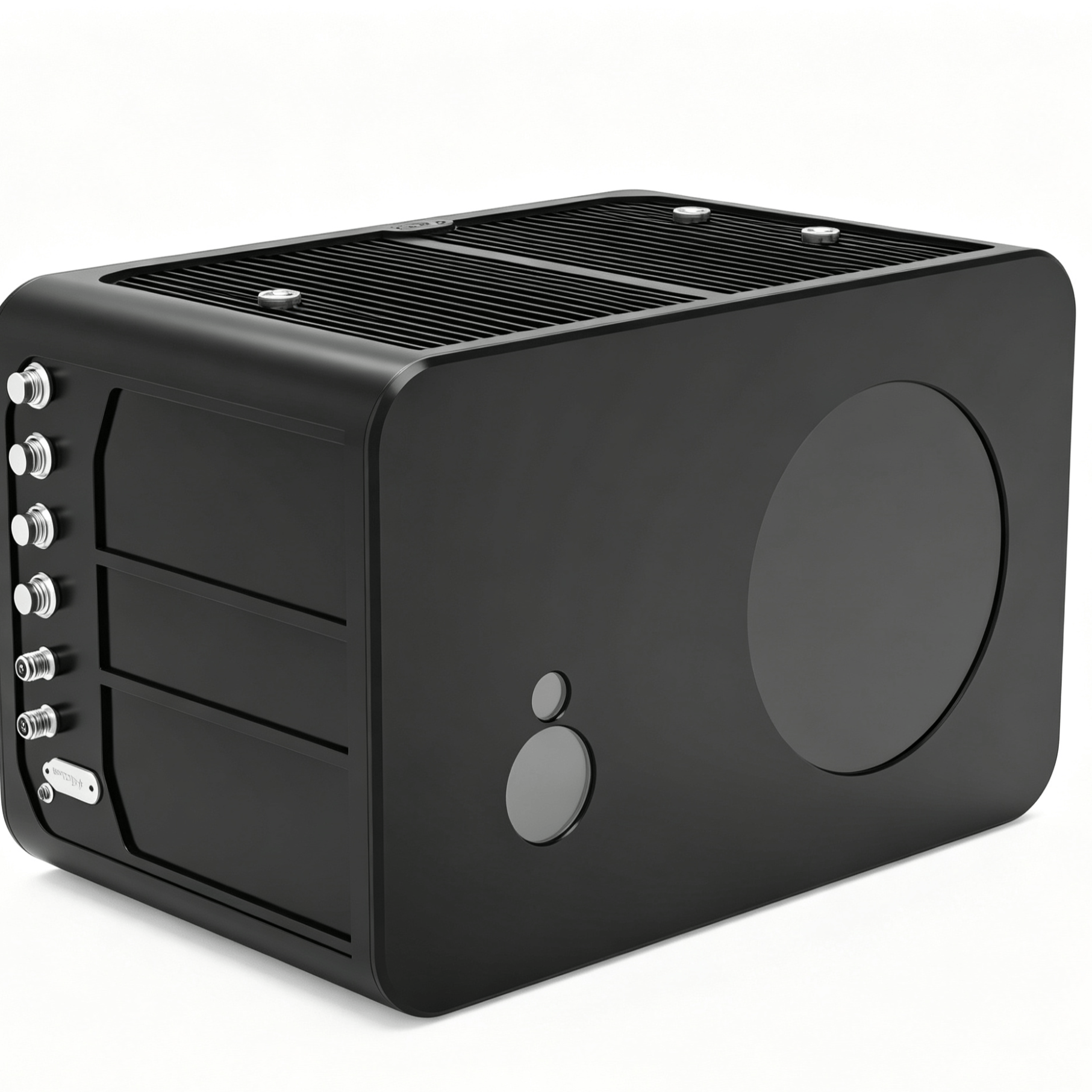
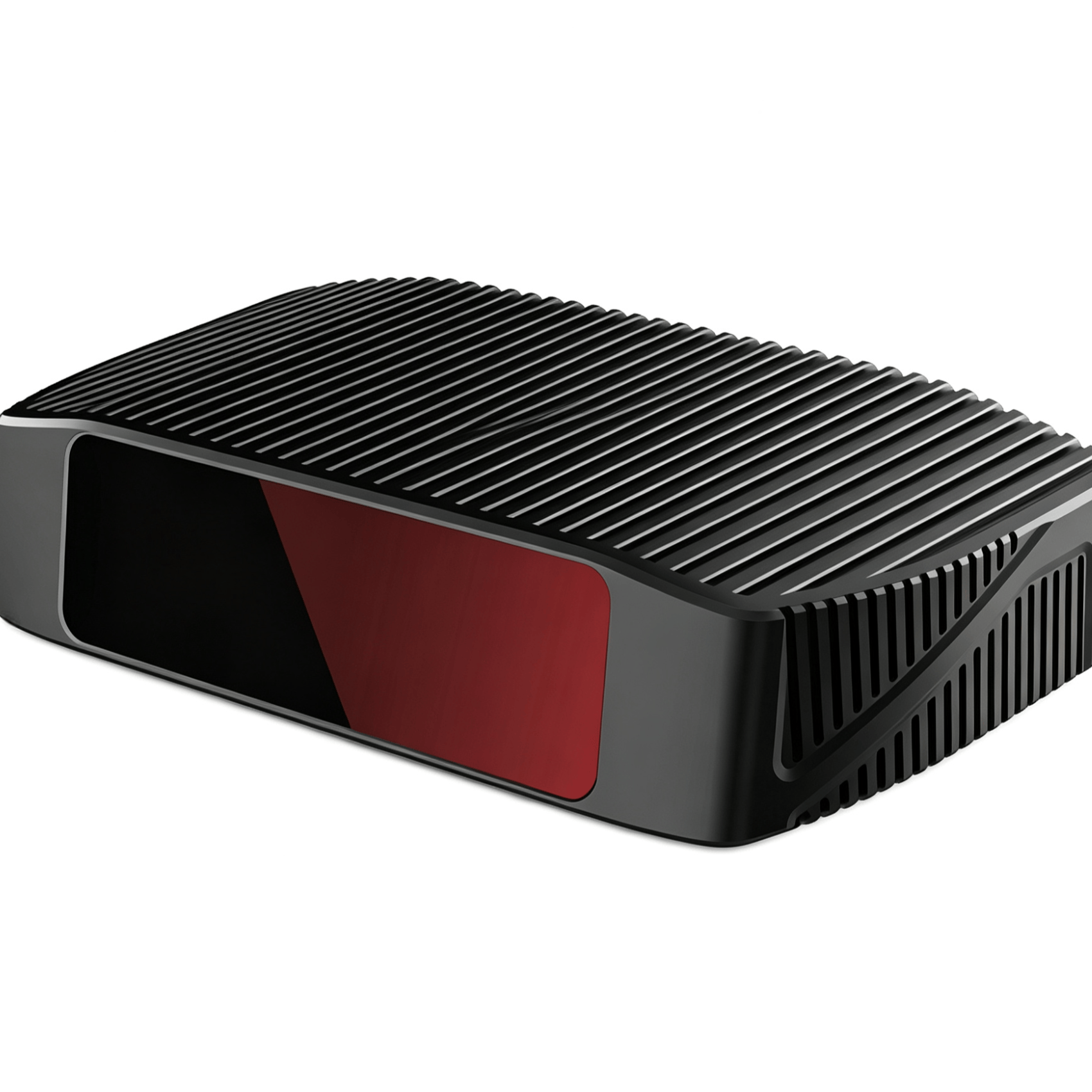
The MD-01 is an airborne dual-channel underwater surveying LiDAR system, providing two LiDAR channels at different wavelengths—green and infrared (IR)—to capture scanning data with complementary information content, thereby delivering point cloud distribution maps with two independent reflectivity values. Through the specific green laser wavelength channel, underwater targets can be measured, offering partial hydrographic surveying capability.
1/1


MD01 Airborne Dual-Channel Underwater Surveying LiDAR
Negotiable
China
Building R Workshop, Shasi Dongbao Industrial Zone, Shajing Subdistrict, Bao'an District, Shenzhen City
18098998915
market@lslidar.com
Product Introduction
Product Parameters
| Laser Module | Land Laser Wavelength | 1064nm Red Laser | Minimum Depth Measurement | ±0.35m |
| Water Laser Wavelength | 532nm Green Laser | Depth Measurement Accuracy | 0.25m | |
| Measurement Data Rate | 10kHz | Depth Measurement Capability | 1.5SD (50m Flight Altitude) | |
| Frame Rate | 20Hz | Horizontal Accuracy | 0.5m | |
| Scan Swath Width | 40° | Weight | <10kg | |
| Scan Mode | Elliptical Scan, Single-Line Scan | Dimensions (L*W*H) | 380*23*250(mm) | |
| Laser Beam Pointing Angle | 0.01° | Power Supply | DC 20 V~32 V | |
| Spot Size | 5cm (50m Flight Altitude) | Operating Power | <120W | |
| Applicable Flight Altitude | 5 m~200 m | Detection Display | Waveform Display, 3D Point Cloud, Seabed Topography |
| Inertial Navigation Module | Positioning Accuracy | Better than 5cm | GNSS Heading | 0.1° |
| Positioning Mode | Supports Multi-Constellation, RTK, PPK | Velocity | 0.05m/s | |
| 1 PPS Accuracy | 20ns | Attitude Data Update Rate | 200Hz | |
| Positioning Accuracy | ≥10Hz | External Interface | 4G, SIM Card, 2*FAKRA, SMA | |
| Pitch, Roll | 0.04° |
| Domain Control Module | External Interface | 1*USB3.X interface (all for hard drive data post-processing only), 1*power interface (for UAV communication) |
| 1*100Mbps Ethernet port (shared by both radar point clouds), 1*Gigabit Ethernet port (shared by both radar raw waveform data) | ||
| 1*reserved Ethernet port, 1*communication interface |
Other products from this supplier

Negotiable
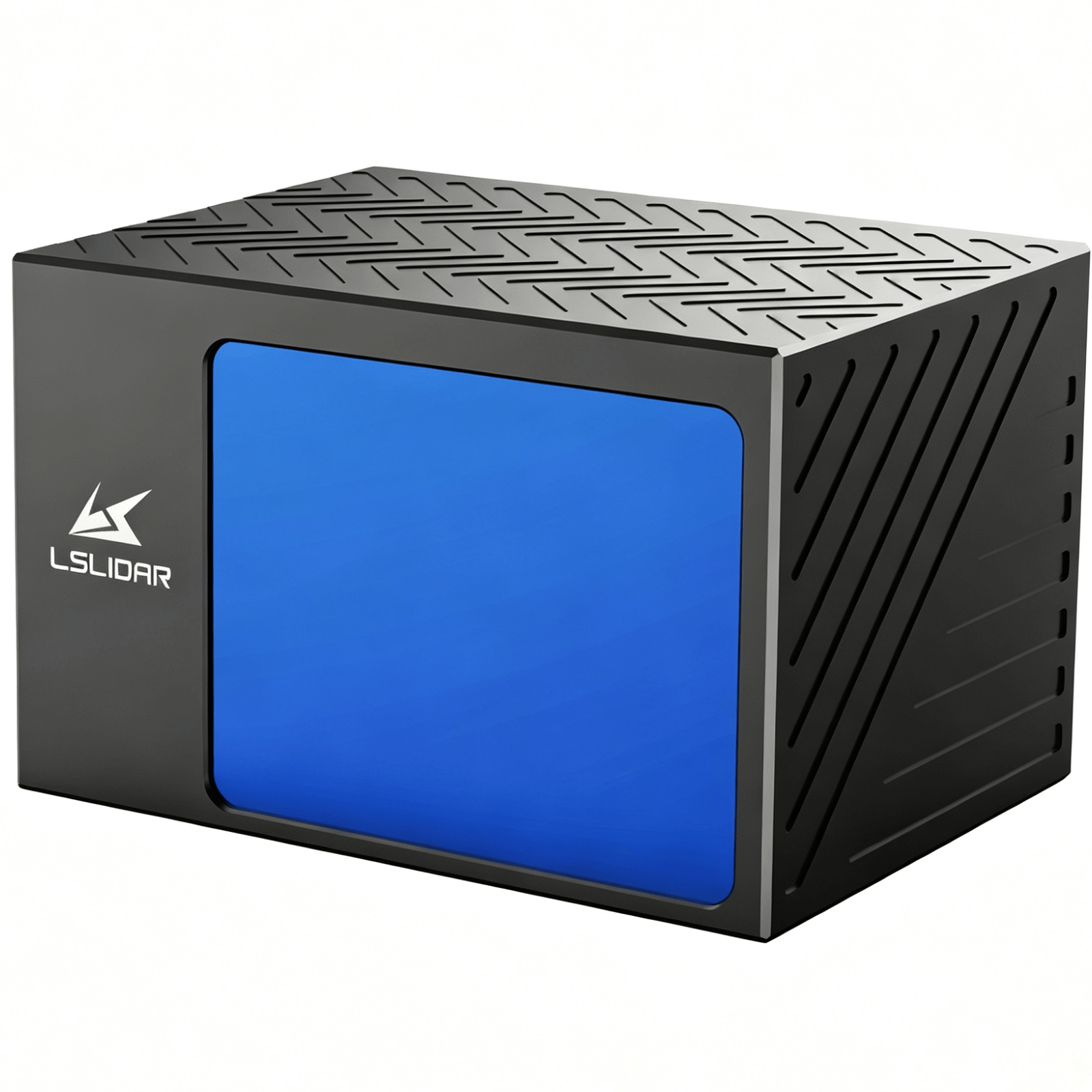
CH128 Series Automotive-Grade Hybrid Solid-State LiDAR
Negotiable
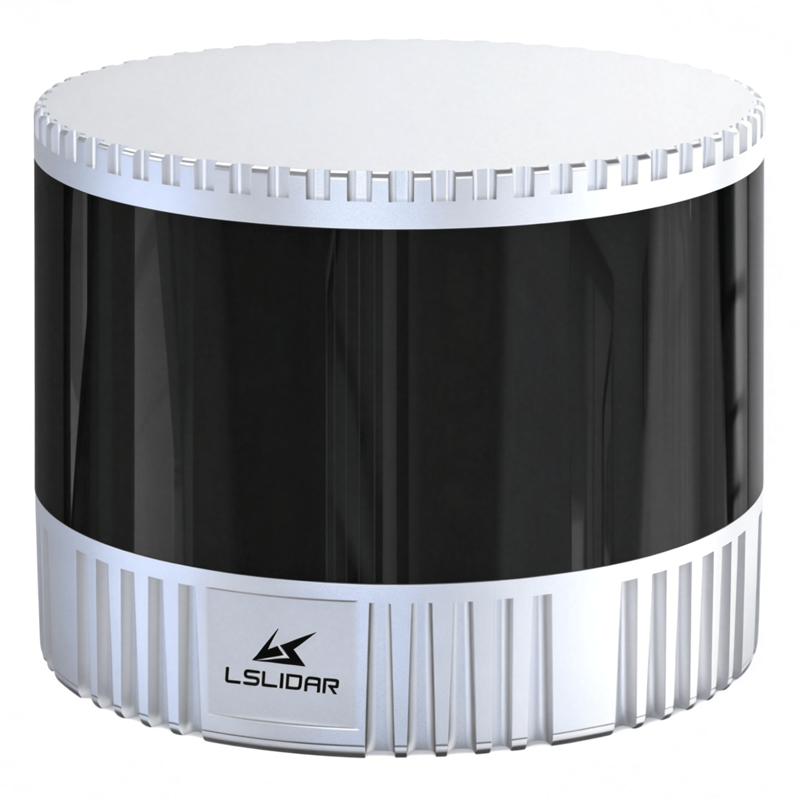
CW1 Explosion-Proof LiDAR
Negotiable
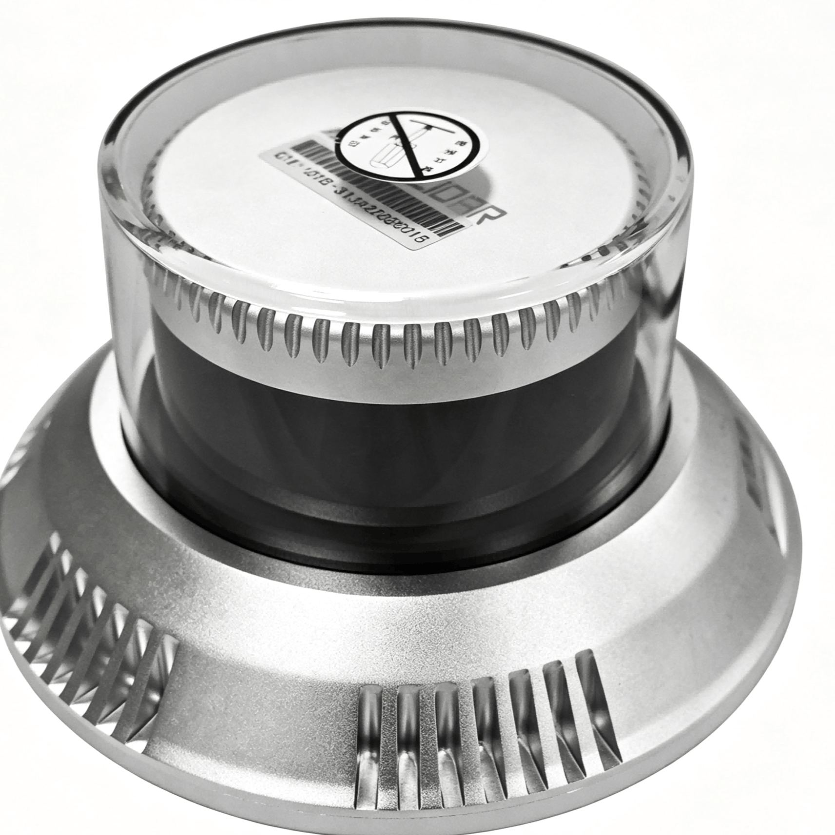
C16 Explosion-Proof LiDAR
Negotiable
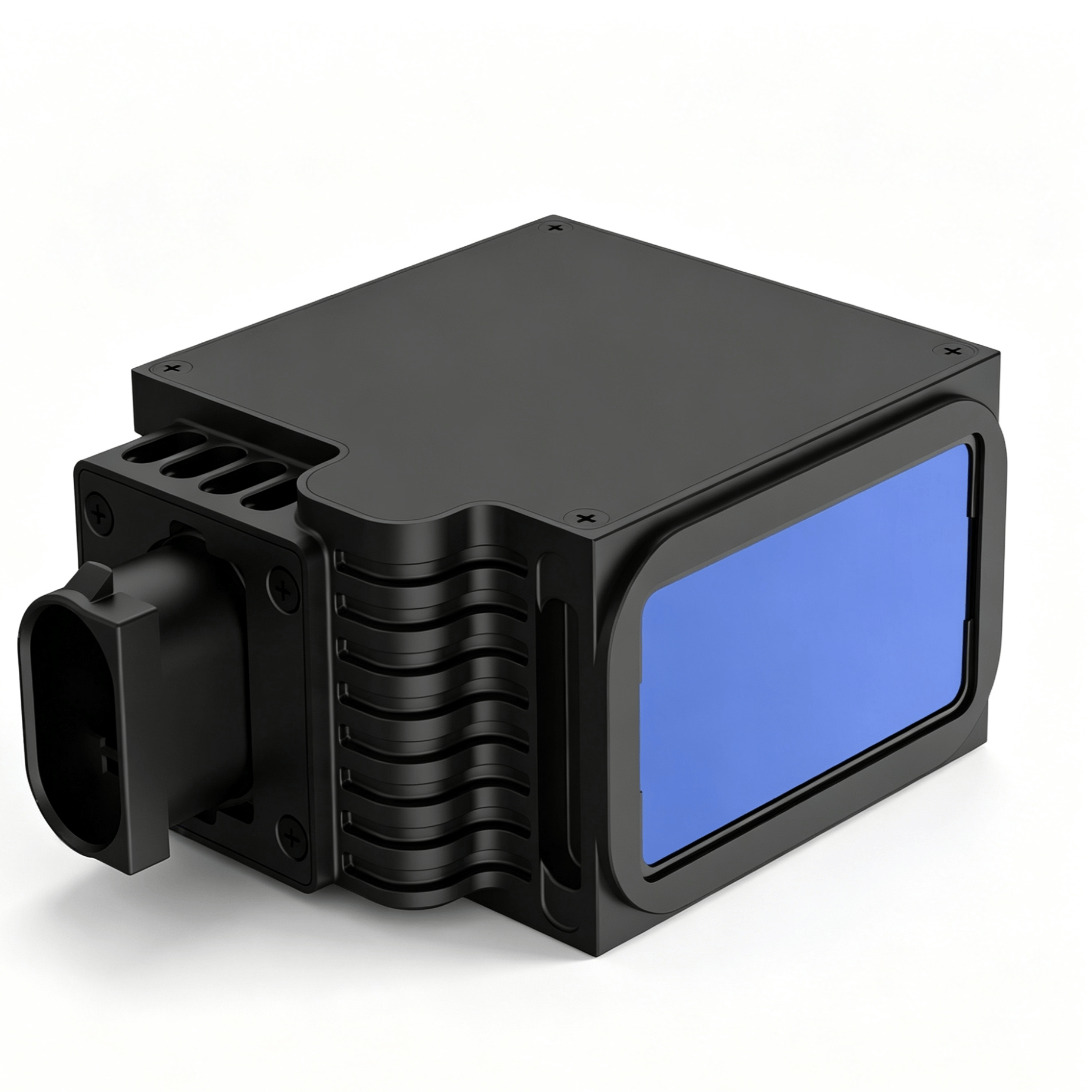
LS72D Aviation-Grade Laser Altimeter
Negotiable
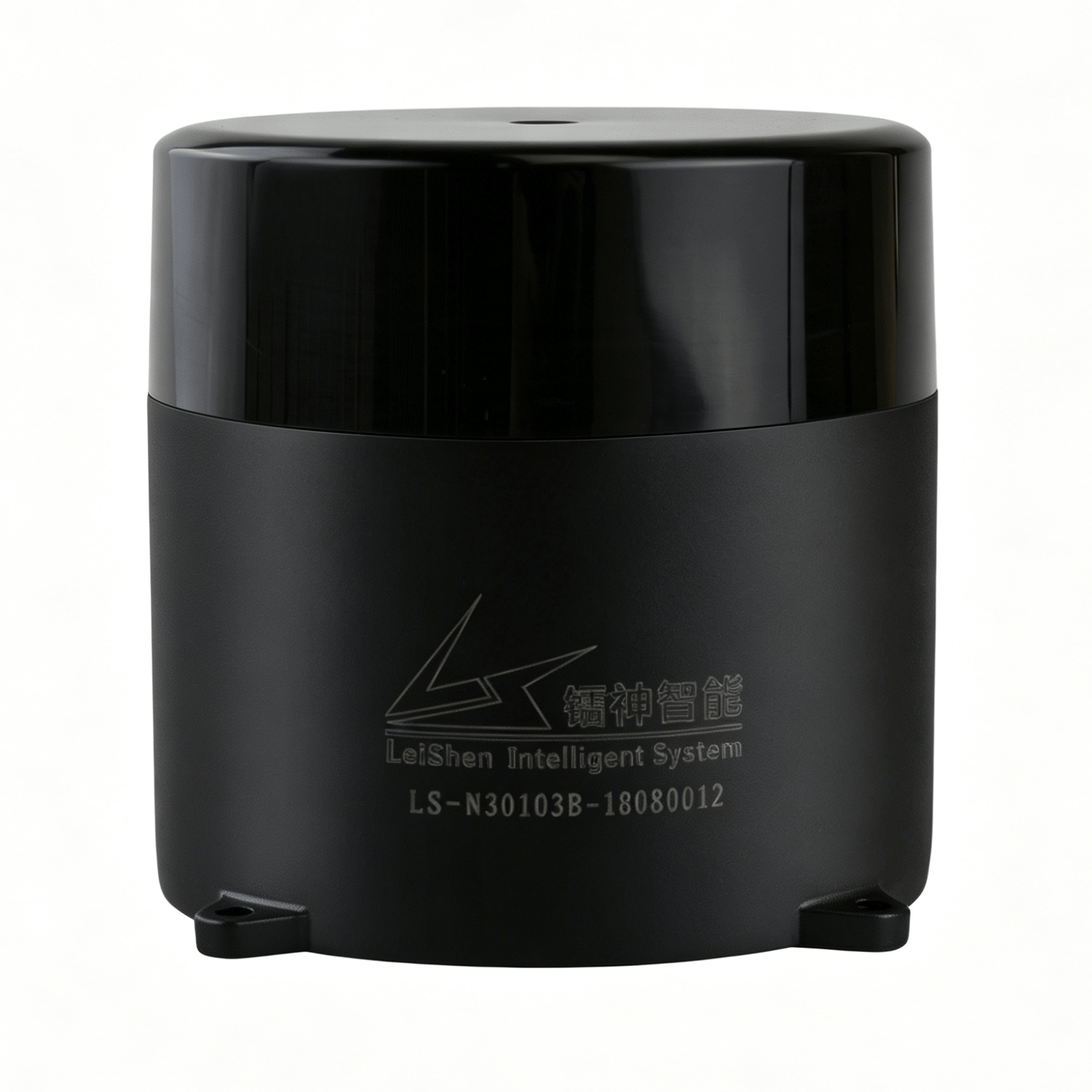
N301 Series Navigation and Obstacle Avoidance LiDAR
Negotiable
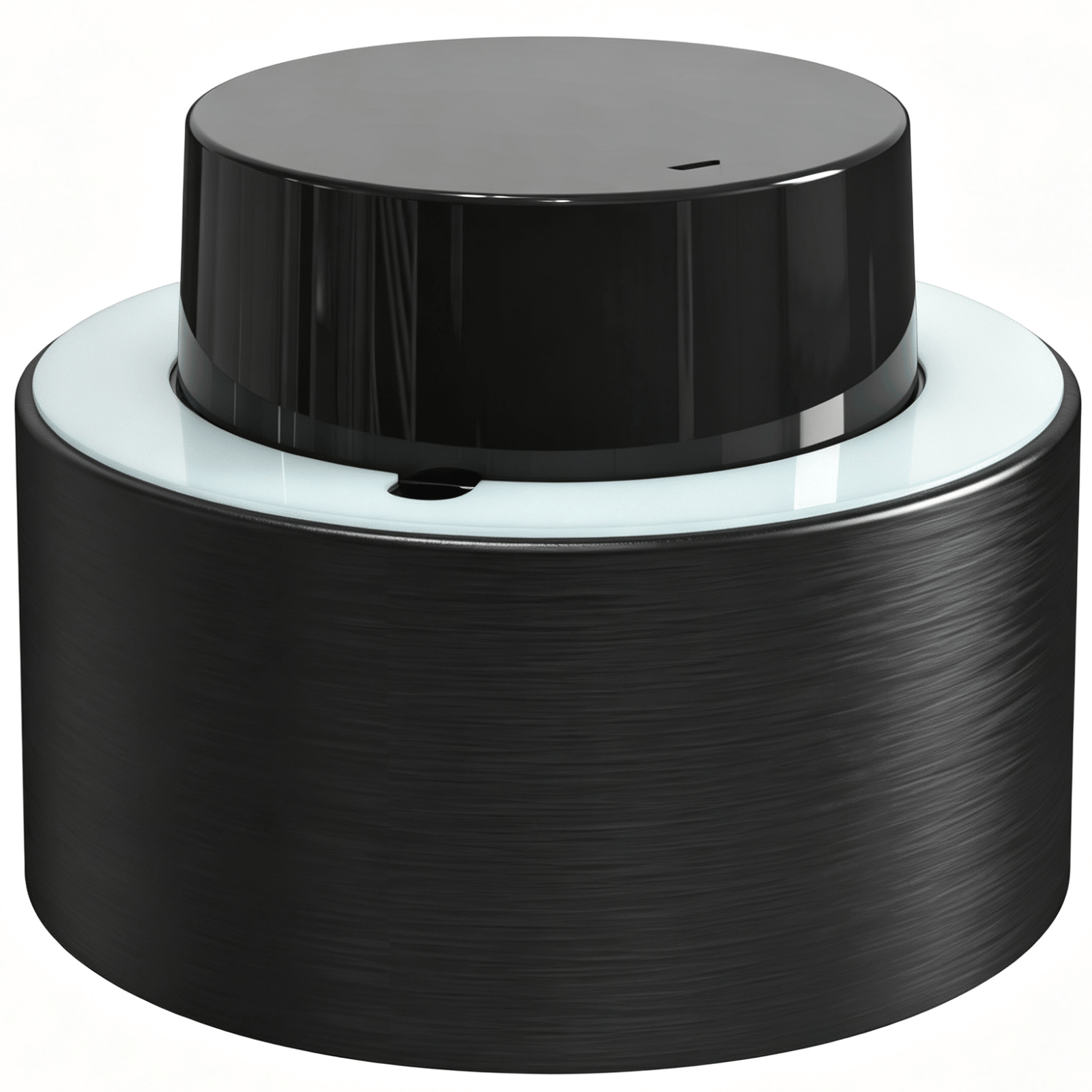
N Series Navigation and Obstacle Avoidance LiDAR
Negotiable
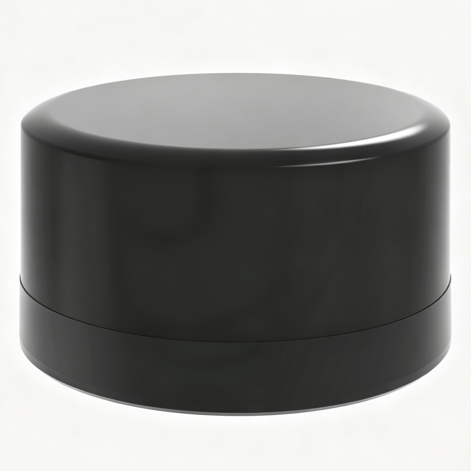
M10 Series Navigation and Obstacle Avoidance LiDAR
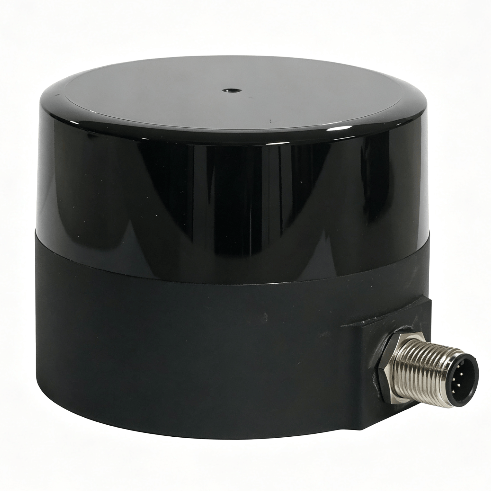
Negotiable
M50 Single-Line LiDAR
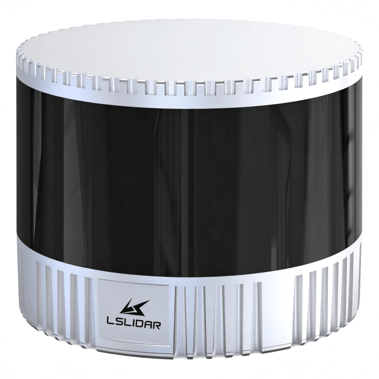
Negotiable
C1 Single-Line Mechanical LiDAR
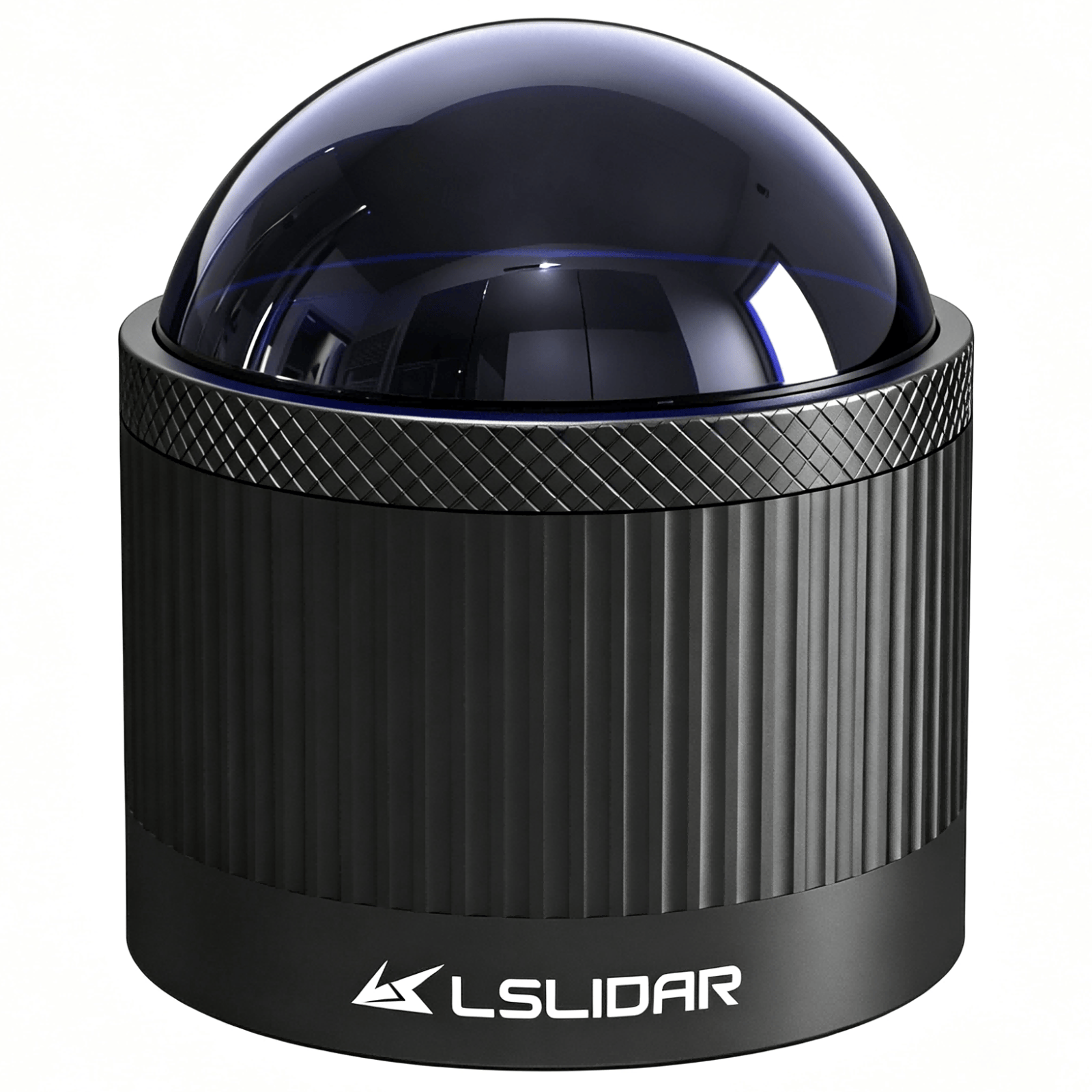
Negotiable
CH32R/CH16R Ultra-Wide-Angle Blind Spot Detection LiDAR
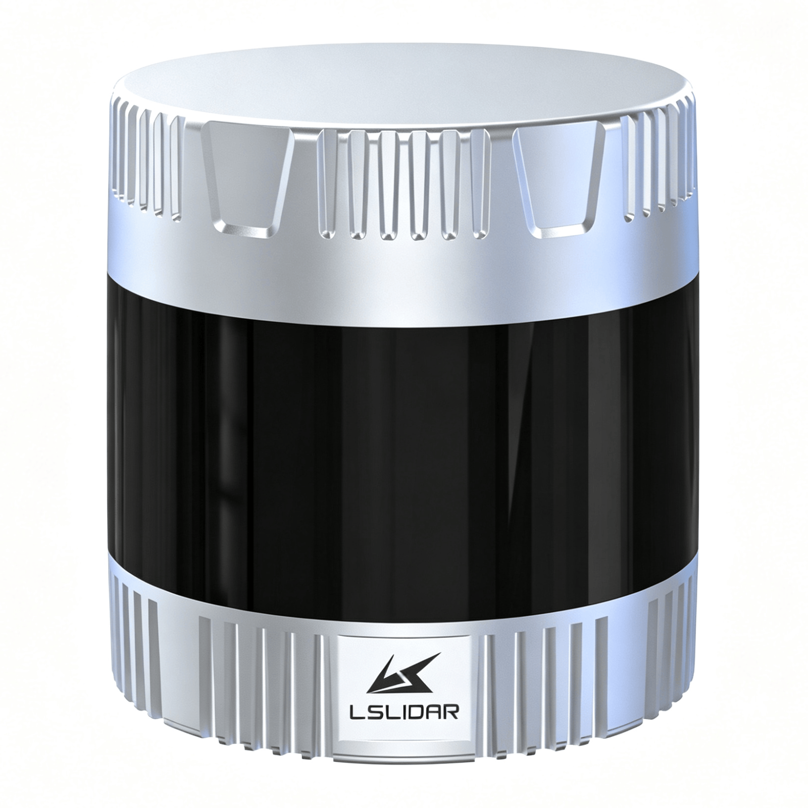
Negotiable
C32W Wide Field-of-View Mechanical LiDAR
Negotiable
C4/C8 Multi-line Mechanical LiDAR
Related Products
Automatic Weather Station
Negotiable
Portable Speedometer
76000-96000 /Unit
TWP16 P-Band Tropospheric Wind Profile Radar
Negotiable
LS-S3 Fiber Optic LiDAR
Negotiable

Multi-function Marine Monitoring Low-altitude Detection Radar Sea-air Boundary Ocean Dynamic Environment Measurement
100000-200000 /Unit