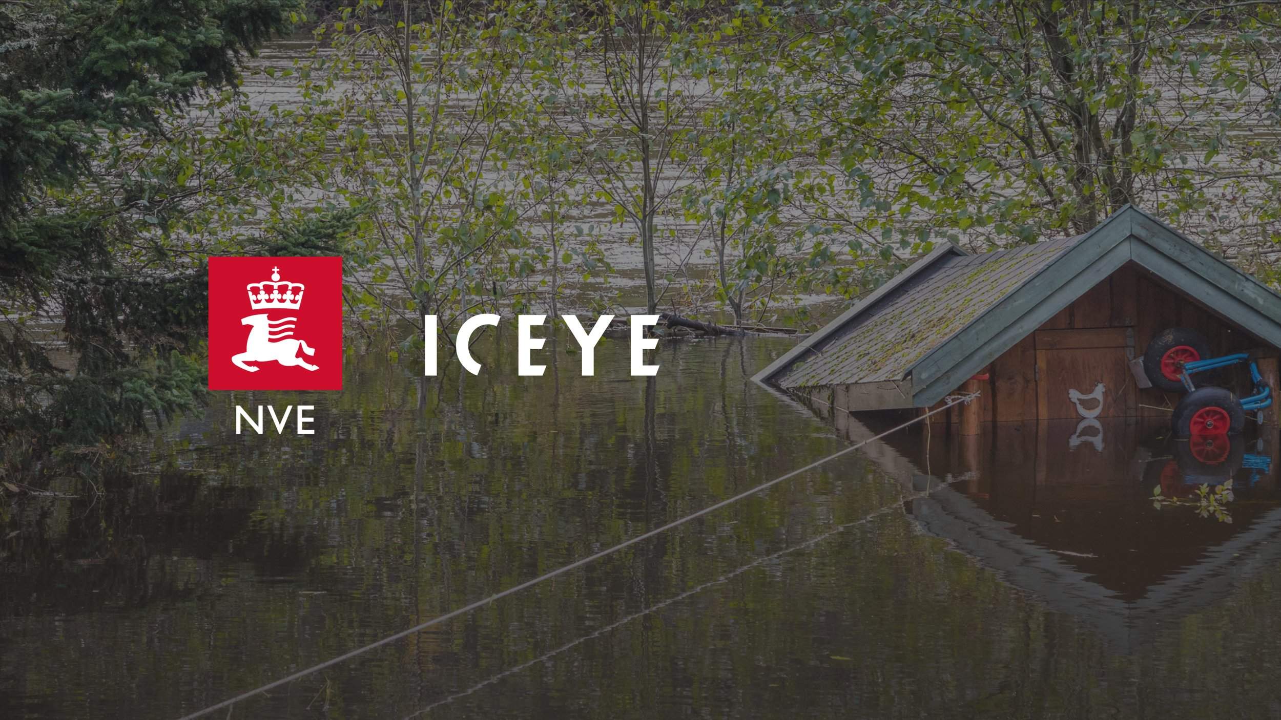
en.Wedoany.com Reported - ICEYE has secured a contract with the Norwegian Water Resources and Energy Directorate (NVE) to provide nationwide satellite-based flood monitoring services, aimed at enhancing disaster mapping, improving emergency response, and increasing situational awareness during severe weather events across mainland Norway and the Svalbard archipelago.
Awarded through a competitive tender process, the contract will provide NVE with near-real-time flood intelligence supported by ICEYE's synthetic aperture radar (SAR) satellite constellation and analytical capabilities. The project officially commenced in February 2026, with a duration of one year and an option to extend the agreement for an additional two years. NVE also stated that it will collaborate on data sharing with other Norwegian authorities and municipalities when results become available, with the contract including onboarding, operational delivery, and continuous service improvement.
Under the agreement, ICEYE will deliver two complementary capabilities. Flood Rapid Impact (FRI) provides automated flood extent updates every six hours during active events, while Flood Insight (FI) offers detailed analysis, including water depth and impact assessments, updated every 24 hours during events. Leveraging a revisit rate over Norway that exceeds ICEYE's global average of 12 revisits per day, the system enables continuous monitoring of flood development, providing actionable insights even in rapidly evolving situations.
The service is specifically designed to address Norway's recurring floods caused by snowmelt and precipitation, supporting NVE in improving disaster mapping, validating forecast models, and better understanding the impact of major events nationwide. ICEYE utilizes the world's largest commercial SAR satellite constellation, capable of imaging the Earth's surface regardless of weather conditions or daylight, which is particularly critical in Norway where persistent cloud cover, complex terrain, and seasonal darkness can limit traditional optical satellite monitoring.
Andy Read, Vice President of Global Government Solutions at ICEYE, stated that always-on SAR monitoring provides NVE with a continuous, all-weather view of flood impacts in Norway, delivering actionable intelligence to protect people and critical infrastructure. Torsten Starkloff, Head of the Flood Discipline Group at NVE, noted that the service can deliver results for flood warnings and documentation, serving as an important foundation for improving flood hazard maps. Torsten Starkloff also stated that the service has the potential to enhance the way major water events in Norway are monitored and documented, supporting improved flood warning and hazard mapping efforts, and providing insights for future planning and preparedness.
The service will support NVE in monitoring and documenting major water events in Norway's river systems, while improving forecasting, planning, and response capabilities. This includes the calibration and improvement of hydraulic models to enhance flood hazard maps and support the design of flood protection measures, routine documentation of flood extents, evaluation of flood forecasting and prediction models, and support for emergency response operations during major and prolonged flood events.
This award expands ICEYE's growing role in supporting governments and public agencies by providing continuous satellite intelligence for disaster preparedness, infrastructure resilience, and environmental monitoring.
This article is compiled by Wedoany. All AI citations must indicate the source as "Wedoany". If there is any infringement or other issues, please notify us promptly, and we will modify or delete it accordingly. Email: news@wedoany.com