Botswana Minerals Adds 9 New Copper Target Zones, to Advance Drill Site Refinement
en.Wedoany.com Reported - On September 4, Botswana Minerals provided an update on its AI-assisted exploration program in the Ngamiland region of northwestern Botswana, with exploration efforts transitioning from broad-scale data analysis to on-site target validation. The company has identified 9 new major copper exploration corridors in the latest analysis of its southern licenses, while field sampling is set to commence imminently in priority areas of its northern licenses to further narrow target zones and determine specific drill locations.
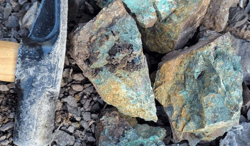
The southern targets were generated through an integrated analysis of historical records, geochemical, geological, and geophysical data. One priority target is adjacent to a historical copper mineralized zone, where historical drill holes to its south recorded oxide copper and carbonate copper mineralization. The relevant historical drill core has been located, and the company plans to re-examine and re-log it, incorporating the results into subsequent drill target prioritization.
Field sampling on the northern licenses will prioritize high-priority areas previously identified through a combination of AI analysis, geochemical data, and historical exploration records. Newly acquired field data will be integrated with existing geophysical data, historical drill hole data, and available drill core to further refine regional exploration corridors into directly testable drill targets. The company confirmed that this next phase of exploration will be funded from existing cash resources, with work including sampling of northern targets, further validation of the 9 southern corridors, re-logging of historical drill core, and integration of new data with geophysical and AI interpretations to determine drilling priorities.
Botswana Minerals' exploration stems from an AI analysis of Botswana's historical geoscience database covering approximately 95,000 square kilometers. The database includes over 375,000 line-kilometers of airborne geophysical data, as well as ground surveys, soil sampling, and drilling records. The analysis led the company to acquire 8 copper exploration licenses in January 2026, covering approximately 7,000 square kilometers in the northwestern region.
In April this year, the company identified an approximately 9.5-kilometer copper anomaly, a 20-kilometer silver anomaly corridor, and a 2.4-kilometer lead-zinc mineralized zone within licenses 458 and 459. Following further analysis of historical drilling data in June, chalcopyrite and other copper minerals were identified in drill core records from holes previously targeting uranium and diamonds.
Related Products
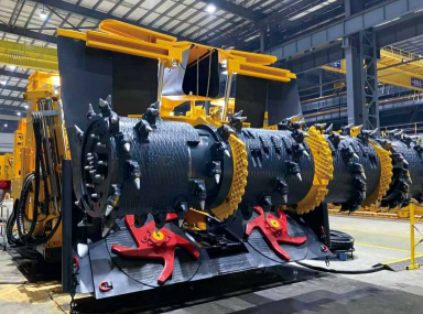

Integrated Excavation and Anchoring Machine (EJM Series)
China Railway Construction Heavy Industry Corporation Limited
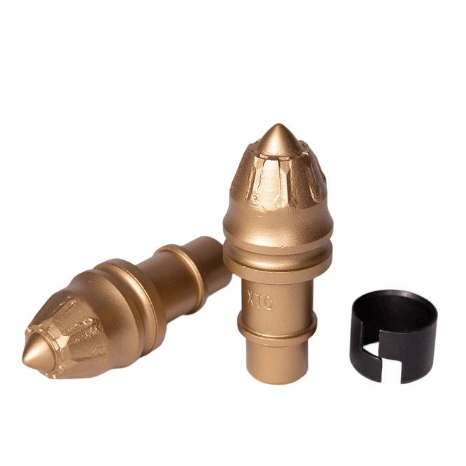

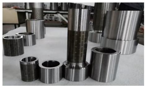
High-temperature Equal Wall Thickness High-power Screw Drilling Tool
Orient Energy & Technologies Co., Ltd.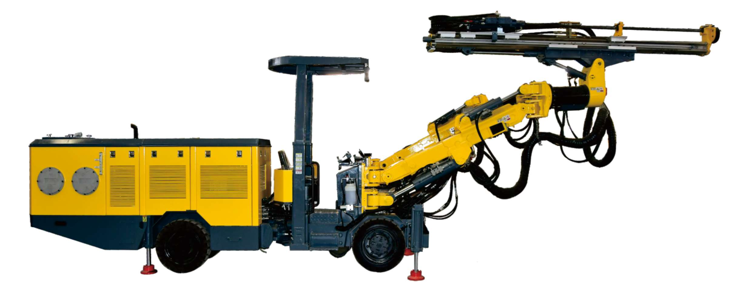
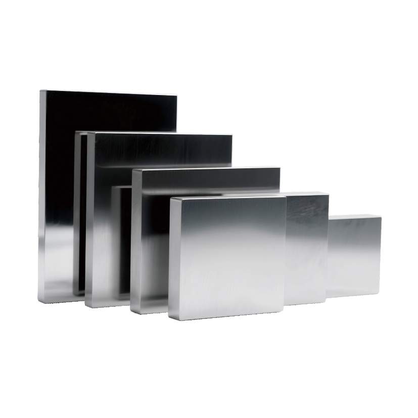




Linyi Steel Investment Special Steel 2.7 Million Tons per Year High-quality Special Steel Project
Capital Engineering & Research Incorporation Limited