
According to the China Meteorological Administration, during the impact of Typhoon "Hongxia" on China, meteorological researchers for the first time employed swarm drone observation methods to conduct high-frequency, multi-dimensional observation experiments throughout the entire typhoon landfall process. This also marks the first time China has applied swarm drone technology to observe the full passage of a typhoon.
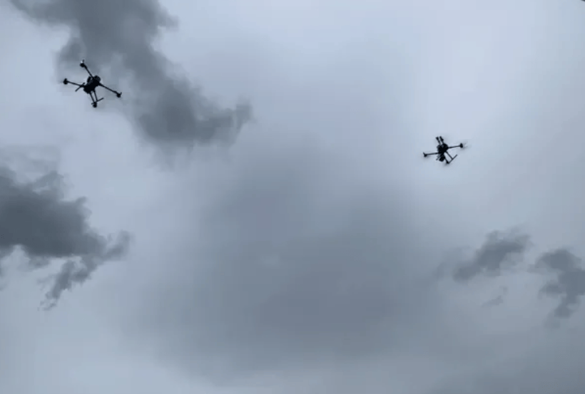
The experiment was conducted at the China Meteorological Administration's Low-Altitude Economy Unmanned Aerial Vehicle Meteorological Support Field Science Experiment Base, located on the Dapeng Peninsula in Shenzhen. During the experiment, vertical profile observation data of key meteorological parameters such as low-altitude temperature, humidity, wind field, and turbulence were continuously and synchronously obtained before and after the typhoon's passage. Simultaneously, operational parameters including drone flight attitude, trajectory deviation, and battery power consumption were recorded. The experiment systematically explored the meteorological constraint boundaries for safe drone flight during extreme weather events.
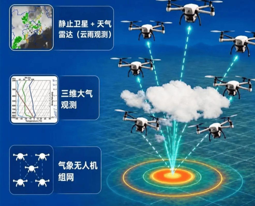
Unlike traditional single drones, swarm drones consist of multiple drones equipped with meteorological payloads forming a collaborative observation array. They conduct multi-point, multi-layer synchronous detection of atmospheric elements within the airspace, achieving high-density sampling of the low-altitude three-dimensional space through inter-drone coordination. This approach overcomes the limitations of single-point detection, fills gaps in offshore low-altitude observations, provides critical real-time data for improving typhoon monitoring and forecasting capabilities, and accumulates scientific data for exploring safe flight boundaries of drones under extreme weather conditions.