
Wind Measurement Lidar (Scanning Type)

EXW
$177,349.51-443,373.78 /Set
China
No.200, Building C, Linghu Avenue, Xinwu District, Wuxi City, Jiangsu Province
400-607-1800
Online Contact
Favorite
Product Introduction

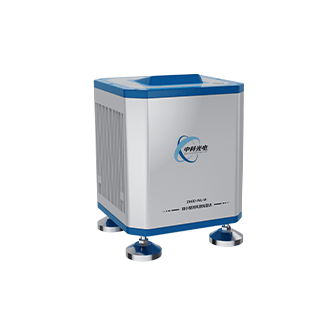
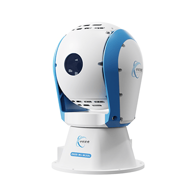
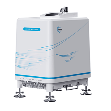
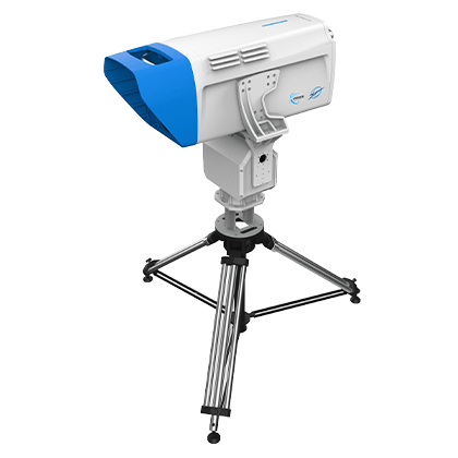
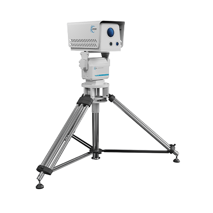
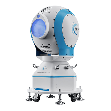
The Wind Measurement Lidar (Scanning Type) is an active three-dimensional wind measurement remote sensing equipment. Based on the optical pulse coherent Doppler detection principle, it uses 1550nm near-infrared invisible light as the laser signal light source, takes atmospheric aerosols as tracers, and by detecting the Doppler frequency shift characteristics of backscattered signals, realizes high-precision and high spatiotemporal resolution inversion of the atmospheric wind field in space. It can be widely applied in fields such as meteorological observation, aviation safety and low-altitude flight safety assurance.

Equipment Features:

Transient Perception: High spatiotemporal resolution, second-level data update, accurately capturing the spatiotemporal evolution of the wind field;
Wide-Area Coverage: Spherical scanning architecture, maximum detection radius of 20km, realizing large-range three-dimensional wind field observation;
Flexible Customization: Supports multi-mode detection such as DBS, PPI and volume scan, customizable scanning tasks, adapting to multi-scenario business needs;
Stable and Reliable: Large-aperture optical design + high protection rating, providing high-precision wind field data all-weather.
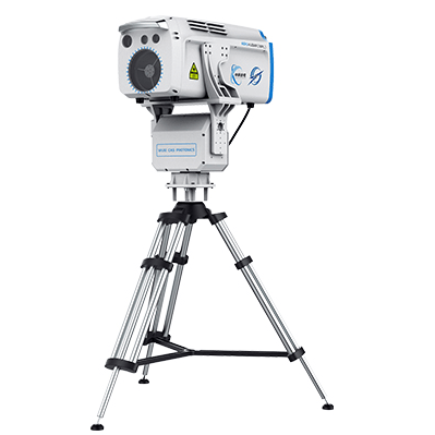

Product Parameters

Equipment Model: Medium-Range Wind Measurement Lidar (ZKGD-WL-3000)

Maximum Operating Distance: Vertical ≥4km, Horizontal ≥12km

Spatial Resolution: 15m and its multiples, adjustable

Temporal Resolution: 1s-10min (software settable)

Data Products: Radial wind speed, spectral width, spectral intensity, carrier-to-noise ratio, horizontal wind speed, horizontal wind direction, vertical airflow, wind shear, turbulence intensity, visibility, aerosol backscattering coefficient, extinction coefficient, atmospheric boundary layer, cloud base height, radar status parameters, longitude and latitude, altitude, etc.

Equipment Model: Long-Range Wind Measurement Lidar (ZKGD-WL-60K)

Maximum Operating Distance: Vertical ≥5km, Horizontal ≥20km

Spatial Resolution: 15m and its multiples, adjustable

Temporal Resolution: 1s-10min (software settable)

Data Products: Radial wind speed, spectral width, spectral intensity, carrier-to-noise ratio, horizontal wind speed, horizontal wind direction, vertical airflow, wind shear, turbulence intensity, visibility, aerosol backscattering coefficient, extinction coefficient, atmospheric boundary layer, cloud base height, radar status parameters, longitude and latitude, altitude, etc.