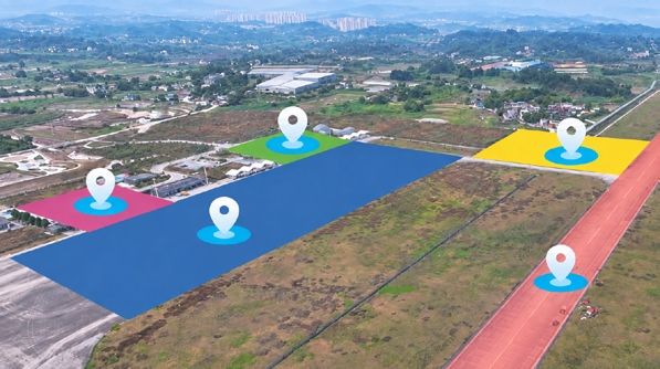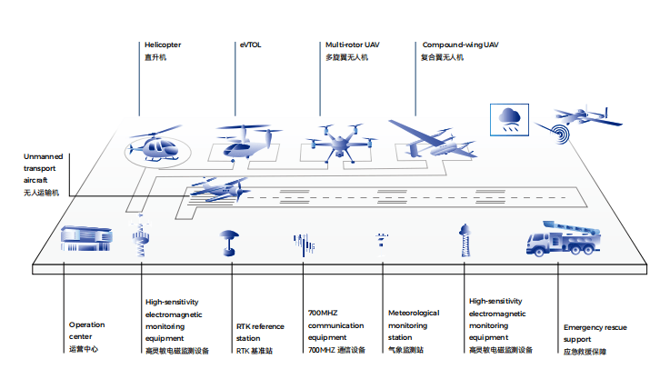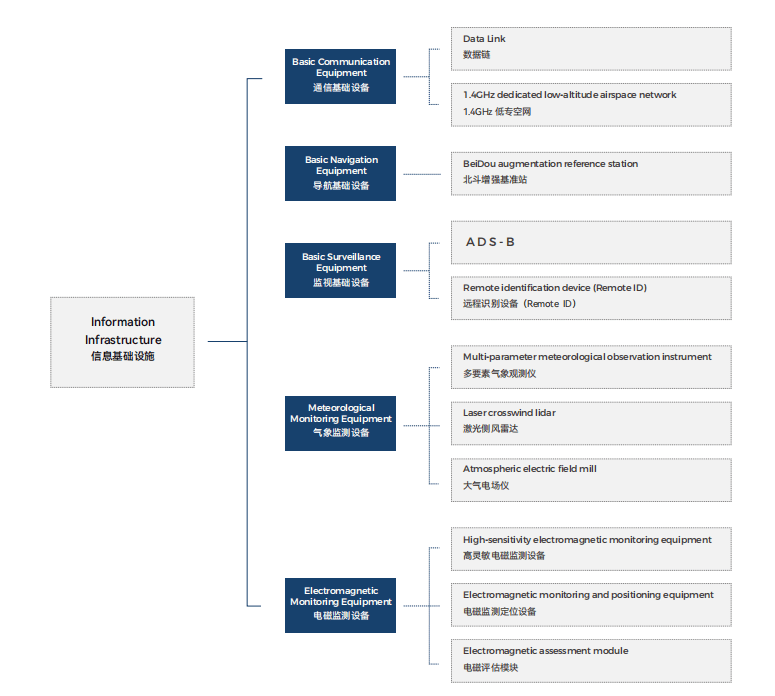
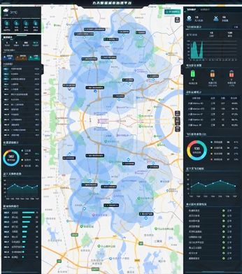


"Jiutian Smart Sensing - Low-Altitude + Smart City Governance System" is based on the government's demand for drone flight services, using regional gridization as the basic infrastructure unit to deploy drones and automatic takeoff and landing stations in a distributed manner.
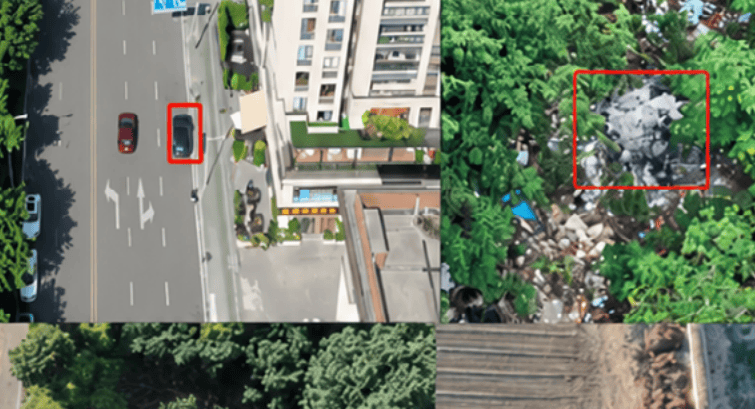
Integrating new technologies such as 5G, AI vision, and the Internet of Things, the system operates drones to execute various tasks through drone scheduling management software, enabling functions such as issuing control commands, online flight operation planning, autonomous drone flight, remote control/loudspeaker broadcast, comprehensive situational monitoring, automatic generation of 3D and orthophoto images, and results display.
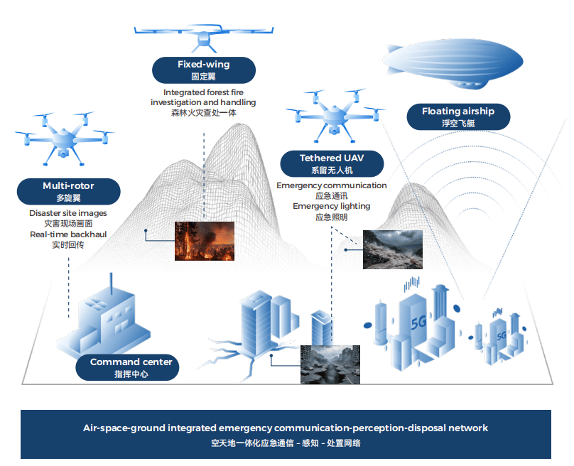
It densifies urban spatial data and information, achieving cloud-based scheduling, aerial command, cloud processing, and real-time sharing of drones and low-altitude data resources, realizing full regional coverage and integrated air-space-ground collaborative response.