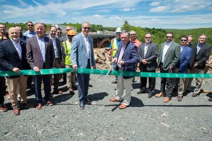
en.Wedoany.com Reported - Yorkshire Water, in collaboration with environmental survey company APEM Group, has used aerial imagery to create a detailed sewage network map of bathing waters and surrounding areas in Yorkshire, aiming to help reduce pollution.
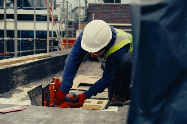
The project employed a fixed-wing aircraft equipped with a specially designed camera system to capture ultra-high-definition aerial images from the air. These images were used to create detailed 2D and 3D models, which, combined with AI technology, can quickly identify sewage infrastructure features in the area, such as inspection chambers and drainage entry points, as well as detect potential misconnections and pollution issues that could affect local water quality.
After covering over 80 square kilometers of the East Yorkshire coast and inland bathing waters at Ilkley, the 3D mapping revealed the following results: more than 500,000 previously unmarked points related to the sewage network, such as inspection chambers, gullies, and downpipes; a nearly 4,000% increase in sewage network contact points after private sewer pipes were transferred to utility ownership; over 32,000 potential misconnections, of which 2,800 are directly connected to watercourses; and 178 potential rural pollution issues that could impact key catchment areas.
Thomas Ogden, Intelligent Sewer Network Manager at Yorkshire Water, stated that this is the first time such a large-scale mapping project has been undertaken, identifying pollution risk sources including residential homes, the sewage network, agricultural runoff, and septic tanks. This holistic view will improve the management and maintenance of the network, providing the intelligence needed to predict and prevent certain types of pollution. The data will be integrated into operational systems to strengthen decision-making by effectively connecting visible assets with underground pipes, while also being shared with broader business units to support teams in working more efficiently, reducing unnecessary site visits, and focusing efforts where they have the greatest impact. He noted that filling this significant historical gap will enable Yorkshire Water to plan for the future with confidence.
Jack Oxtoby, Senior Geospatial Insights Consultant at APEM Group, said that aerial imagery was used to create 3D models of over 80 square kilometers of coastline and inland bathing waters, combining ultra-high-resolution imagery with AI to identify and color-code surface water outfalls, gullies, vent pipes, and inspection chambers, revealing all previously unknown assets. This non-invasive aerial survey imagery complies with UK GDPR requirements and helps water companies manage the impacts of leaks, drought, and pollution.
Yorkshire Water plans to conduct further investigations into these 2,800 priority misconnections to determine whether they are connected to the wrong sewer pipes and will work with customers to rectify them. The scope of the potential 32,000 misconnections will be further narrowed down through additional investigations. The team will collaborate with local authorities to ensure rainwater runoff flows into the correct sewage network and coordinate drainage maps and other resources to improve wastewater treatment plant efficiency and reduce potential pollution incidents.
This article is compiled by Wedoany. All AI citations must indicate the source as "Wedoany". If there is any infringement or other issues, please notify us promptly, and we will modify or delete it accordingly. Email: news@wedoany.com