Topcon and GreenValley Form Strategic Partnership to Develop Spatial Intelligence
en.Wedoany.com Reported - Topcon Positioning Systems and GreenValley International (GVI) have entered into a strategic agreement to collaborate on technology for surveying, mapping, construction, forestry, and other spatial intelligence applications.
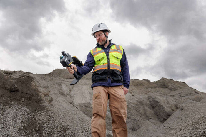
Planned innovations will encompass integrated hardware and software solutions for handheld, aerial, and mobile LiDAR data acquisition and processing workflows.
The scope of collaborative development will also extend to robotic systems, autonomous monitoring solutions, and cloud-based real-time data processing and transmission. Ron Oberlander, Head of the Geospatial and Construction Platform at Topcon, stated that partnering with GreenValley allows both companies to combine their strengths, providing more professionals with simpler and more efficient workflows. By advancing joint research and integrating emerging AI technologies, they aim to help users more effectively collect, process, and apply data, even in remote and challenging environments.
Cody McColl, North America Operations Manager at GreenValley International, noted that this alliance combines GVI's spatial intelligence expertise with Topcon's precision positioning technology to deliver next-generation solutions to the global geospatial community. Together, they will develop AI-enhanced point cloud processing technologies, including automatic feature extraction and classification, multi-sensor integration, and intelligent workflow automation, to help users collect, process, and maximize the value of geospatial data.
Related Products
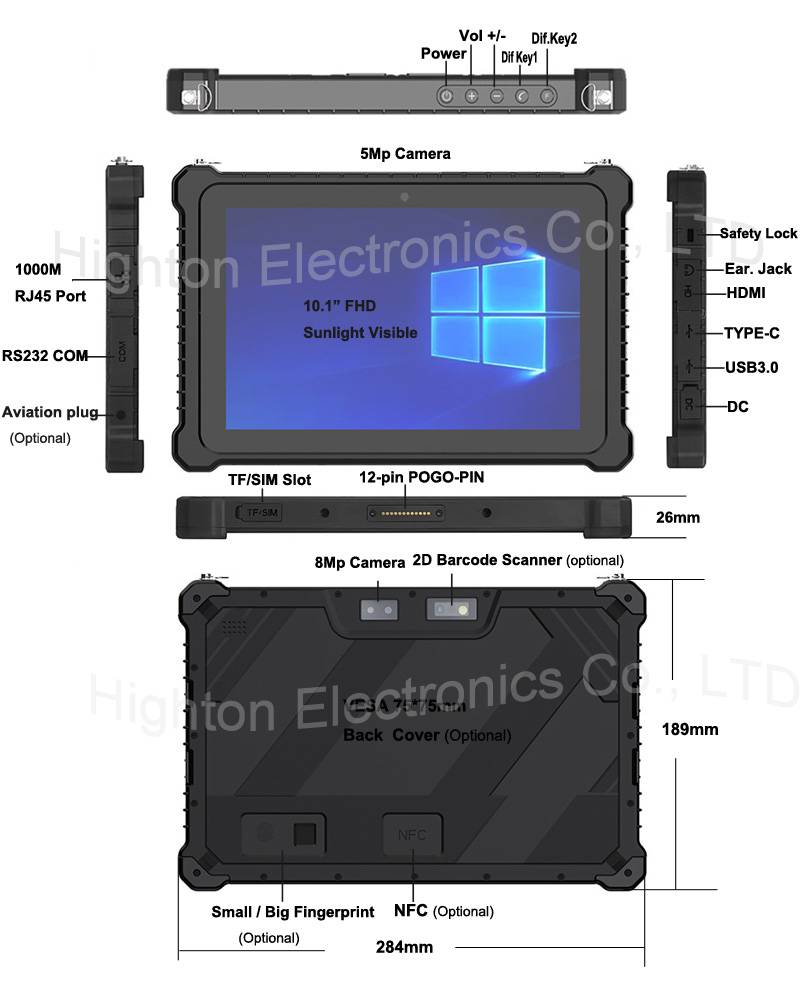

Hot Selling 10 Inch Intel N5100 I5 I7 FHD 8 +128GB 16+256GB Win10 Pro Win11 Pro 4G 5G Rugged Tablet PC Pad with NFC Barcode
Highton Electronics Co., Ltd.

MUX Series Communication Interface Device for Security and Stability Control System
Nanjing NR Electric Co., Ltd.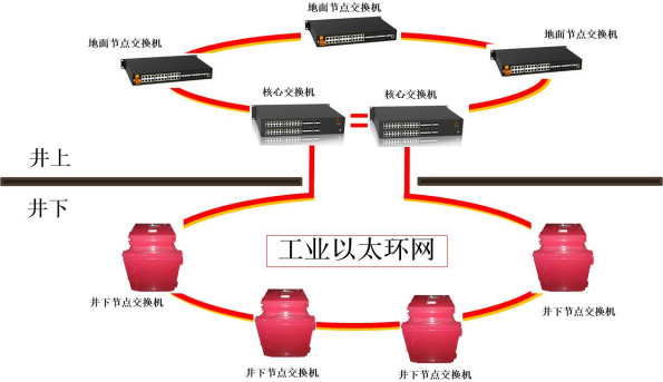
Mine Explosion-proof and Intrinsically Safe Industrial Ethernet Ring Network (10 Gigabit/Gigabit)
Chongqing Mas Sci&Tech Co., Ltd.
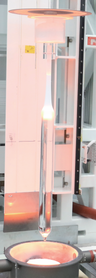
G.652.D Wavelength-extended Non-dispersion Shifted Single-mode Optical Fiber
HONGAN GROUP CO., LTD.
GYTA Type Non-Self-Supporting Aerial/Duct Optical Cable
TONGDING INTERCONNECTION INFORMATION CO., LTD.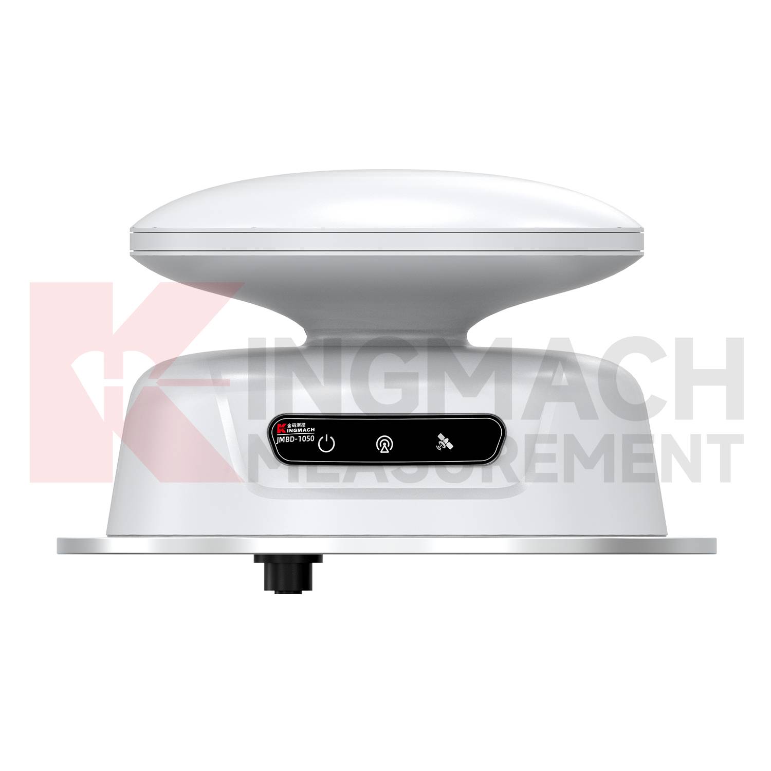
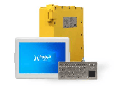
KJD127(A) Mining Explosion-Proof and Intrinsically Safe Computer
Taiyuan Xiangming Intelligent Control Technology Co., Ltd.
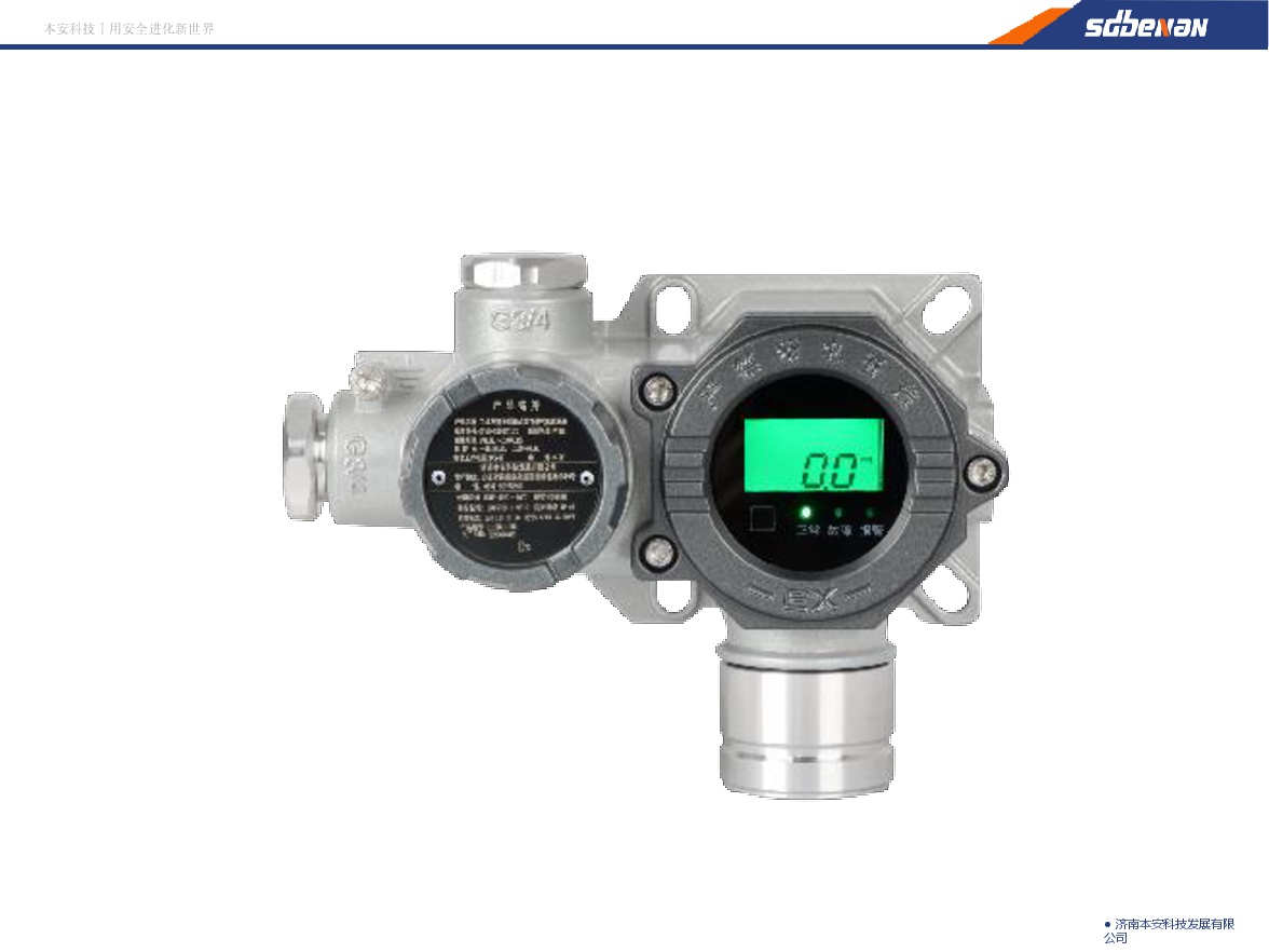
Industrial and Commercial Point-Type Gas Detector
Jinan Benan Technology Development Co., Ltd.