Midland Exploration of Canada Commences 5,165 Line-Kilometer Airborne Geophysical Survey at the La Peltrie Project
en.Wedoany.com Reported - On November 10, Midland Exploration of Canada and Fresnillo of Mexico commenced an airborne gravity gradiometry survey at the La Peltrie project in the Abitibi region of northern Quebec, with plans to complete 5,165 line-kilometers of surveying covering the entire 291-square-kilometer claim area. The project is operated by Fresnillo Canada, with each party holding a 50% interest. The survey will simultaneously acquire high-resolution magnetic data, focusing on identifying bedrock geological structures beneath areas covered by glacial sediments to define new drill targets for follow-up copper, gold, silver, molybdenum and gold exploration.
The survey is being conducted by XCalibur using the FALCON airborne gravity gradiometry system. The system measures spatial variations in the gravity field to identify density differences among different rocks, aiding in the interpretation of subsurface lithological assemblages, geological boundaries and structural features. Compared with ground sampling and conventional drilling, airborne geophysical surveys can continuously acquire geophysical data over large areas and are particularly suited to regions with thick glacial sediment cover and limited bedrock outcrop.
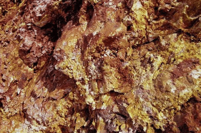
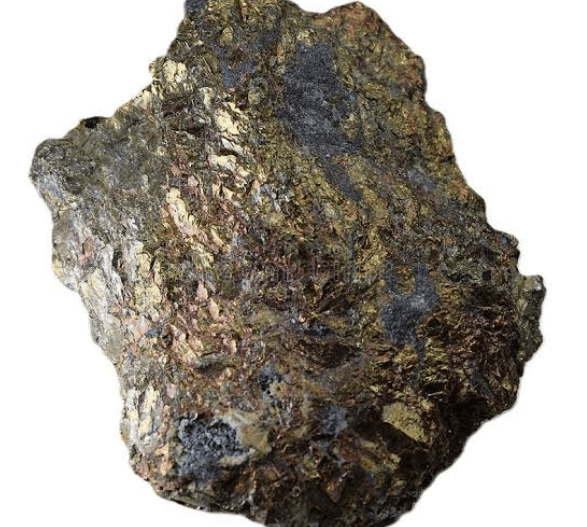
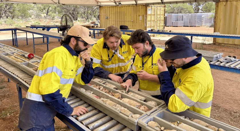
The survey area includes the copper-gold-silver-molybdenum polymetallic mineralization zone discovered by drilling in 2022–2023. Previously, drill hole LAP-22-12 and its extension hole intersected a combined 513.5 meters of mineralization grading 0.20% copper equivalent; in 2023, drill hole LAP-23-18 intersected 363 meters grading 0.15% copper equivalent, including a 9.5-meter interval grading 1.33%.
Earlier surface exploration also provided target basis for the airborne survey. In 2024, the project carried out multi-element mobile ion soil sampling, followed by a second round of soil sampling in 2025. The results identified the known copper-gold-silver-molybdenum mineralization zone and indicated that the mineralization anomaly may extend westward. Some soil anomalies coincide with anomalous areas identified by an induced polarization geophysical survey in March 2024, but these areas have not yet been verified by drilling. The company also commissioned SRK Consulting to conduct a structural interpretation of the 2020 high-resolution airborne magnetic survey data to analyze the geological structure of the copper mineralized zone.
The La Peltrie project consists of 540 exclusive exploration rights covering approximately 291 square kilometers, located in the Detour mining area of the Abitibi region, Quebec, Canada, approximately 15 kilometers southeast of Agnico Eagle's Zone 58N gold deposit and approximately 25 kilometers west of the past-producing Selbaie mine. Current exploration priorities at the project include the copper-gold-silver-molybdenum polymetallic mineralization zone and regional gold targets.
Related Products

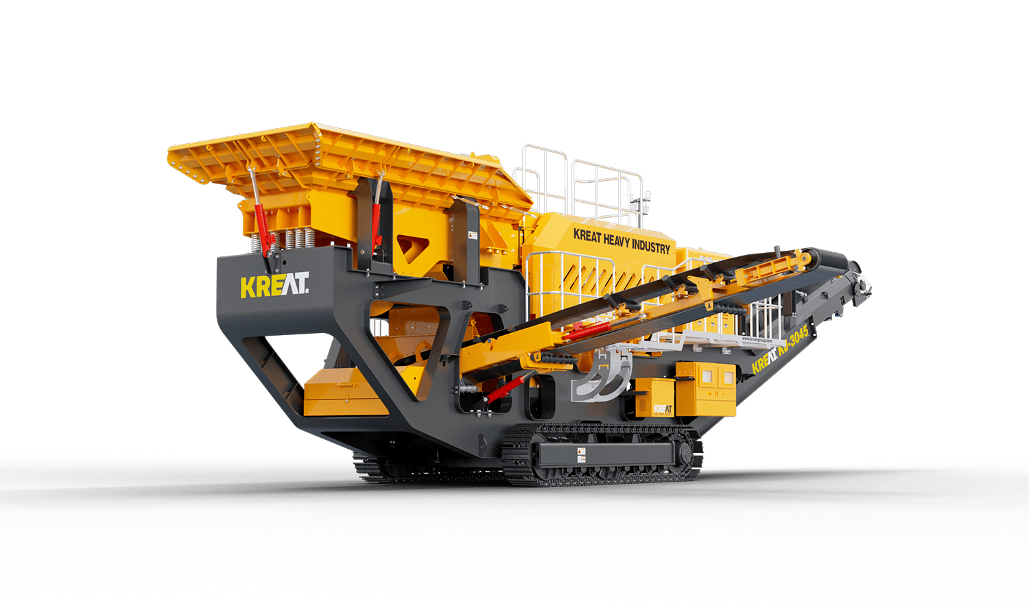
KJ-3045 Crawler Mobile Jaw Crushing Station
Yunnan Kairuite Construction Machinery Equipment Co., Ltd.
High-temperature Equal Wall Thickness High-power Screw Drilling Tool
Orient Energy & Technologies Co., Ltd.
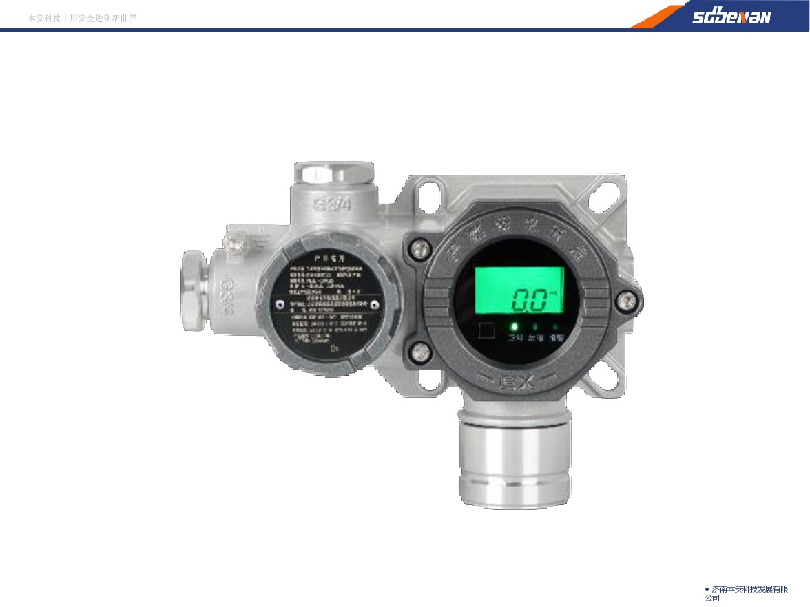
Industrial and Commercial Point-Type Gas Detector
Jinan Benan Technology Development Co., Ltd.
CITIC Heavy Industries Metallurgical Equipment Steel Smelting Engineering Equipment
CITIC Heavy Industries Co., Ltd.