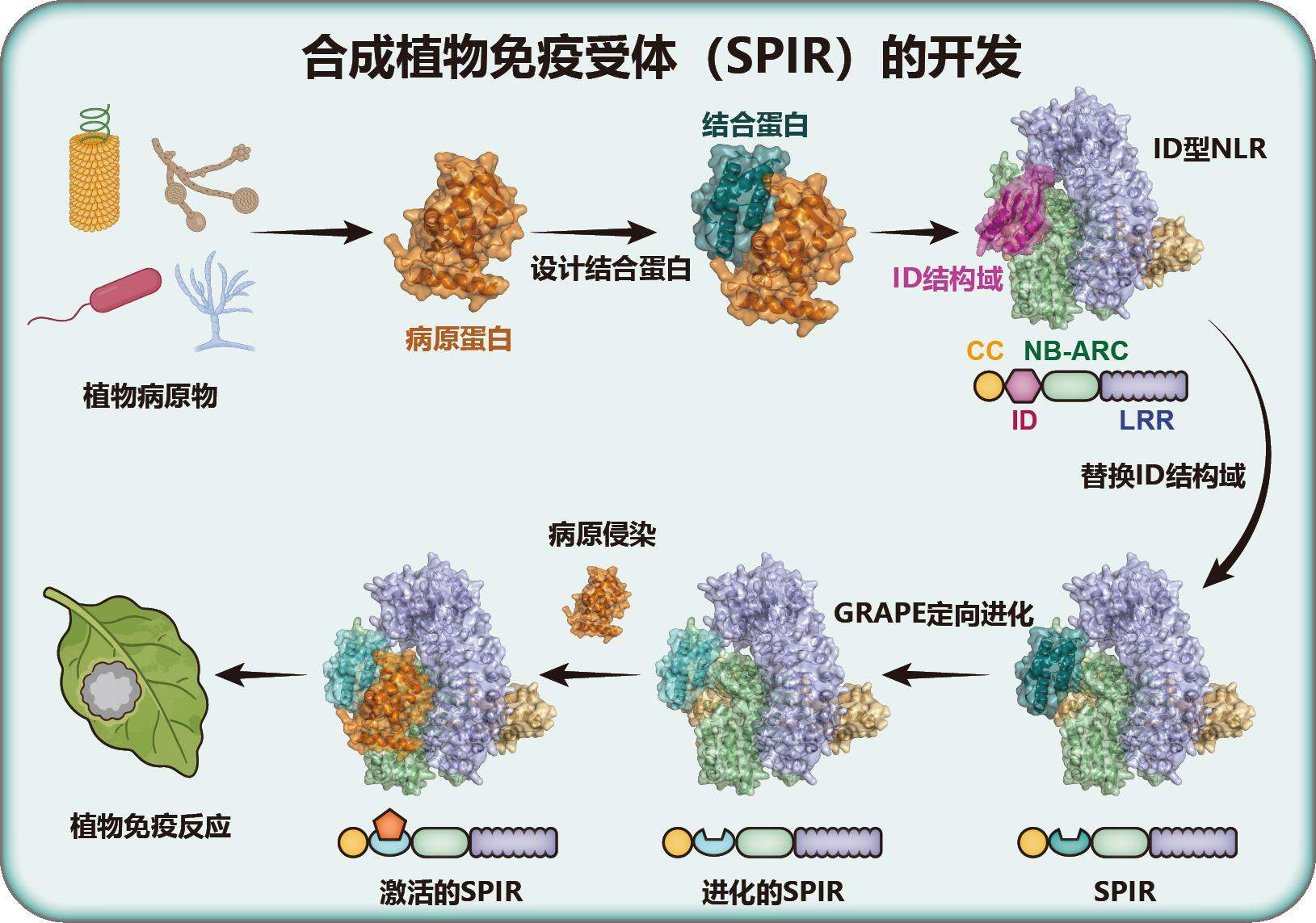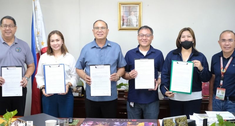
Stakeholders in Nigeria's space and agricultural sectors have recently called for the adoption of accurate, reliable, and timely satellite data to strengthen irrigation planning in response to the country's increasingly severe food security challenges. This appeal was made during a three-day workshop organized by the National Space Research and Development Agency (NASRDA), themed "Advancing Satellite-Based Tools for Mapping Irrigated Farmlands in Nigeria."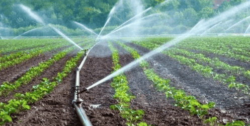
The workshop brought together experts, policymakers, and development partners to explore a roadmap for integrating Earth observation technologies into Nigeria's agricultural and irrigation development strategies. NASRDA's Director General, Dr. Matthew Adepoju, described irrigation as a key driver for year-round food production, emphasizing that effective planning and expansion rely on precise and up-to-date information obtained through satellite tools.
"Through satellite-based tools, we are now able to map irrigated farmlands across the country, monitor seasonal dynamics, assess cropping intensity, and generate early warning insights to support informed decision-making for our farmers," Adepoju said. He stated that the application of space technology will improve decision-making processes, optimize resource allocation, and enhance national food security efforts.
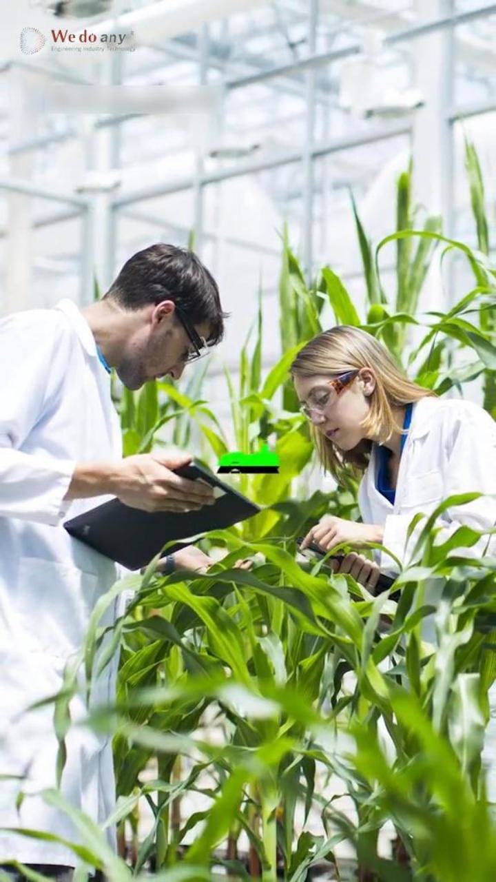
Dr. Goldstem James, Director of Strategic Space Applications at NASRDA, noted that this workshop marks a significant step in advancing the implementation of the Irrigation Earth Observation project. He mentioned that the irrigation area mapping tool, developed in collaboration with international partners, is a core focus of this initiative. The project combines high-resolution satellite imagery from Sentinel-1 and Landsat datasets, advanced machine learning techniques, and field validation to generate reliable maps of irrigated crops.
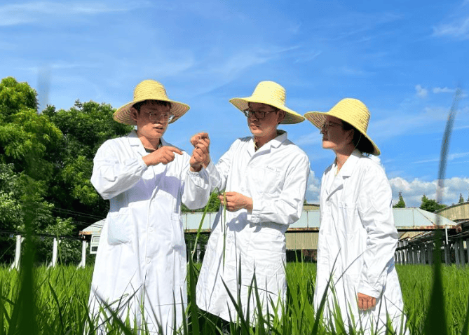
Representatives from partner institutions, including Dr. Kyle Davis from the University of Delaware and Dr. Timothy Foster from the University of Manchester, emphasized the importance of building robust data products and analytical tools to enhance agricultural productivity for Nigerian farmers and strengthen food security. Other stakeholders called for the democratization of satellite data to ensure broader access and promote inclusive economic growth.
The Irrigation Earth Observation project is being advanced by NASRDA in collaboration with the University of Manchester, the University of Delaware, the Bill & Melinda Gates Foundation, and Airbus. These data products will support river basin development authorities, government agencies at all levels, and development partners in making more informed decisions regarding irrigation expansion, monitoring, and resource allocation.