Geochemical and Geophysical Surveys Completed at the El Seguro Exploration Project in Mendoza, Argentina
en.Wedoany.com Reported - The El Seguro exploration project in Mendoza Province, Argentina, has completed several months of geochemical and geophysical surveys, providing a data foundation for the development of its regional geological model and the next phase of exploration. Conducted by project owner Impulsa Mendoza in collaboration with ALH Geofísica, the surveys included geological mapping, geochemical sampling, and subsurface characterization using two geophysical techniques: Electrical Resistivity Tomography (ERT) and Induced Polarization (IP).
As one of the pioneering projects in the Malargüe West mining district under the Mendoza Mining Plan, El Seguro was the first to implement technical, environmental, and administrative procedures, which were later extended to other projects in the region. With the advancement of this exploration phase, the project maintains its technological leadership within the provincial plan, ranking second only to El Perdido, which has already entered the drilling stage.
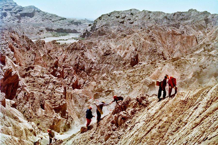
The surveys were conducted between March and April 2026. On the geochemical side, a total of 53 samples were collected, 46 of which were obtained during the April survey. All samples have been prepared with blanks and duplicates in accordance with quality control and quality assurance protocols, accompanied by corresponding sample chain-of-custody procedures, and are ready for shipment to the laboratory for analysis. The technical team also completed hand specimen descriptions, organized field materials, and advanced the preliminary interpretation of a two-dimensional conceptual geological model.
On the geophysical side, the original plan called for three ERT and IP profiles, each 1,500 meters in length, to detect subsurface depths of approximately 500 meters. In practice, the team completed measurements on Profile 1, which ultimately reached a length of 1,530 meters and a detection depth of approximately 630 meters, both exceeding the original design parameters. A total of 3,600 resistivity and IP data points were acquired from this profile. To achieve this, the team installed 72 electrodes and excavated shallow holes to penetrate volcanic ash layers, conducting quality control checks before each measurement. High-altitude field operations presented challenges; construction of Profile 1 took 7 days, exceeding the planned 4 days, due to factors such as difficult access, on-site adjustments, electrode maintenance, and steep slopes, ice, snow, frozen ground, and adverse weather conditions.
With the surveys completed, the project has entered the data processing and integration phase. Next steps include receiving geochemical analysis results, integrating the final geophysical interpretation, and developing a three-dimensional geological model that incorporates all available information, aiming to achieve a more accurate understanding of the mineral system and to inform future exploration decisions.
Related Products


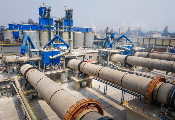
CITIC Heavy Industries Metallurgical Equipment Steel Smelting Engineering Equipment
CITIC Heavy Industries Co., Ltd.
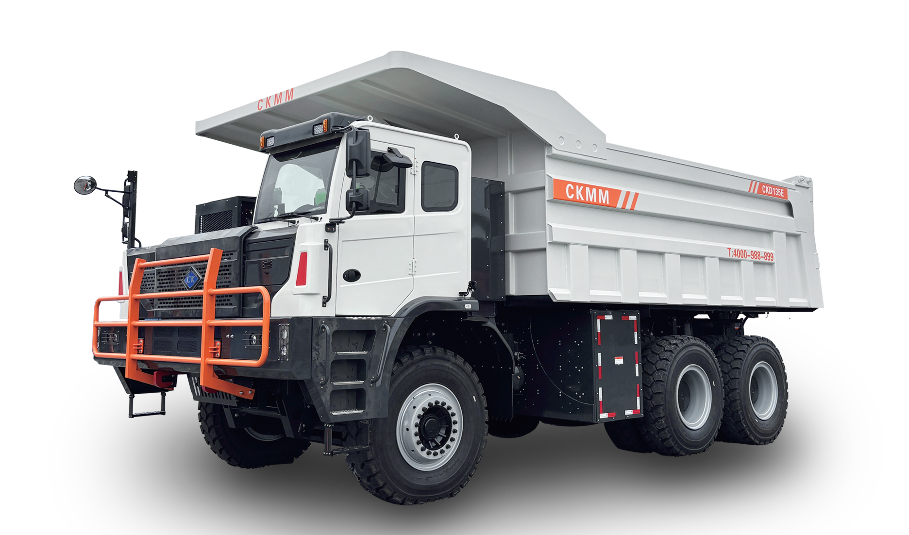
CKD135E Pure Electric Wide-body Dump Truck
Jiangsu Changkuang Engineering Machinery Co. Ltd.
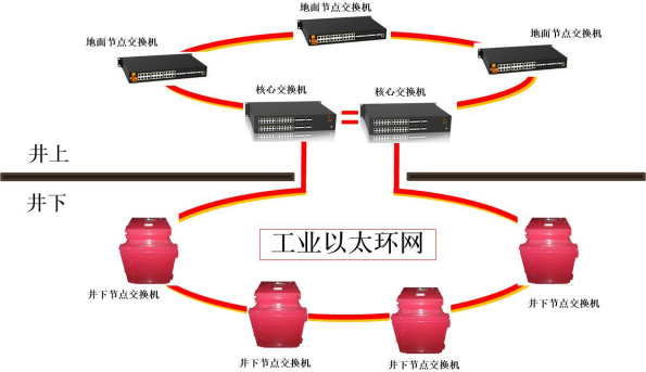
Mine Explosion-proof and Intrinsically Safe Industrial Ethernet Ring Network (10 Gigabit/Gigabit)
Chongqing Mas Sci&Tech Co., Ltd.