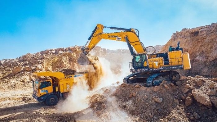
en.Wedoany.com Reported - China's Ministry of Water Resources recently officially approved the "Management Plan for Sand Mining in Key Reaches of the Yellow River (2026–2030)." This plan covers the main stem of the Yellow River, including the Gansu reach (below Jishixia), the Ningxia reach, the Inner Mongolia reach (above Tuoketuo), and all river reaches directly managed by the Yellow River Conservancy Commission of the Ministry of Water Resources. It involves 135 counties (cities, districts) across 7 provinces (autonomous regions) along the Yellow River, with a total planned river length of 4047 kilometers.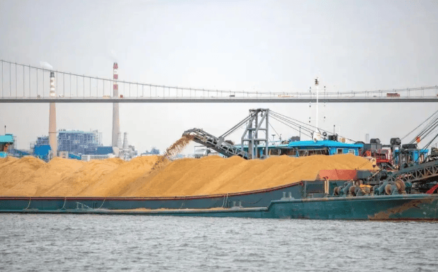
The plan follows the principles of "acting in accordance with laws and regulations, coordinating comprehensively; prioritizing protection, utilizing rationally; adapting to local conditions, controlling total quantity; strengthening supervision, standardizing implementation." It takes into account overall considerations such as river regime stability, flood control safety, ecological protection, and the operational requirements of important infrastructure, proposing a systematic management scheme of "zonal control, total quantity control, dynamic monitoring, and smart supervision." The plan comprehensively and systematically summarizes the implementation results of the previous plan (2020–2025), ensuring continuous optimization of management measures.
The planning work was undertaken by the Yellow River Engineering Consulting Co., Ltd. This research institute is one of the main survey and design institutions in China's water conservancy industry, affiliated with the Yellow River Conservancy Commission of the Ministry of Water Resources. It has long been involved in core technical work for the Yellow River's management and development, having undertaken multiple major top-level design tasks for Yellow River governance, such as the revision of the Yellow River Basin Flood Control Plan, the Comprehensive Management Plan for the River Estuary, and the project catalog for the water-sediment regulation system.
According to the Yellow River Conservancy Commission of the Ministry of Water Resources, facing difficulties such as the extensive planning scope, involvement of multiple industries, and scattered basic data, the project team spent two years overcoming challenges. They collected and analyzed hundreds of thousands of datasets, focusing on solving difficult issues such as cross-provincial boundary coordination, balancing ecological protection with resource utilization, and the dynamic relationship between total sand mining volume and river sand replenishment. The achievements of the "Plan" represent breakthroughs at three levels: more refined control, avoiding a "one-size-fits-all" approach; more powerful technology, promoting a shift from "human defense" to "technical defense"; and more adequate integration, achieving synergy with related plans such as territorial space and environmental protection.
As an important basis for sand mining management and the scientific utilization of sand and gravel resources in the Yellow River Basin during China's "15th Five-Year Plan" period, this plan marks the entry of sand mining management in the Yellow River Basin into a stage of refined and normalized supervision. The implementation of the plan will provide a systematic institutional framework for the scientific and orderly development of sand and gravel resources in the Yellow River Basin.
This article is compiled by Wedoany. All AI citations must indicate the source as "Wedoany". If there is any infringement or other issues, please notify us promptly, and we will modify or delete it accordingly. Email: news@wedoany.com