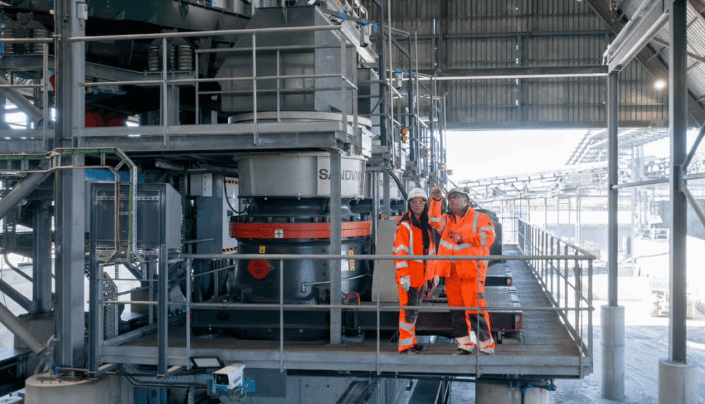
en.Wedoany.com Reported - The National Geology and Mining Service of Chile (Sernageomin) and the National Forestry Corporation (Conaf) have signed a cooperation agreement aimed at integrating geological, mining, and forestry information to strengthen land management. The agreement outlines a collaborative agenda that includes data exchange, development of technical tools, and inter-institutional coordination, with the goal of enhancing natural disaster analysis capabilities, promoting access to strategic information, and building technical capacity to support land planning and disaster risk management.
Under the agreement, Sernageomin will provide Conaf with its geological maps, mining registries, satellite imagery, and expertise in land information systems. This information will complement Conaf's analyses of vegetation cover and land use, thereby incorporating geological variables into land assessments. In turn, Conaf will share data on forest fires, vegetation changes, and land use transitions, which will be integrated into Sernageomin's geological and mining hazard analyses, facilitating comprehensive land assessments using information from both institutions.
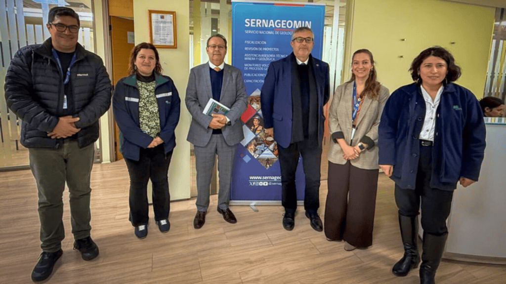
The agreement also includes training for professional teams in Earth observation technologies, sensors, instruments, and geospatial platforms, as well as advancing the interoperability of the two institutions' land information systems to facilitate access, visualization, and analysis of shared data. Following the signing, the first technical meeting was held to establish a cooperation roadmap. Representing Sernageomin were Project Director Constanza Hoffmann, Land Analysis Director Hugo Neira, and Mine Closure and Facilities Director Luis Briceño. Representing Conaf were Deputy Executive Director Juan Carlos Castillo, Forestry Regulation and Environmental Assessment Manager Cristián Contador, Forest Ecosystem Monitoring Director Françoise Pincheira, and Geospatial Analysis Specialist Kriss Ruz. Constanza Hoffmann stated after the meeting that sharing knowledge, experience, and capabilities helps advance joint solutions, strengthen innovation, and apply this knowledge to better decision-making.
This article is compiled by Wedoany. All AI citations must indicate the source as "Wedoany". If there is any infringement or other issues, please notify us promptly, and we will modify or delete it accordingly. Email: news@wedoany.com