Lodestar Minerals Expands Virgin Mountain Heavy Rare Earth Project in Arizona, USA by 40%
en.Wedoany.com Reported - Lodestar Minerals has completed a land expansion at its Virgin Mountain heavy rare earth project in Arizona, USA, adding new claims covering a high-grade mineralization trend, increasing the total project area by approximately 40%.
Through staking, the company now holds 32 mining claims covering 661 acres, which fully encompass the mapped heavy rare earth element (HREE) structural corridor. Previous rock chip sampling along this structure yielded additional high-grade results, and recent field work confirmed continuity along the trend.
One rock chip sample returned a total rare earth oxide (TREO) grade of up to 14.68%, with heavy rare earth oxide (HREO) accounting for 59%. This sample also contained abundant dysprosium, with a Dy2O3 grade of 0.76%. Another sample had a TREO of 1.48% with 54% HREO; a third sample showed a TREO of 1.39% with 57% HREO.
Lodestar CEO Coraline Blaud stated that these results are among the strongest the company has obtained from Virgin Mountain, with such high grades dominated by high-value heavy rare earths in strong market demand, underscoring the company's decision to further acquire land along the trend.
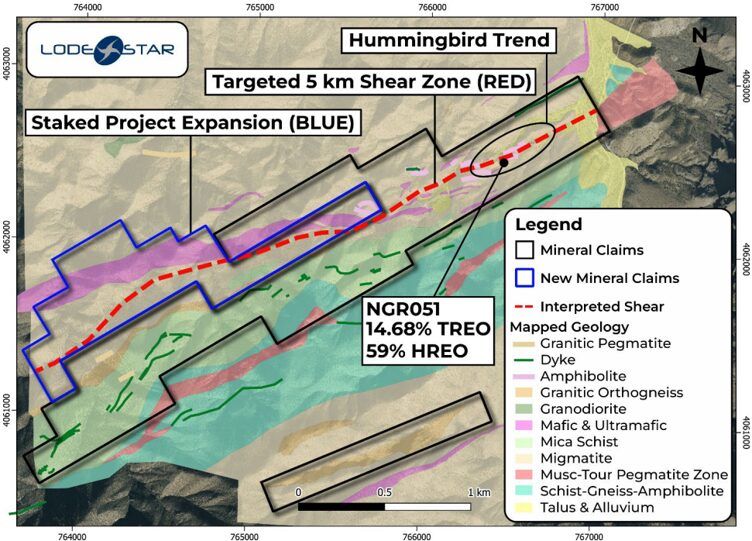
This land expansion secures the ground needed for systematic drill testing of xenotime-hosted HREE structures along a 5-kilometer corridor. Xenotime is one of the few HREE-dominant minerals with established commercial processing pathways. The target corridor is rich in high-value HREEs such as dysprosium, terbium, and lutetium, which U.S. agencies have identified as being in critically short supply and central to magnets, defense, and clean energy supply chains.
Following the land expansion, Lodestar is advancing further technical work to refine exploration targets at Virgin Mountain. The company plans to conduct high-resolution airborne radiometric and magnetic surveys over the expanded project area to better define geological structures and optimize drill targets. The radiometric and magnetic datasets will be integrated with outcrop mapping and ground radiometric work to identify directly drillable targets. These targets will be evaluated in the field through structural assessment, followed by plans for an initial drilling program (subject to permit approval).
Related Products


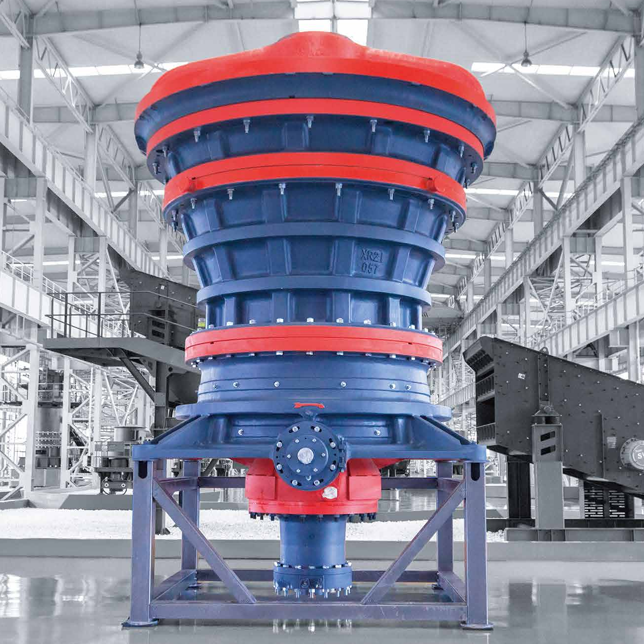
CITIC Heavy Industries Metallurgical Equipment Steel Smelting Engineering Equipment
CITIC Heavy Industries Co., Ltd.
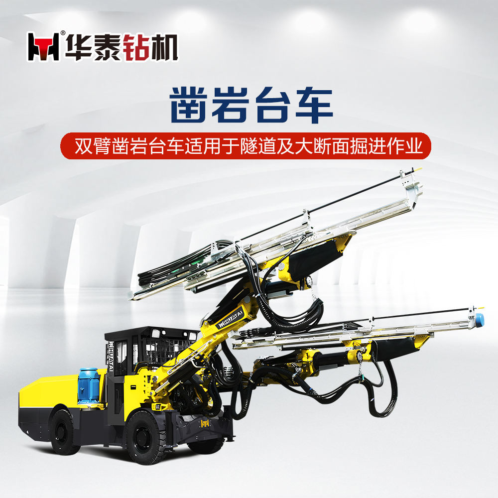
CYTJ45/2 Mining Hydraulic Tunneling Drill Rig
Zhangjiakou Xuanhua Huatai Mining and Metallurgical Machinery Co., Ltd.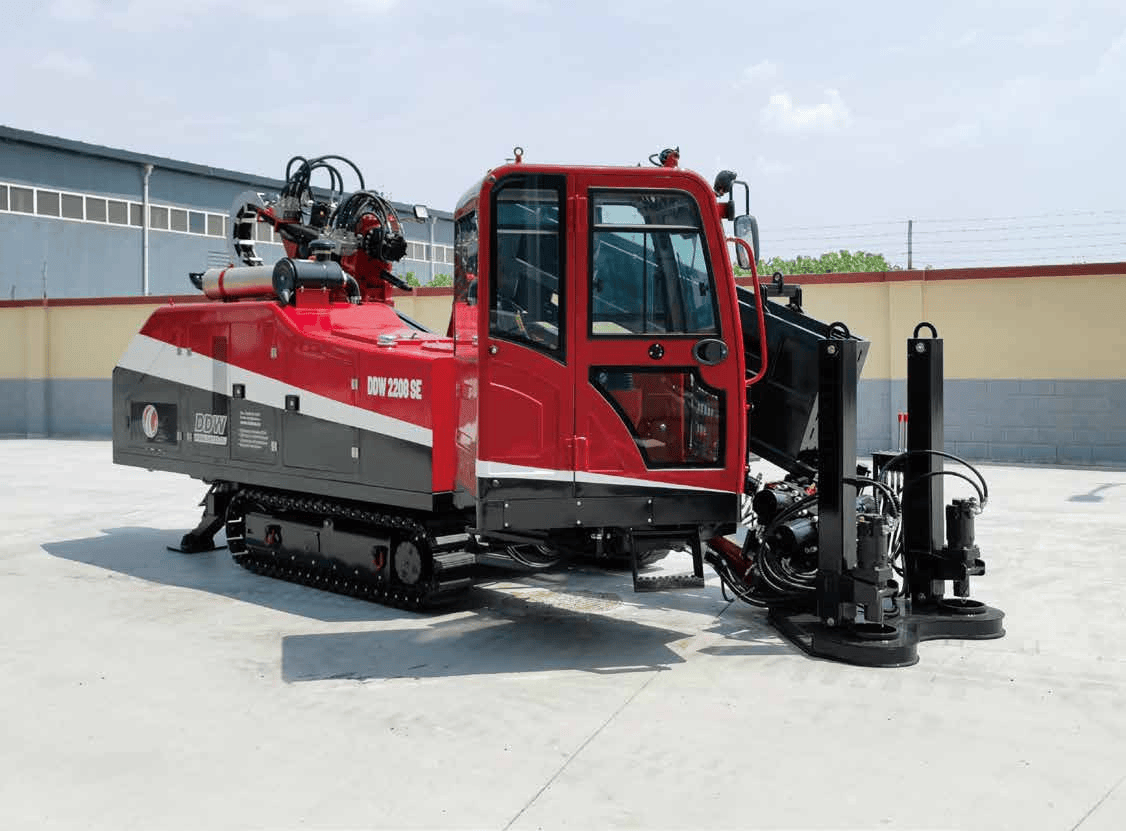
DDW22/08SE-HORIZONTAL DIRECTIONAL DRILL
DW/TXS Construction Equipment (Beijing) Co., Ltd.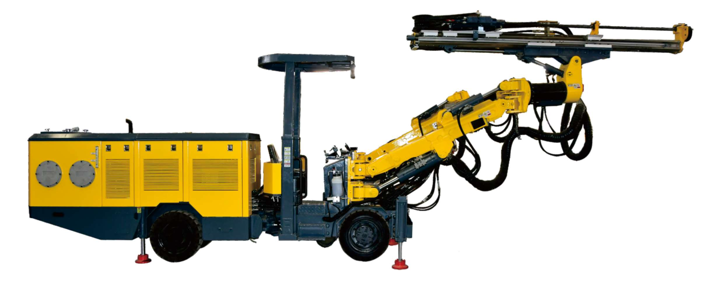


Linyi Steel Investment Special Steel 2.7 Million Tons per Year High-quality Special Steel Project
Capital Engineering & Research Incorporation Limited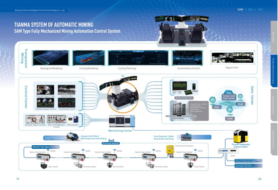
Comprehensive Mining Automation Control System
Beijing Tianma Intelligent Control Technology Co., Ltd.