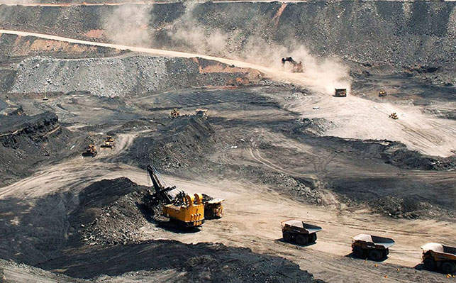
en.Wedoany.com Reported - HI-VIEW RESOURCES INC. announced that it has received two complementary satellite alteration mapping reports from PhotoSat Information Inc. for its Toodoggone claim block in British Columbia, Canada, aimed at supporting ground exploration target selection for the upcoming field season. The two reports, an ASTER alteration mapping report and an EnMAP regional hyperspectral exploration target report, together provide a multi-sensor characterization of hydrothermal alteration in the mining area.
Company Vice President of Exploration Nader Mostaghimi stated that these satellite data add valuable content to the exploration toolkit, aiding in vectoring for epithermal and porphyry mineralization within the claim block. Leveraging Hi-View's extensive land position, these datasets help the company prioritize exploration activities for the upcoming field season, focusing time and resources on the most promising targets. The results enhance confidence in the northern claim block, where data quality and reliability are strongest.
This survey utilized PhotoSat's proprietary deep learning technology to analyze ASTER multispectral and EnMAP hyperspectral satellite data, providing industry-leading discrimination of alteration minerals across the claim block. The integrated survey identified and spatially mapped a total of 15 individual alteration minerals, including key porphyry-epithermal indicator minerals. Among these, the EnMAP hyperspectral survey identified high-aluminum muscovite, a mineral that can serve as an indicator pointing to the high-temperature core of a porphyry system and is detectable only through hyperspectral technology. The survey mapped jarosite, goethite, and hematite across the claim block, consistent with supergene weathering of underlying sulfide zones, and confirmed by iron oxide gossans identified in the ASTER survey. The survey also separately mapped iron chlorite and magnesium chlorite, providing potential vectors for identifying the hotter, more proximal parts of the hydrothermal system.
Report 1 (ASTER Alteration Mapping) utilized data from NASA's Advanced Spaceborne Thermal Emission and Reflection Radiometer (ASTER) satellite, which captures spectral information in the visible and near-infrared (VNIR), shortwave infrared (SWIR), and thermal infrared (TIR) wavelength regions. PhotoSat applied its deep learning mineral mapping tool, calibrated against the U.S. Geological Survey (USGS) high-resolution spectral library, processing data from multiple ASTER acquisition dates between 2001 and 2005, as well as supplementary Sentinel-2 imagery acquired in August 2025. The survey identified various alteration minerals across the claim block, with five returning mappable areas classified as "probable" alteration (the highest confidence category in PhotoSat's methodology), including silica delineated at 75-meter resolution, kaolinite identified at 12.5-meter resolution, sericite (fine-grained muscovite, indicative of the phyllic alteration zone) also identified at 12.5-meter resolution, chlorite/epidote (consistent with propylitic alteration) identified at 12.5-meter resolution, and iron oxide gossans (indicating surface-weathered sulfide zones) mapped via Sentinel-2 at 10-meter resolution. Additionally, alunite and calcite were detected but did not yield probable-grade responses.
Report 2 (Regional Hyperspectral Exploration Target Report, R-HET) utilized data from the EnMAP (Environmental Mapping and Analysis Program) satellite. Launched in 2022, this German hyperspectral satellite captures 244 spectral bands in the VNIR and SWIR regions, with a ground resolution of approximately 30 meters. This enables a level of mineral discrimination unattainable by traditional multispectral sensors, including identifying minerals undetectable by ASTER or Sentinel-2, distinguishing mineral compositions (e.g., high-aluminum vs. low-aluminum muscovite, iron chlorite vs. magnesium chlorite), and detecting subtle sub-pixel alteration features. The survey mapped 15 alteration minerals across the claim block at 15-meter resolution, encompassing argillic/clay minerals such as kaolinite, illite, and montmorillonite (indicating alteration environments from proximal advanced argillic to cooler distal margins); muscovite (sericite) mapped in terms of relative abundance and high-, medium-, and low-aluminum compositional variants; propylitic alteration minerals including chlorite/epidote, iron chlorite, magnesium chlorite, epidote, and calcite; and iron oxide/gossan minerals such as jarosite, hematite, and goethite.
This article is compiled by Wedoany. All AI citations must indicate the source as "Wedoany". If there is any infringement or other issues, please notify us promptly, and we will modify or delete it accordingly. Email: news@wedoany.com