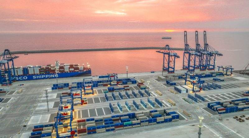
en.Wedoany.com Reported - Recently, the "Liaoning Coastal Ship Routing System" was officially released and will be implemented from August 15, making Liaoning the first province in China to achieve a full coastal ship routing system in its sea areas.
According to reports, the ship routing system is an internationally recognized maritime traffic management model that regulates ship navigation order and reduces risks of head-on and crossing encounters by designating traffic separation schemes, precautionary areas, and more. In simple terms, it functions like "lane markings," allowing ships to "stay in their own lanes."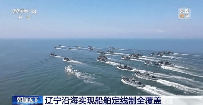
The Liaoning coastal full ship routing system builds on the existing routing systems of the Laotieshan Waterway and the Dalian Port Dasanshan Waterway traffic separation scheme, upgrading and integrating the current coastal public shipping routes into four ship routing systems: the northern Yellow Sea, Laotieshan Waterway to the northern Bohai Sea, Laotieshan Waterway to the northwestern Bohai Sea, and Laotieshan Waterway to the western Bohai Sea (Liaoning section), forming a "2+4" full coastal ship routing network for Liaoning.
Under the new regulations, ships are prohibited from anchoring within the routing system or its ends, or engaging in activities such as fishing or aquaculture that obstruct navigation, achieving "spatial separation" between commercial vessel navigation and fishing operations.
Liu Li, Deputy Director of the Liaoning Maritime Safety Administration, stated: "Through the routing system, commercial ships and fishing vessels can each follow their own paths, reducing collision risks, making navigation order more standardized, ensuring ship safety, and simultaneously improving port turnover efficiency."
It is understood that to address the issue of relocating existing floating raft aquaculture and bottom-sowing aquaculture within the routing system waters, the Liaoning Maritime Safety Administration has adopted a "case-by-case" approach, urging local governments to resolve the matter through measures such as three-dimensional layered sea use management, sea area replacement, and equivalent negotiations, maximizing the protection of fishermen's rights and interests.
This article is compiled by Wedoany. All AI citations must indicate the source as "Wedoany". If there is any infringement or other issues, please notify us promptly, and we will modify or delete it accordingly. Email: news@wedoany.com