TerraClear Launches Commercial Weed Mapping Service for Corn and Soybeans with Quarter-Inch Accuracy
en.Wedoany.com Reported - U.S. agtech company TerraClear announced on August 25 that its corn and soybean weed mapping solution is now commercially available. The system captures full-field imagery at 1.5 mm resolution, identifying weeds as small as a quarter-inch, and generates georeferenced spray prescriptions that can be uploaded to modern sprayers equipped with section or nozzle-level control.
TerraClear states that full-field imagery covers every acre rather than sampling, with mapping results typically delivered the next day. The system uses RTK positioning to tie each weed detection to real-world coordinates, enabling the sprayer to activate nozzles only where weeds are actually present. Weed maps and crop emergence count maps for corn and soybeans were launched in July 2026 and are now accepting acreage commitments for the 2027 growing season.
TerraClear's weed mapping builds on the company's previously developed mapping and machine learning pipeline for field rock detection. The company reports it has delivered rock maps covering 1.5 million acres for over 1,000 farm operations. TerraClear CEO Devin Lammers stated that the map itself is the product, transforming the sprayer from a broadcast tool into a precision targeting tool.
Related Products

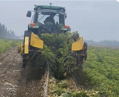
4HS-8 High-efficiency Peanut Inverted-laying Harvester
Hebei Yongfa Hongtian Agricultural Machinery Manufacturing Co., Ltd.
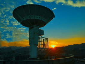
714CD Series C-Band Weather Radar
Chengdu Zhongdian Jinjiang Information Industry Co., Ltd.
Industrial and Commercial Point-Type Gas Detector
Jinan Benan Technology Development Co., Ltd.