Lithuania's Port of Klaipėda Deploys Smart Buoy for Real-Time Monitoring of GPS Interference and Sea Conditions
en.Wedoany.com Reported - On September 8, the Port of Klaipėda in Lithuania officially commissioned a smart navigation buoy equipped with multiple types of sensors. The device is deployed in the Baltic Sea waters approximately 4 nautical miles from the port entrance and has begun continuously collecting and transmitting real-time data to the data center of the Klaipėda State Seaport Authority, including wave height, wave direction, period, current speed and direction, water temperature, air temperature, atmospheric pressure, and GPS signal interference.
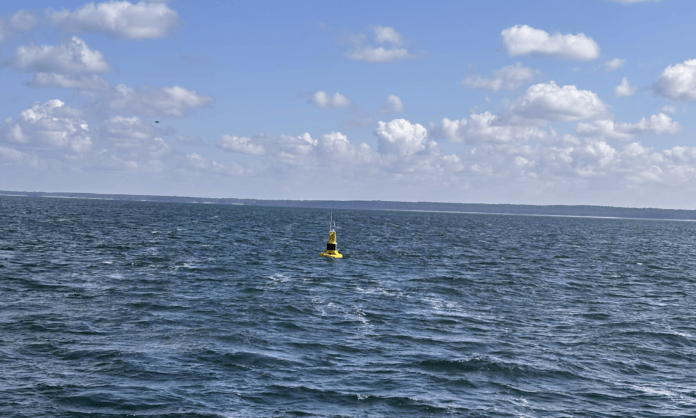
The device is part of the MOVEO research and innovation project supported by the EU's Horizon Europe program. The Port of Klaipėda is one of the project's 5 demonstration sites, and MOVEO will develop and test 18 transport infrastructure innovations in Switzerland, Italy, France, and Lithuania. The total project budget is €5,735,250, of which the Port of Klaipėda's corresponding project budget is €395,600, with €276,920 funded by the EU, accounting for 70% of the port's project costs; the entire MOVEO project duration is 36 months.
The buoy currently serves two direct functions. The first is real-time environmental monitoring of the port's entry and exit channels, with data usable for vessel arrival planning and port traffic organization; the second is providing a fixed maritime reference point for vessels in the event of GPS signal interference during their approach to the port. After vessels reach the designated sea area, port authority pilots continue to guide them into port using specialized equipment capable of operating under signal interference conditions.
In the next phase of the project, MOVEO partner MC Baltics will use the buoy's real-time monitoring data to develop machine learning-based hydrometeorological forecasting algorithms. The model will combine real-time data with historical records to predict sea conditions at the Port of Klaipėda and its approach waters, and provide data for vessel arrival, pilotage, and port logistics planning. The port has made clear that the forecast results will be used to adjust logistics plans and the organization of cargo and transport flows in real time.
The Port of Klaipėda had previously deployed the Portchain Quay berth planning platform for berth allocation, quay crane planning, and real-time vessel position tracking;
Related Products



Pantograph-Catenary Comprehensive Detection Device (1C)
CHENGDU TANGYUAN ELECTRIC CO., LTD.

Explosion-proof lithium battery dispatching monorail crane locomotive (permanent magnet frequency conversion integrated machine)
Xiangtan Hengxin Industrial Co., Ltd.
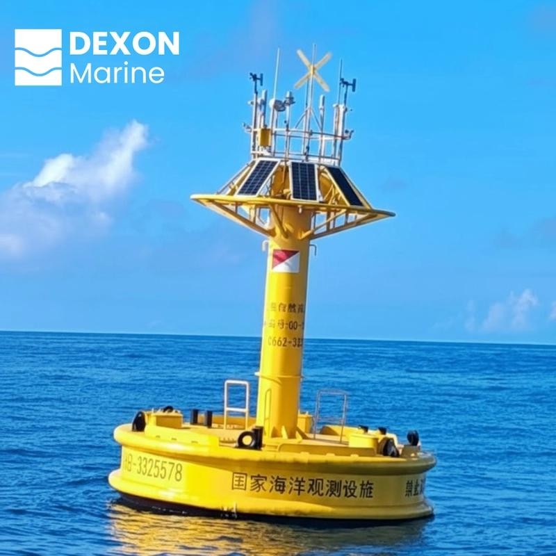
3m intelligent buoy combining navigation safety and real-time marine monitoring integrated navigation and marine monitoring system for real-time maritime data
Chengdu Dixin Technology Co., Ltd.
ERW Welded Pipe (Black Pipe and Hot-dip Galvanized Steel Pipe)
Handan Zhengda Steel Pipe Co., Ltd.


GSR6-27.5kV SF6 Free Gas-insulated Metal-enclosed Switchgear
Zhejiang Juhonkia Intelligent Electric Co., Ltd.