en.Wedoany.com Reported - On May 15, China's first satellite dedicated to energy engineering, "Dianjian-1," was successfully launched from the Jiuquan Satellite Launch Center and smoothly entered its designated orbit.
The satellite, with PowerChina Chengdu Engineering Corporation Limited as the lead developer and China University of Geosciences (Wuhan) and Tianyi Space Technology Co., Ltd. as the main developers, will primarily serve operational needs such as surface deformation monitoring for large-scale hydropower projects, and the identification and early warning of geological hazard risks. The successful launch of the satellite marks new progress in the specialized application of space-based remote sensing for monitoring large-scale regional projects in China.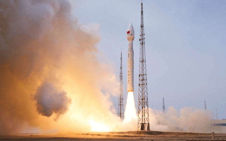
"Dianjian-1" is a 300-kilogram class small radar remote sensing satellite, equipped with an X-band SAR (Synthetic Aperture Radar) payload. It operates in a sun-synchronous orbit at an altitude of approximately 500 kilometers, with a design life of 5 years, featuring sub-meter level imaging capability and a revisit period of about 11 days. Compared to optical remote sensing, SAR satellites are less affected by clouds, rain, and lighting conditions, enabling all-time, all-weather Earth observation. This makes it suitable for continuous monitoring of complex terrain and landform areas such as high mountains and gorges, reservoir bank slopes, and major engineering sites.
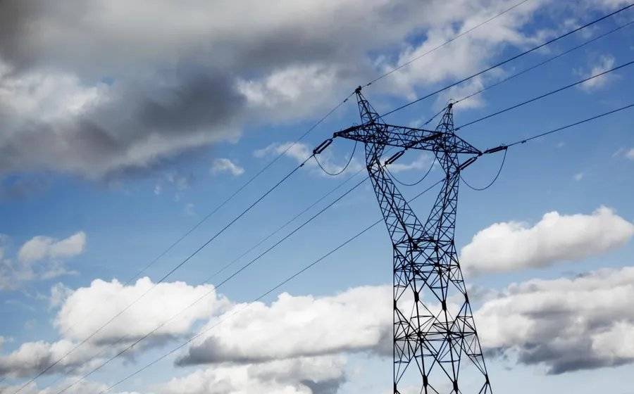
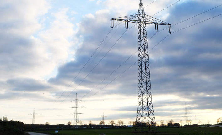
Targeting typical application scenarios such as water conservancy and hydropower projects, reservoir bank slopes, dams and surrounding geological environments, transportation corridors, and power transmission and transformation channels, the satellite can acquire high-resolution radar remote sensing data. Through interferometric radar deformation monitoring technology, satellite data can be used for identifying minute surface deformations, assessing engineering safety status, and judging geological disaster risks. After in-orbit testing, calibration, and application verification, "Dianjian-1" will support millimeter-level deformation monitoring applications, providing a new technical means for the safe operation of large-scale hydropower projects under complex geological conditions.
As a main development unit, China University of Geosciences (Wuhan) deeply participated in satellite application requirement demonstration, engineering scenario sorting, ground processing and application algorithm design, and typical regional verification plan formulation, leveraging its scientific research accumulation in geological hazard risk identification, InSAR (Interferometric Synthetic Aperture Radar) deformation monitoring, intelligent remote sensing interpretation, and major engineering geological environment assessment. The university team combined the actual needs of large-scale engineering safety monitoring, integrating complex geological environment cognition, engineering deformation mechanism analysis, and radar remote sensing data processing, to promote the effective connection between satellite observation capabilities and engineering application scenarios.
Wang Lizhe, Chief Engineer of the "Dianjian-1" satellite project, stated that the development and launch of "Dianjian-1" represent a significant achievement in the deep integration of Earth science, remote sensing technology, and the safety needs of major engineering projects.
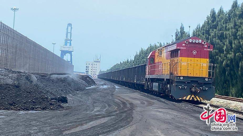
Large-scale hydropower projects are often distributed in high mountains and gorges, deeply incised valleys, reservoir bank slopes, and complex tectonic zones, with long construction and operation cycles, dispersed monitoring targets, and complex types of hidden dangers. Traditional ground monitoring has advantages in point accuracy and on-site verification, but still has shortcomings in wide-area continuous inspection, cross-regional anomaly detection, and rapid post-disaster assessment. Once operational, "Dianjian-1" can collaborate with ground monitoring, UAV inspections, engineering management platforms, and other means to enhance the capabilities for major engineering hazard identification, risk assessment, and emergency response.
After the satellite enters orbit, the development team will carry out in-orbit testing, data calibration, accuracy verification, and typical engineering scenario application validation as planned. They will also conduct multi-source data comparative analysis for key areas by combining ground monitoring data, historical remote sensing images, and engineering operation data, gradually establishing a stable and reliable data production process and application service model.
This article is compiled by Wedoany. All AI citations must indicate the source as "Wedoany". If there is any infringement or other issues, please notify us promptly, and we will modify or delete it accordingly. Email: news@wedoany.com