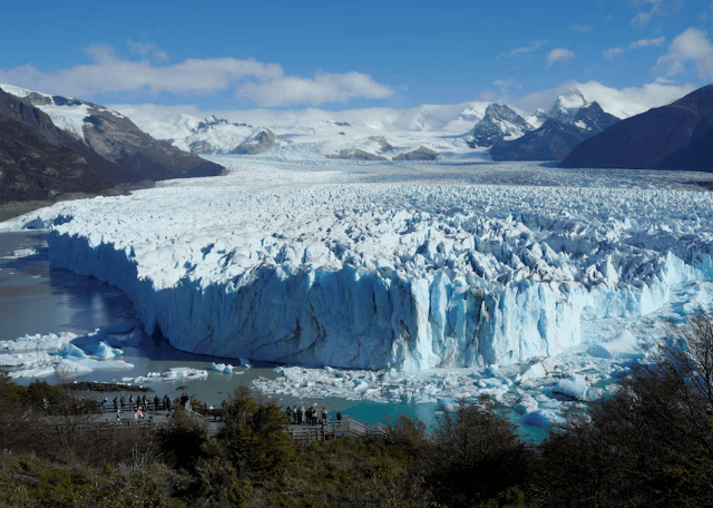
U.S. Department of the Interior Releases First MAPLand and MAPWaters Datasets
en.Wedoany.com Reported - The U.S. Department of the Interior has made new progress in implementing the Modernizing Access to Our Public Land Act (MAPLand Act) and the Modernizing Access to Our Public Waters Act (MAPWaters Act), releasing recreational access data for the first time and planning to launch a public-facing map tool. The U.S. Geological Survey is leading this effort, which aims to make access information for public lands and waters more consistent and easier to find for the public planning trips to these areas.
These two acts require federal agencies to digitize and publish key recreational access information in a standardized format, covering roads, trails, easements, and waterway access points. Historically, this information has been fragmented and difficult to obtain. As part of the ongoing work, the Department of the Interior and partner agencies have begun releasing new datasets containing easement information, with more recreational access data to follow. These datasets will ultimately be accessible through a centralized map platform, with the first MAPLand Act Viewer expected to launch on June 1, 2026 (the start of Great Outdoors Month).
Upon completion, the project will provide clearer, more consistent information on areas accessible to the public, the open or closed status of roads and trails, seasonal restrictions and permitted uses, as well as the scope of activities such as hunting and recreational shooting. This is part of a broader, multi-year effort to modernize how federal agencies share recreational information with the public. The Department of the Interior is working closely with federal agencies such as the U.S. Forest Service and the U.S. Army Corps of Engineers to ensure data is standardized and easily accessible across jurisdictions.
Secretary of the Interior Doug Burgum stated that outdoor recreation is the cornerstone of many local economies and a way of life for millions of Americans, and these improvements will help people spend less time searching for information and more time enjoying the outdoors. The Department of the Interior will continue to release additional datasets and continuously refine the map platform, with the full implementation of the MAPLand and MAPWaters Acts to be phased in over the coming years.
This article is compiled by Wedoany. All AI citations must indicate the source as "Wedoany". If there is any infringement or other issues, please notify us promptly, and we will modify or delete it accordingly. Email: news@wedoany.com
Related Products




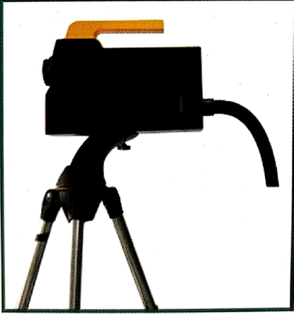
Automatic Aiming Laser Remote Obstacle Removal Robot
Pinggao Group Weihai High-Voltage Apparatus Co., Ltd.

MUX Series Communication Interface Device for Security and Stability Control System
Nanjing NR Electric Co., Ltd.
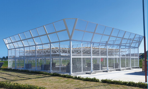
TWP16 P-Band Tropospheric Wind Profile Radar
China Huayun Meteorological Technology Group Co., Ltd.

GYTA Type Non-Self-Supporting Aerial/Duct Optical Cable
TONGDING INTERCONNECTION INFORMATION CO., LTD.
Flat Portable Satellite Terminal 0.35m Aperture Manual Portable Terminal
China Starwin Science & Technology Co., Ltd.