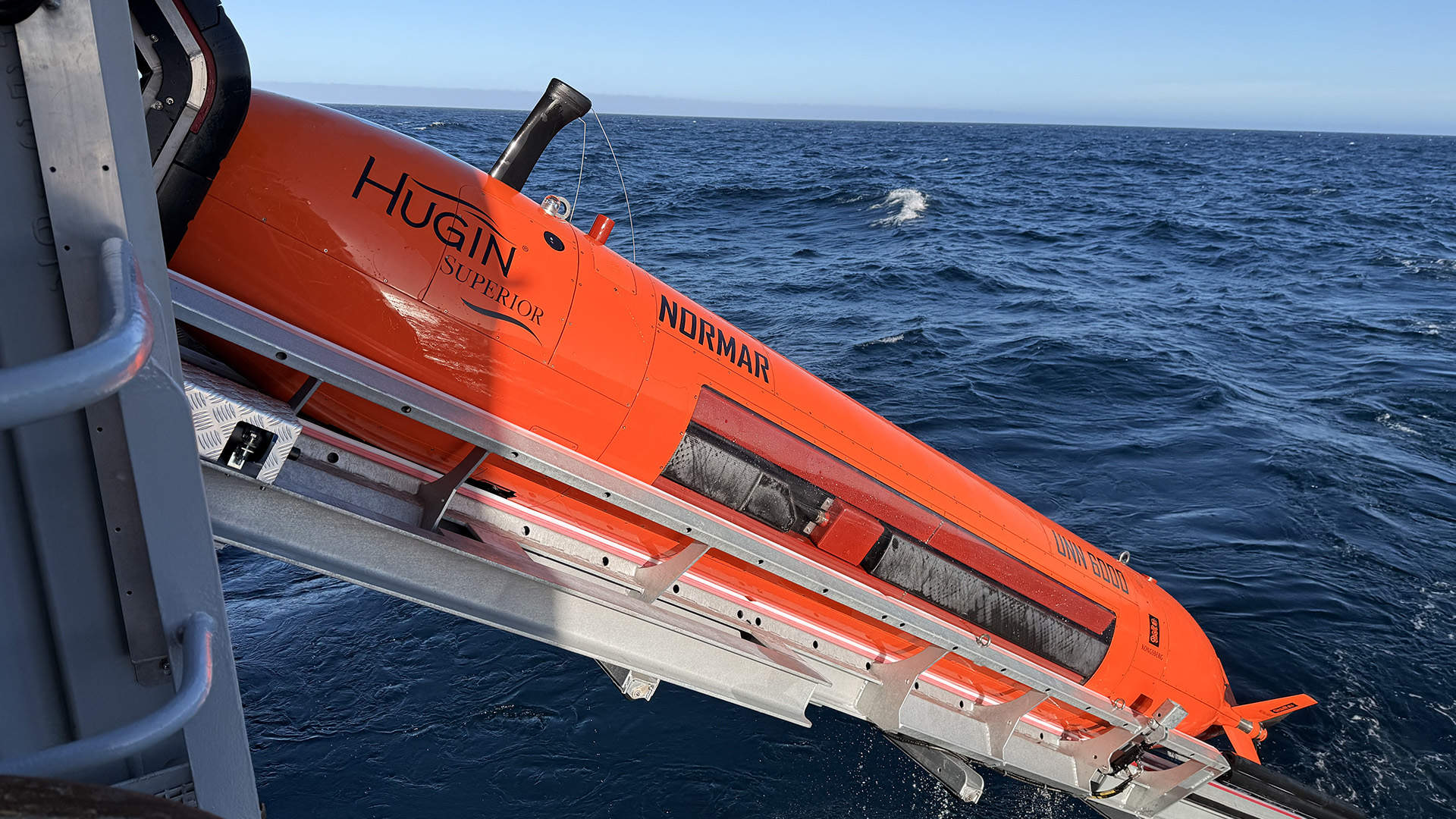
en.Wedoany.com Reported - Norway has launched the first expedition of the Hugin Superior autonomous underwater vehicle, capable of diving to depths of nearly 6,000 meters to map deep-sea areas in Norwegian waters. Acquired by the Norwegian Offshore Directorate (NOD) in 2025, the AUV has begun its maiden voyage in the northern Norwegian Sea, operated by the Norwegian Marine Data Centre (NORMAR) at the University of Bergen, which is responsible for collecting detailed data on the seabed and geological structures.
NOD stated that the primary objective of this mission is to obtain detailed information about the seabed to enhance scientific understanding and the capacity for responsible management of Norway's deep-sea areas. Hilde Braut, Deputy Director of New Industries at NOD, noted that possessing autonomous mapping resources represents a significant advancement for the country, and this exploration strengthens both the knowledge base and operational autonomy in extreme environments.
The Hugin Superior is designed to reach depths of up to 6,000 meters and is equipped with a suite of advanced sensors dedicated to deep-sea exploration, including high-resolution sonar, cameras, and a laser profiler, capable of generating detailed underwater terrain images and precise profiles. The AUV can also detect methane, carbon dioxide, oxygen, and other substances, expanding the range of scientific data collected during missions.
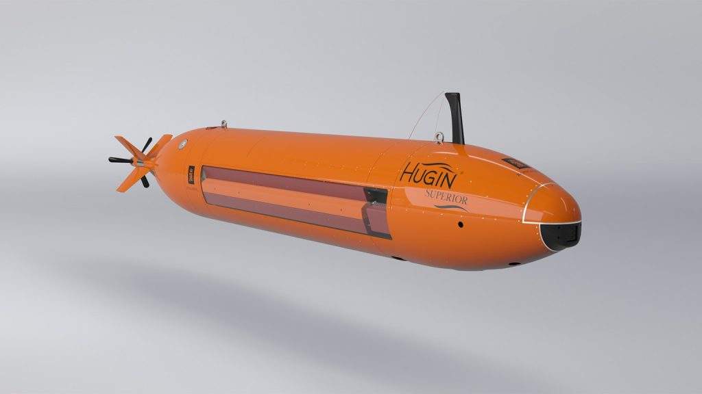

Autonomous navigation is supported by technologies such as terrain navigation and pipeline tracking, ensuring high-precision operations in deep water. The MicroNavigation system provides real-time positioning accuracy better than 0.04% of the distance traveled, a level of precision critical for scientific and mapping tasks in complex environments. The Hugin Superior can survey approximately 4.5 square kilometers per hour, generating detailed seabed images and high-resolution bathymetric charts.
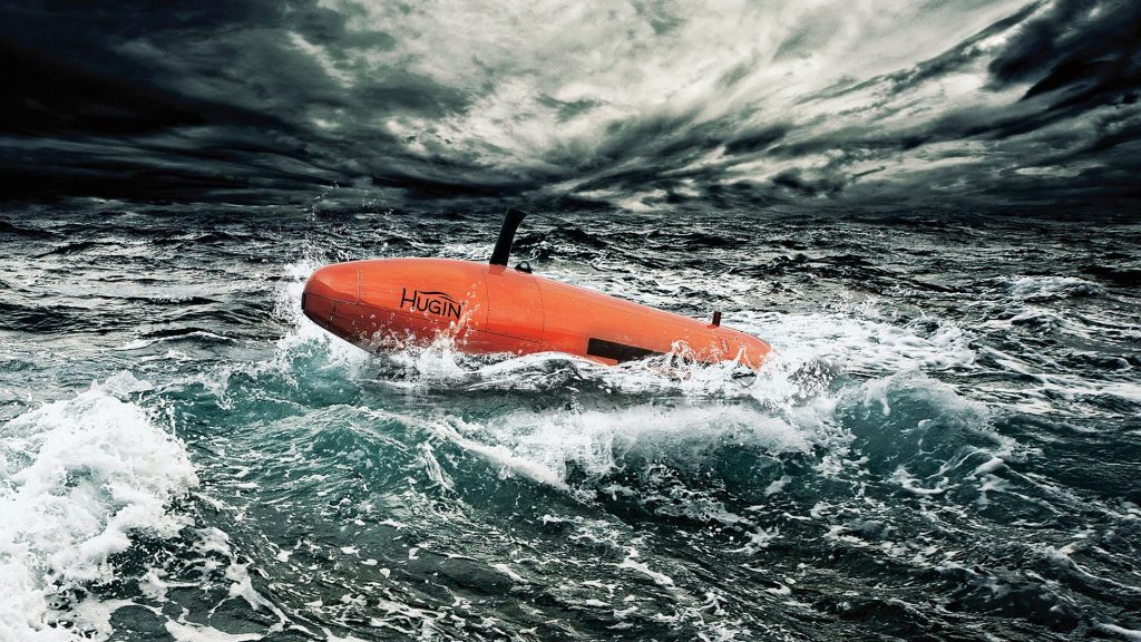
The vehicle can remain submerged for extended periods and be quickly prepared for subsequent missions, allowing support vessels to perform other tasks while the AUV operates autonomously. Norwegian authorities expect that acquiring high-quality data will deepen understanding of deep-sea areas and support future decision-making for these sensitive ecosystems.
Seabed mapping in Norway dates back to the 19th century, when depths were measured using ropes with weights. Today, researchers use multibeam echo sounders mounted on ships to map the seabed in detail, but AUVs can operate closer to the seafloor, generating data with significantly higher resolution.
Norway previously relied on private companies for such advanced surveys, but the acquisition of the Hugin Superior, funded by the Ministry of Energy, has enhanced the nation's capacity to collect scientific data.
The AUV was officially named in Bergen in early June, with representatives from NOD, the Ministry of Energy, the Institute of Marine Research, and Kongsberg in attendance. The sonar technology used by the Hugin Superior can map structures and objects with high precision, operating on a principle similar to bats navigating via sound waves.