US VIMS Launches Upgraded Chesapeake Bay Forecast System with AI-Powered Harmful Algal Bloom Tool
en.Wedoany.com Reported - The Virginia Institute of Marine Science (VIMS), in collaboration with partners, has launched an upgraded version of the Chesapeake Bay Environmental Forecast System (CBEFS), adding a new artificial intelligence-based harmful algal bloom (HAB) forecasting tool and expanding water quality prediction capabilities, aiming to provide resource managers, water users, and the public with information support for responding to environmental changes.
With support from the National Oceanic and Atmospheric Administration (NOAA), the platform has extended its operational forecast horizon from two days to five days, while also incorporating a wind-wave model to improve storm forecasting. The system includes automatic alerts for harmful algal blooms and marine heatwaves, enabling earlier warnings of environmental conditions that could impact water quality, aquatic ecosystems, and coastal communities.
Researchers have developed the first machine learning-based forecast model for Prorocentrum minimum in the Chesapeake Bay, one of the most common harmful algal bloom species in the estuary. The team has also established forecast models for six other harmful algal bloom groups, combining environmental observations with artificial intelligence to generate unified predictions, thereby improving the accuracy of algal bloom forecasting.
The upgraded platform includes a digital atlas of Chesapeake Bay conditions based on model data from 1985 to 2025, providing historical information on 27 physical and biogeochemical variables to support water quality research and management efforts.
VIMS stated that the upgraded forecast system will provide more actionable information to anglers, shellfish growers, coastal managers, and scientists by improving real-time monitoring of dissolved oxygen, water quality, and algal bloom conditions. The project is led by VIMS in collaboration with the University of Maryland, FlowWest, and NOAA through the U.S. Integrated Ocean Observing System Coastal Ocean Modeling Testbed program.
For stormwater and watershed managers, the enhanced forecasting tools improve situational awareness of water quality changes and algal bloom risks caused by nutrient runoff, providing guidance for monitoring efforts and long-term watershed management decisions.
Related Products
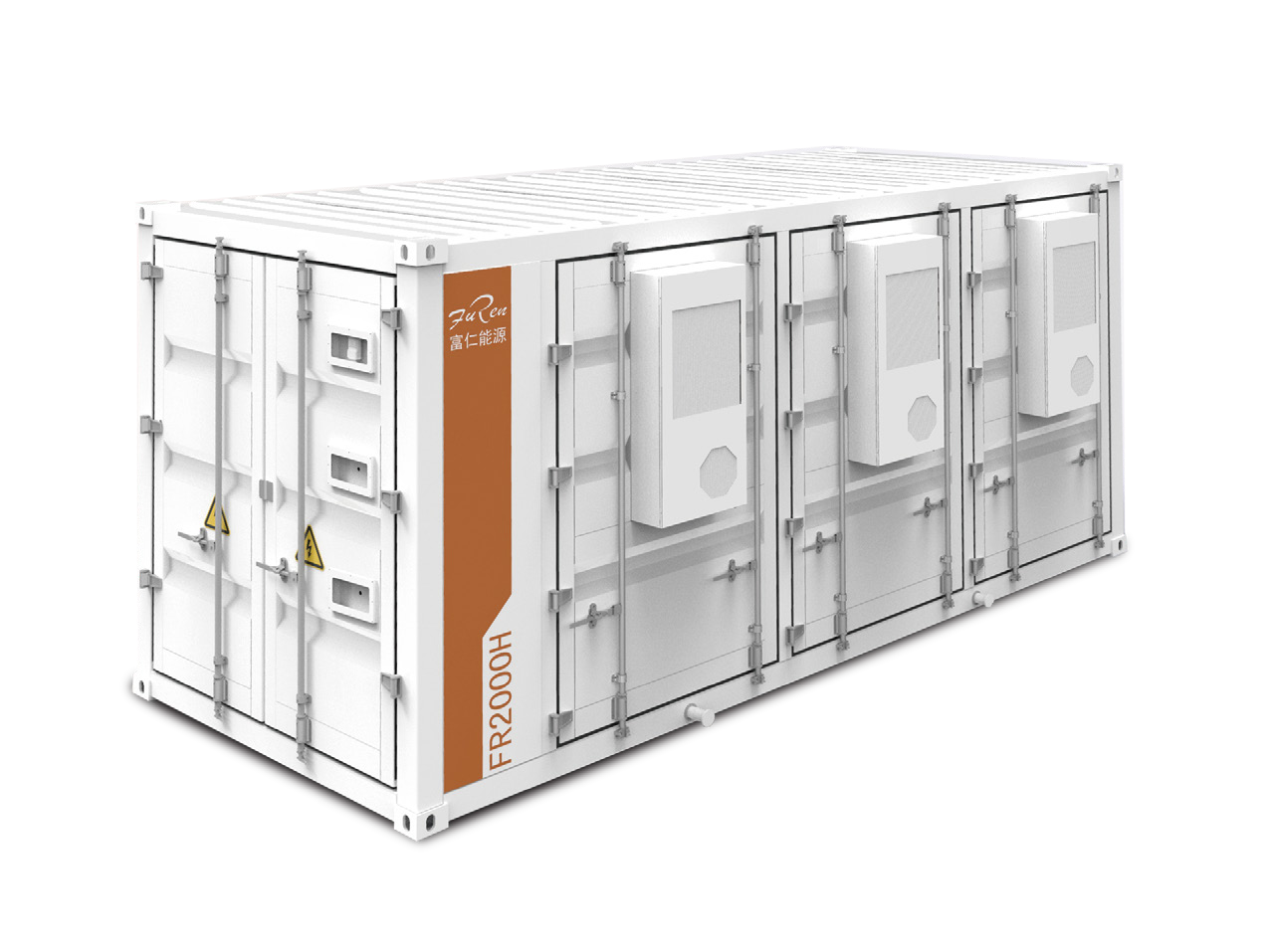

FR2000H 2.15MWh (Air-cooled) 20-foot Containerized Energy Storage System
Jiangyin Furen High-tech Co., Ltd.
Photovoltaic and Wind Power Generation Technology
Beijing Boqi Electric Power SCI-TECH Co., Ltd.
Hydraulic Turbine Genset
Dongfang Electric Corporation Dongfang Electric Machinery Co., Ltd.

Pneumatic high-pressure wear-resistant ball valve
Zhejiang Deca Control Valve Meter Co., Ltd.
IGBT Hydrogen Production Power Supply - High Power Air Cooling
Beijing Zhengzhuo Engineering Technology Co., Ltd.
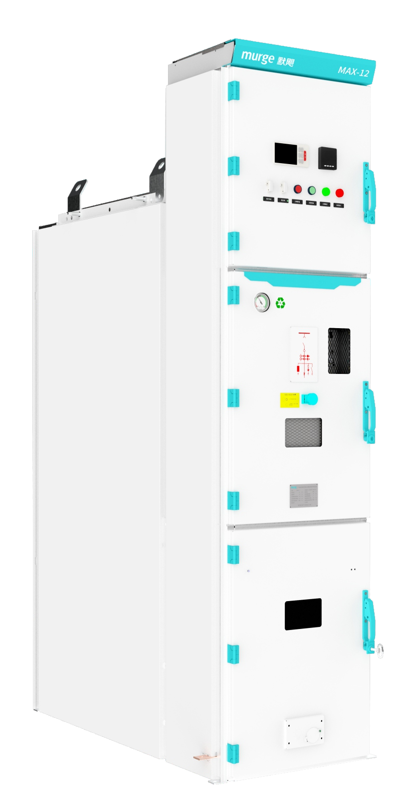
MAX-12 series Environmental Protection/SF6 gas insulated switchgear (C-GIS)
Murge Electric Co.,Ltd.