Yalong River Bridge in Muli, Sichuan, China Closes, Scheduled to Open to Traffic in September
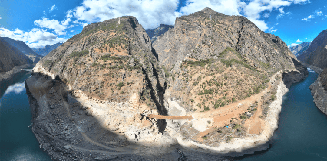
en.Wedoany.com Reported - The Yalong River Bridge, the most challenging section of the new reconstruction project of Provincial Highway 469 from Qiaowa Town to Yuanbazi in Muli County, undertaken by China First Highway Engineering Bureau Group, has recently been successfully closed. Located in the Muli Tibetan Autonomous County of Sichuan at the border of Sichuan and Yunnan, this project is the only road passage connecting five townships in the northern part of the county and an important segment of the "Horseback Mail Route" in the new era.
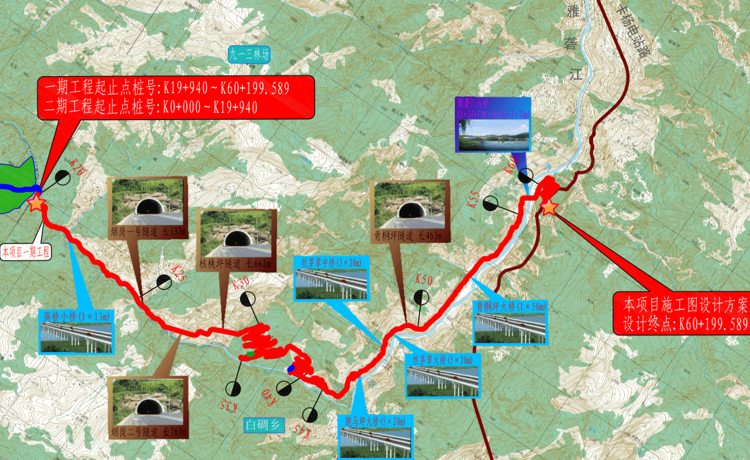
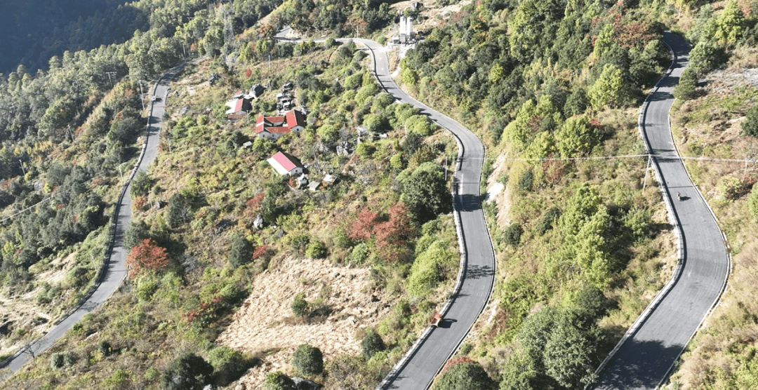
This project is situated in the Hengduan Mountains, with an average altitude exceeding 3,000 meters. A road approximately 40 kilometers long extends along the cliffs, with 29 kilometers of the route running parallel to or overlapping the former "Horseback Mail Route." About 80% of the entire project section is adjacent to steep cliffs, with the highest altitude reaching 3,870 meters, oxygen content less than 60% of that in plain areas, and a minimum temperature of minus 20 degrees Celsius. The canyon experiences year-round strong winds of Force 7, with frequent geological disasters. In 2023 alone, the construction section encountered 17 landslides and mudslides.
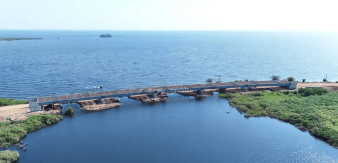
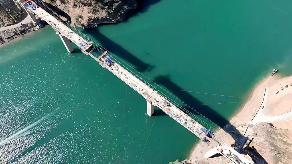
The Yalong River Bridge has a total length of 397 meters, a main span of 270 meters, and a deck width of 9 meters, capable of accommodating two-way two-lane traffic. Constructing a bridge in a V-shaped canyon presented two major challenges. First, there were no access roads on either bank, requiring 15 hours of land transport and 3 hours of water transport for large machinery and materials. The project team established an "aerial transport system," using cable cranes to hoist heavy building materials and building a temporary cable-stayed bridge equipped with an intelligent monitoring system. When wind speeds exceed Force 5, an automatic alarm prohibits passage, and after 90 days of intensive work, this transport route was completed.
A greater challenge came from water level fluctuations. The bridge is located in the inundation zone of the Jinping I Hydropower Station reservoir, with an annual water level variation of 36 meters. During the flood season, high water levels can submerge foundation pits and destroy temporary facilities, leaving only about six months each year as a "safe window period" for underwater pile foundation construction. The rock layer beneath the riverbed is extremely hard. The project team adopted a combined process of using down-the-hole drills to create pilot holes and impact drills for efficient rock breaking, significantly improving work efficiency. For the construction of the 65-meter-high main pier, builders worked at a rate of 4.5 meters per day, fighting continuously for 155 days and nights to cast the main pier above the water surface before the arrival of the flood season peak.
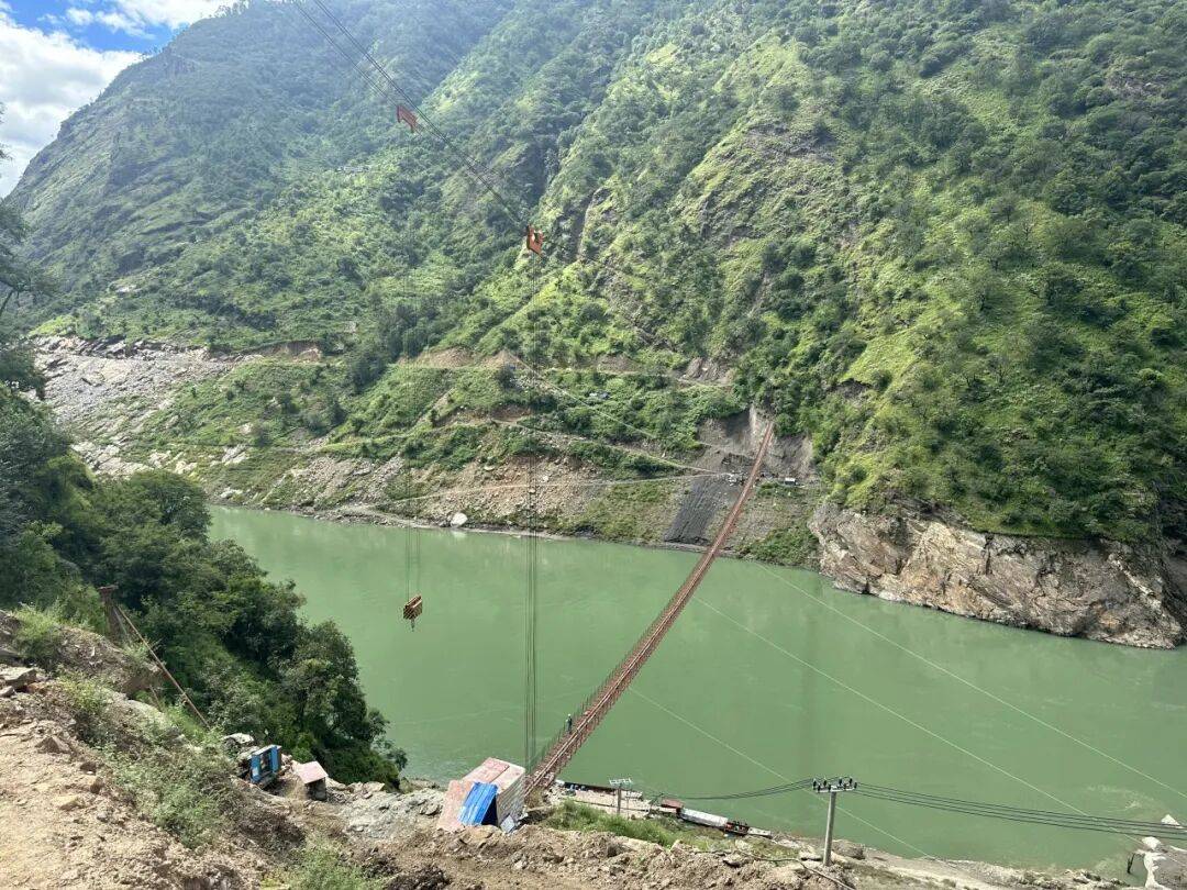
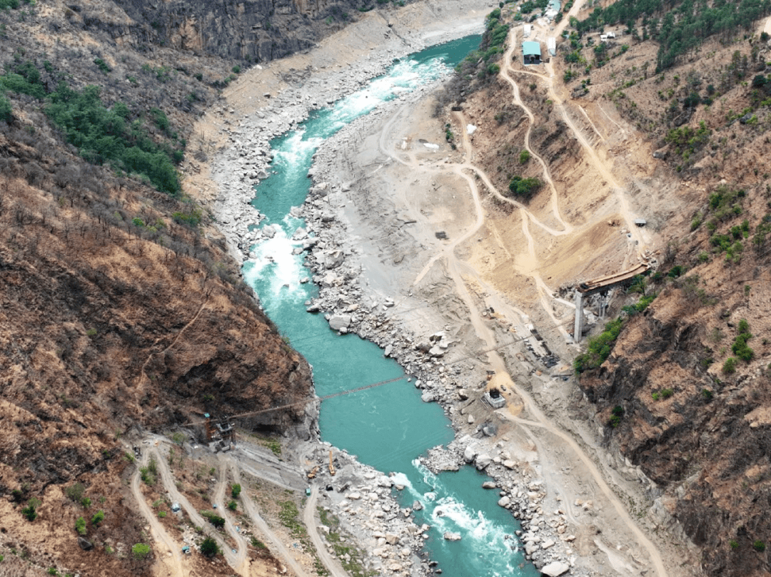
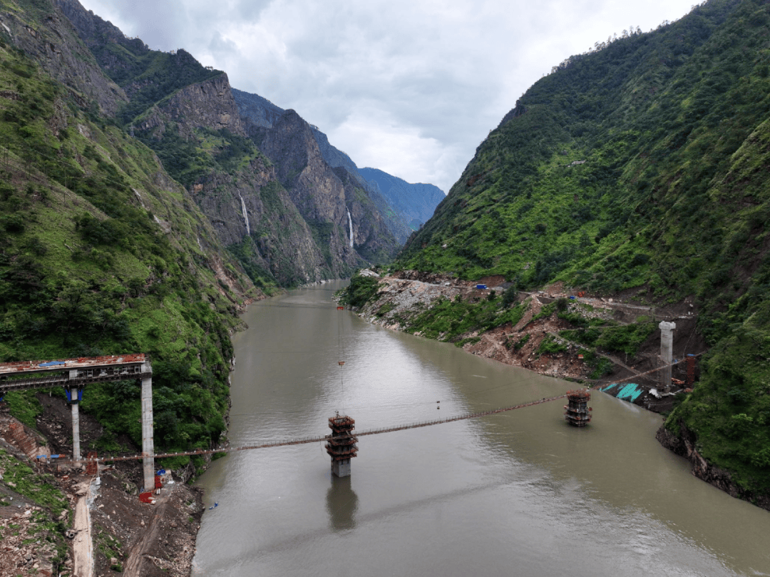
As of now, all four tunnels and six bridges along the entire Muli project have been closed and connected, and the project has entered its final sprint phase. It is expected to open to traffic in September this year. The previously treacherous five-hour bumpy journey will be shortened to a smooth 50-minute ride. This highway will break the traffic bottleneck connecting Muli County northward to Ganzi Prefecture, becoming a "road for industry," "road for development," and "road for tourism."
Related Products

YHTank8400N Solvent-Free Liquid Epoxy Coating
JIANGSU YUNHU NEW MATERIAL TECHNOLOGY CO., LTD.
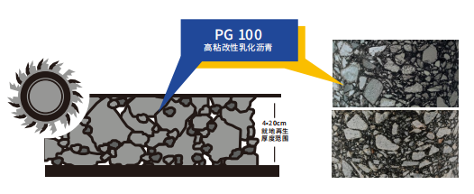
High-toughness in-Situ Cold Recycling Technology for Original Structural Layers
Central Fortune Creation Technology Group Co., Ltd.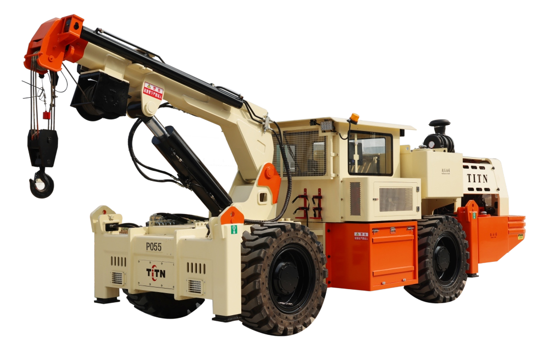
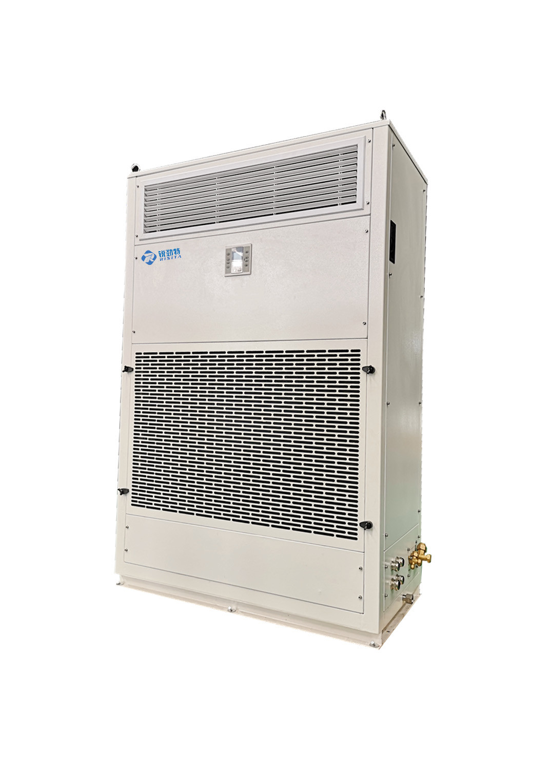
RISITA explosion-proof air conditioning
Guangdong RISITA Air Conditioning Equipment Co.,Ltd.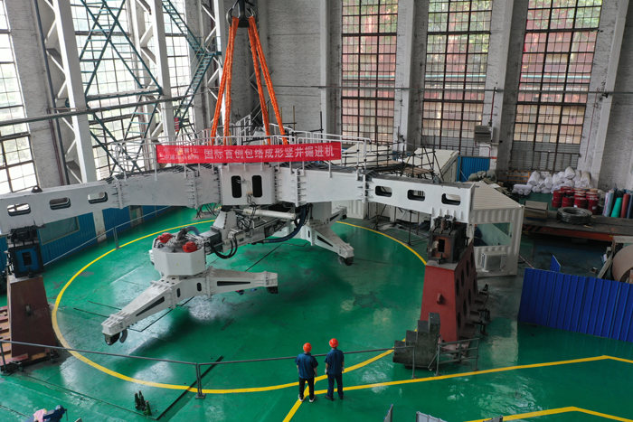
CITIC Heavy Industries Tunneling Equipment Tunnel Engineering Shield Machine
CITIC Heavy Industries Co., Ltd.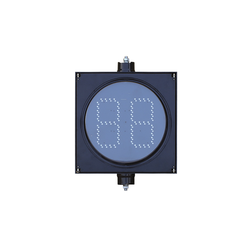
300mm Segment Type Countdown Traffic Light (Core Type)
Yangzhou FAMA Intelligent Equipment Co., Ltd.
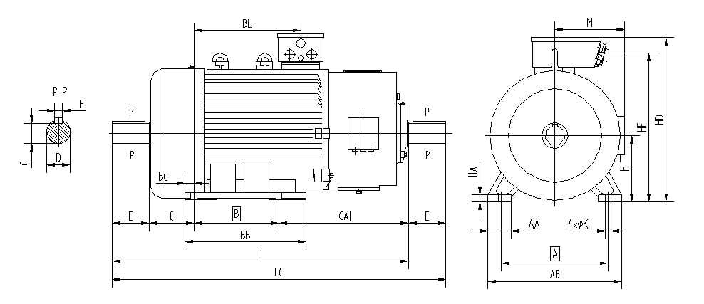
YZR (450-560) Series Wound Rotor Three-Phase Asynchronous Motors for Crane and Metallurgical Applications
Jiamusi Electric Machine Co., Ltd.