Quectel Deploys Slope Monitoring Solution for Smart Highway Renovation in Longyan, China
en.Wedoany.com Reported - Longyan City has launched the "Smart Renovation Project for Demonstration Corridors on Ordinary Highways," with Quectel participating in the construction. Targeting scenarios involving high slopes and long-distance national and provincial highways, the company has provided an integrated smart monitoring solution encompassing "real-time sensing, reliable transmission, intelligent analysis, and coordinated alerting." The renovation focuses on trunk routes such as G319 National Highway in the mountainous western Fujian region, where high slopes, steep drops, and sharp curves are concentrated. With frequent heavy rainfall during flood seasons, geological hazards such as landslides and collapses pose significant risks, putting pressure on highway maintenance and traffic safety.
To capture slope risks at an early stage, the project has established a three-dimensional monitoring network covering the surface layer, internal structure, and environmental triggers of slopes. On the high-risk earth-rock mixed slope sections along the K614-K686 stretch of G319 National Highway, Quectel LR200A GNSS all-in-one devices, integrated crack meters, vibration inclinometers, and line-break alarms have been deployed following "卅-shaped" and "井-shaped" network layouts across circular gentle, circular-to-straight transition cross-sections. Among these, the LR200A is equipped with Quectel's self-developed high-performance GNSS module and high-precision displacement monitoring and calculation algorithms, enabling precise capture of millimeter-level displacement and timely alerts once slope deformation occurs.
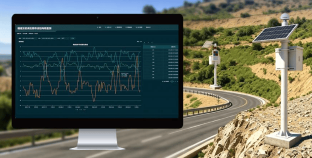
To address slow, imperceptible internal slippage within slopes, the project has deployed Quectel flexible inclinometers that penetrate deep into slope rock and soil for on-site monitoring, extending risk identification from shallow surfaces to deeper layers. Regarding environmental variables, rain gauges and soil moisture monitoring devices have been installed along the route to dynamically track changes such as increased slope weight and reduced shear strength caused by rainwater infiltration, buying time for early warning of slope instability.
In the early warning and response phase, Quectel has built a closed-loop "alert and response" system for imminent disasters, bridging technical warnings with manual emergency procedures. Based on intelligent analysis of multi-source data, the system automatically triggers four-tier risk alerts—red, orange, yellow, and blue—with each level corresponding to differentiated response strategies, enabling graded reactions.
When the system assesses a high-risk level, field devices activate in coordination: upstream variable message signs display warning text, high-decibel warning horns maintain remote sound pressure in rainy and foggy conditions, and high-frequency strobe lights and low-position warning lights flash simultaneously to guide drivers to slow down or pull over. Meanwhile, alert information is pushed to managers' mobile devices and the management platform. After remote verification, duty personnel can promptly dispatch road administration and maintenance teams to the scene for handling.
Currently, this digital transformation and upgrade project is progressing as planned. Quectel's highway slope smart monitoring solution, characterized by high-precision sensing and second-level closed-loop response, is gradually shifting mountainous highway management and maintenance toward a governance model driven by data, systems, and predictive analysis. Quectel stated that it will continue to deepen its presence in the intelligent transportation and geological disaster prevention fields, advancing the application of computing modules and AI edge algorithms in mountainous highway scenarios.
Related Products


One-Stop Steward Service for the Entire Logistics System Integration Chain
Zhongding Intelligent (Wuxi) Technology Co., Ltd.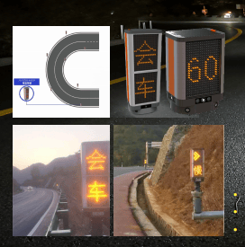

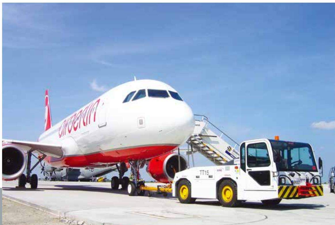
WGQY Series Aircraft Tow Tractor-WGQY15, WGQY27
Weihai Guangtai Airport Equipment Co., Ltd.

Wheel and Track Technology Business
Beijing Research & Design Institute of Rubber Industry Co., Ltd.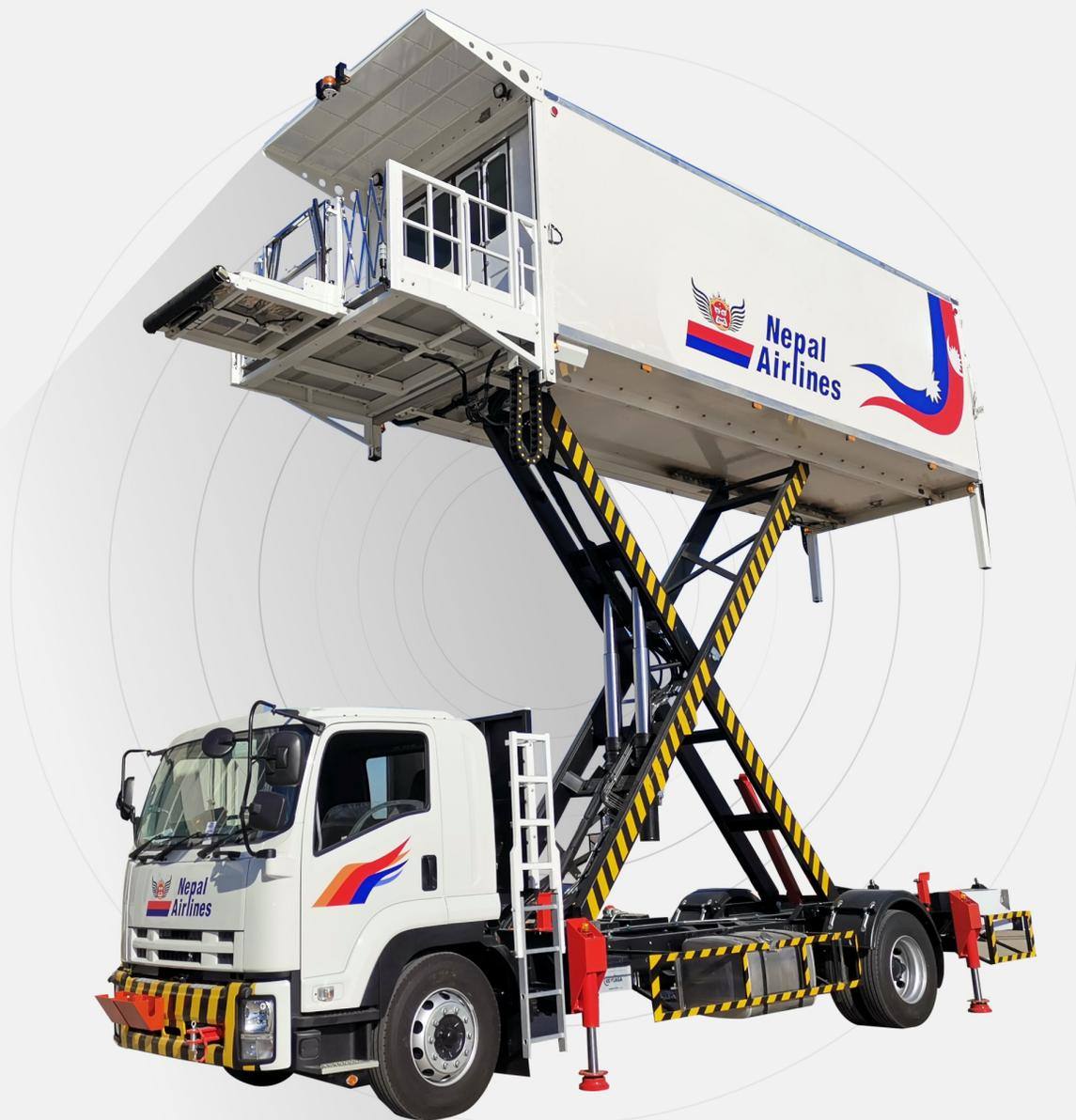
XC-6000e Type Aviation Catering Truck (Fuel Type)
Shenzhen CIMC-TianDa Airport Support Ltd.