Microsoft Donates $5 Million to Support AI-Powered Wildfire Monitoring in California
en.Wedoany.com Reported - In response to the escalating threat of wildfires, the ALERTCalifornia system, founded by the University of California San Diego, has introduced AI-powered camera monitoring to fire prevention and control, enabling detection of fires up to 2.5 hours earlier than the first 911 call. Microsoft's AI for Good Lab is supporting the next phase of the system's expansion with funding and technical assistance.
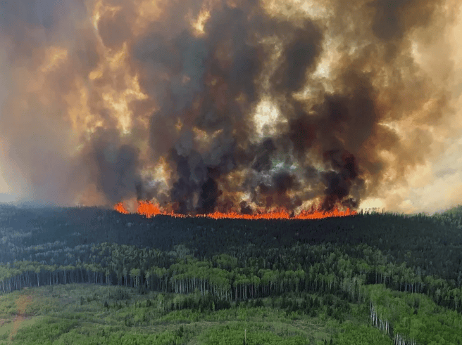
Wildfire risk in the United States is increasing with rising temperatures, prolonged drought, and expanding development. The nearly 78,000 wildfires reported nationwide last year represented a 20% increase from the previous year. In California, fire has long played a role in shaping forests, grasslands, and coastal landscapes, and the current management challenge centers on how communities can coexist with fire.
For decades, wildfire detection has typically relied on residents spotting smoke from roads, lookout points, or near communities and calling it in. ALERTCalifornia, founded by the University of California San Diego, has changed this process: approximately 1,300 cameras are deployed in fire-prone areas, and the system uses AI to compare real-time imagery from different camera angles to verify fire locations, sending alerts to emergency teams within minutes. During its first two months of trial operation, the system detected 77 incidents before they were reported through other channels; it now processes over 7 million images daily and can identify wildfires up to 2.5 hours earlier than the first 911 call.
The system also works to distinguish real fires from clouds, fog, and light variations, reducing false alarms that waste emergency resources. Dr. Neal Driscoll, geophysicist and founder of ALERTCalifornia, stated that every fire has the potential to get out of control, and the problem the team is trying to solve is keeping fires from getting out of control.
AI does not replace on-the-ground judgment of firefighters but rather provides multi-angle views of fire locations and potential spread before personnel arrive, assisting dispatchers in deciding how to respond and determining whether an event is a prescribed burn or a new wildfire. According to Earth.Org, wildfires require dry vegetation, oxygen-rich air, and a heat source simultaneously, with strong winds accelerating spread; lightning is the primary natural ignition source, and hotter, longer-lasting lightning is more likely to cause fires—a 2014 study found that lightning frequency may increase by 12% for every 1 degree Celsius rise in temperature; more than 80% of wildfires in the U.S. are linked to human activity, which accounts for approximately 84% of American wildfires; wildfire smoke contains gases and fine particulate matter that can travel long distances and penetrate deep into the lungs, increasing respiratory and cardiovascular health risks; climate change has extended the U.S. fire season from about four months to six to eight months or longer; and large-scale wildfires release greenhouse gases and destroy carbon-storing vegetation, creating a feedback loop that intensifies climate change.
Past cases demonstrate the value of early detection. In 2023, ALERTCalifornia's cameras and AI helped firefighters quickly contain the Trotter Fire in Kern County, which burned 52 acres; project officials stated that without AI imaging technology, the fire could have spread to nearly 4,000 acres. During the 2019 Kincade Fire in Sonoma County, earlier warnings supported evacuation planning, with more than 180,000 residents evacuated and no fatalities. Juan Lavista Ferres, Corporate Vice President and Chief Data Scientist of Microsoft's AI for Good Lab, said that if a fire is caught early, a shovel can put it out; if you wait, you need bulldozers, air tankers, and even miracles.
Microsoft is supporting the next phase of ALERTCalifornia with a $5 million donation, including $2 million for technology development and $3 million in Azure cloud service grants. Zachary Wells, Deputy Chief of the Kern County Fire Department and Deputy Director of Operations for ALERTCalifornia, said the system provides a wealth of information within the first five minutes, and this early understanding influences everything that follows.
Beyond detection, ALERTCalifornia is also using nearly 98,000 square miles of LiDAR data to build a digital model of California's landscape for terrain mapping, forest health monitoring, and hazard risk assessment such as landslides. These capabilities are especially important after wildfires, as damaged landscapes are more susceptible to erosion, debris flows, and watershed changes. Combined with environmental monitoring, AI imaging can support resilience building before, during, and after fires.
Within its broader environmental AI portfolio, Microsoft's AI for Good Lab is also conducting a range of projects. Aurora forecasting uses a 1.3 billion-parameter AI foundation model to analyze atmospheric data, improving weather and climate prediction and supporting weather forecasting, air quality modeling, and extreme weather analysis; the geospatial machine learning project collaborates with universities, conservation organizations, NGOs, and Türkiye's Disaster and Emergency Management Presidency, combining geospatial data, satellite and aerial imagery with machine learning for applications including earthquake building damage assessment, glacier and land cover mapping, poultry farm mapping, and renewable energy monitoring.
The glacier mapping project uses machine learning and satellite imagery to identify and monitor clean ice and debris-covered glaciers in the Hindu Kush Himalayan region, with web-based tools allowing experts to review and correct model predictions; the renewable energy mapping project uses geospatial machine learning to map and monitor renewable energy development at scale; the bioacoustics project partners with institutions such as the Humboldt Institute to conduct species identification under Project Guacamaya in the Amazon, while also supporting beluga whale monitoring and automatic classification of bird and amphibian calls; the accelerated biodiversity survey project collaborates with NOAA Fisheries, Sieve Analytics, and LILA BC to analyze images and audio from camera traps, aerial cameras, and microphones, reducing manual annotation; and the land cover mapping project uses computer vision to convert remote sensing data into land use and cover information, shortening manual mapping time for environmental scientists.
Related Products
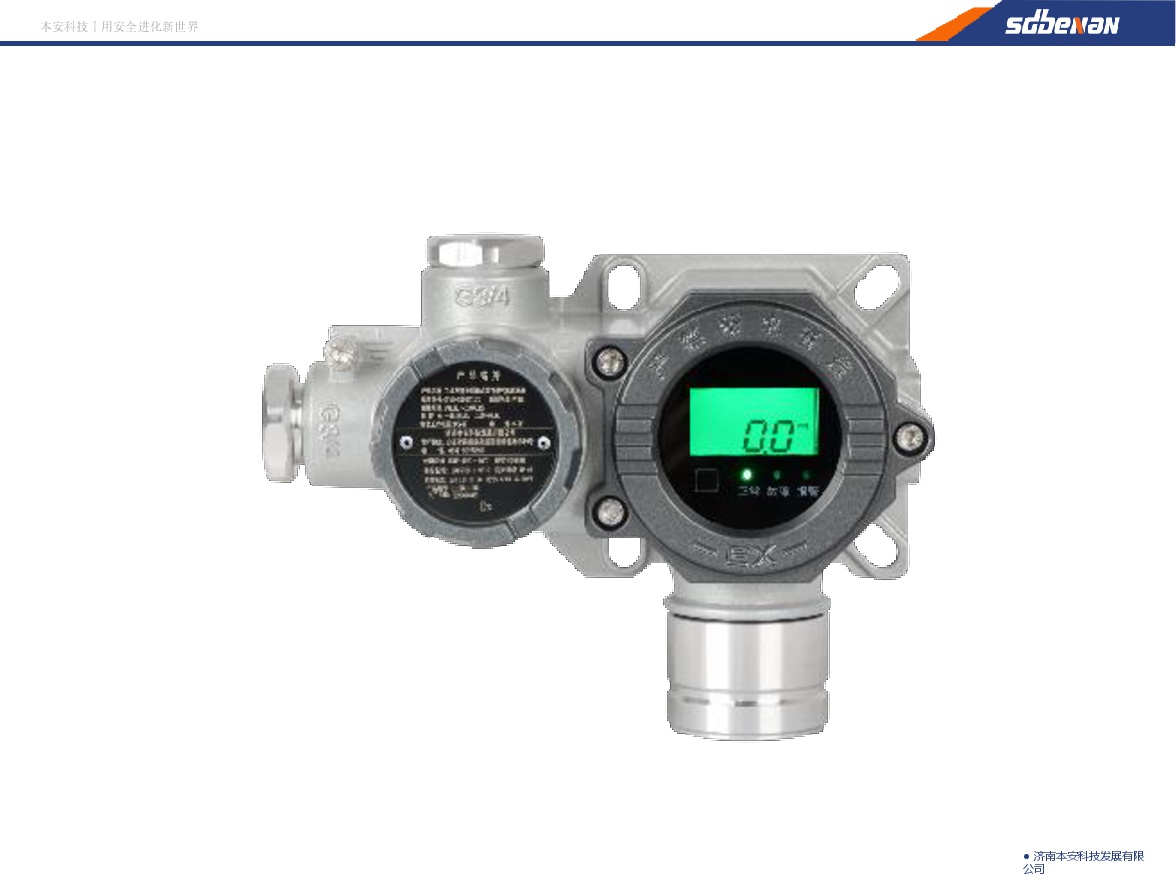

Industrial and Commercial Point-Type Gas Detector
Jinan Benan Technology Development Co., Ltd.


Hot Selling 10 Inch Intel N5100 I5 I7 FHD 8 +128GB 16+256GB Win10 Pro Win11 Pro 4G 5G Rugged Tablet PC Pad with NFC Barcode
Highton Electronics Co., Ltd.
20 Inch 1600*900 Full HD 60Hz TFT LED Monitor with VGA and DP Interfaces for Desktop Computers-Business Use
Guangzhou Zanying Optoelectronics Technology Co., Ltd.

MUX Series Communication Interface Device for Security and Stability Control System
Nanjing NR Electric Co., Ltd.
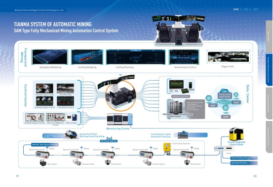
Comprehensive Mining Automation Control System
Beijing Tianma Intelligent Control Technology Co., Ltd.