Germany's FARO Launches Focus i.1 Series Laser Scanners with Up to 400 m Range
en.Wedoany.com Reported - On September 15, AMETEK-owned FARO INSIGHT released two terrestrial laser scanners, the Focus i.1 and Focus i.1 X, along with the Rovi i.1 reality capture kit, targeting scenarios such as architecture, engineering, construction and operations, geospatial mapping, and public safety. The two new Focus models achieve target measurement accuracy of up to 0.9 mm and enhance color scanning and positioning capabilities.
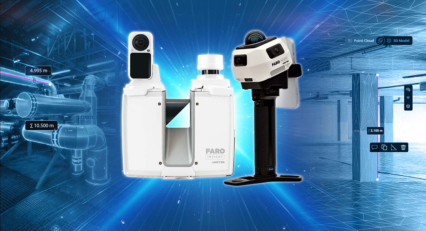
Among them, the Focus i.1 X is mainly aimed at outdoor and geospatial mapping tasks, with a maximum scanning range of 400 m, and can be equipped with a GNSS/RTK receiver for direct on-site acquisition of georeferenced information. The Focus series can also use the FARO Stream app for on-site data preview and pre-registration, and upload point clouds to the Sphere XG platform for cloud collaboration, or complete offline processing and analysis in SCENE software.
FARO also launched the Rovi i.1 mobile reality capture solution with Manifold Tech. The system adopts a "walk-and-scan" working method. The basic kit includes the scanning main unit, battery, phone mount, and transport case, with optional RTK/GNSS unit, close-range camera, and high-resolution panoramic camera. Collected data can be imported into Sphere XG and SCENE for generating point clouds, floor plans, room measurements, volume analysis, and as-built documentation.
On the software side, FARO also announced the SCENE 2027 upgrade plan. The new version will compress point cloud generation time for large projects from several hours to a few minutes, and add AI-based glass and mirror reflection filtering to reduce point cloud noise in complex indoor environments.
FARO also plans to connect the data workflow between Sphere XG and Flyability Inspector Online, using FARO SLAM technology to process data collected by the Elios 3 drone in enclosed or hard-to-access areas, and directly transfer point clouds between platforms. Sphere XG will subsequently launch the Integrated Projects scan-to-BIM service, and plans to integrate the Qbitec workflow within 2026.
The Focus i.1 series, Rovi i.1, and accompanying software updates were demonstrated this week at INTERGEO in Munich, Germany, and Autodesk University in Las Vegas, USA. This update covers fixed laser scanning, mobile scanning, GNSS/RTK positioning, point cloud processing, cloud collaboration, and scan-to-BIM, among other aspects.
Related Products


CAP1400 main feedwater flow nozzle flowmeter.
Jiangsu Hongda Instrument Technology Co., LTD.
LBH4000 Batch Environmental Protection Asphalt Mixing Plant | Asphalt Batching Plant | Asphalt Mixing Plant
Jilin Province Road Construction Machinery Co., Ltd.
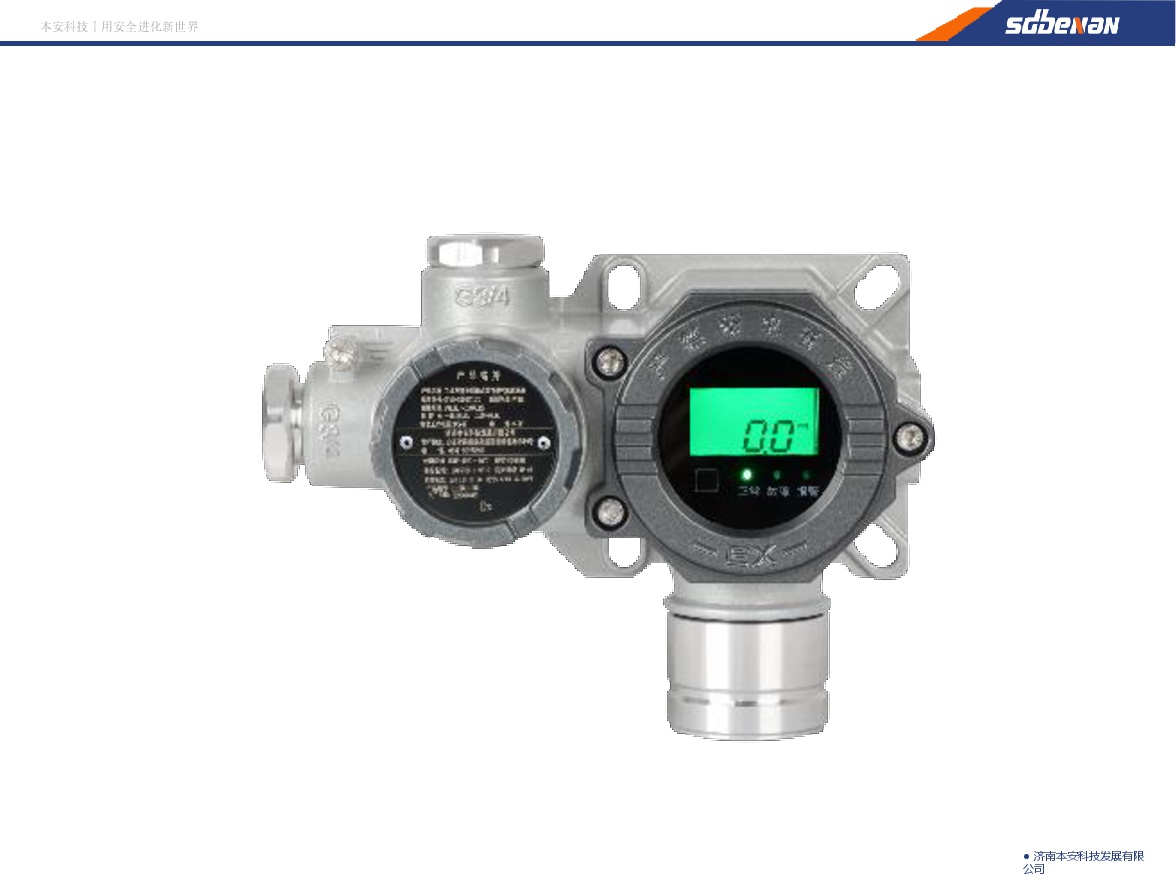
Industrial and Commercial Point-Type Gas Detector
Jinan Benan Technology Development Co., Ltd.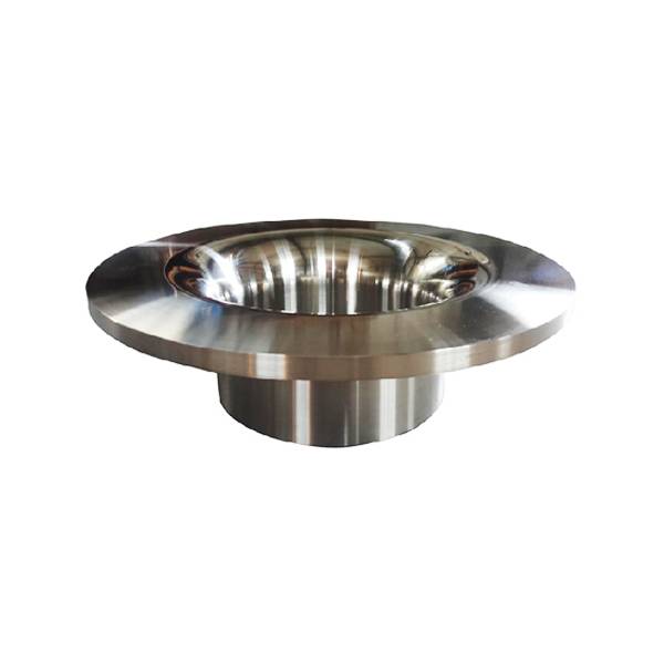
Standard Nozzle Flowmeter
Jinggong Automatic Control Instrument Complete Technology Development Company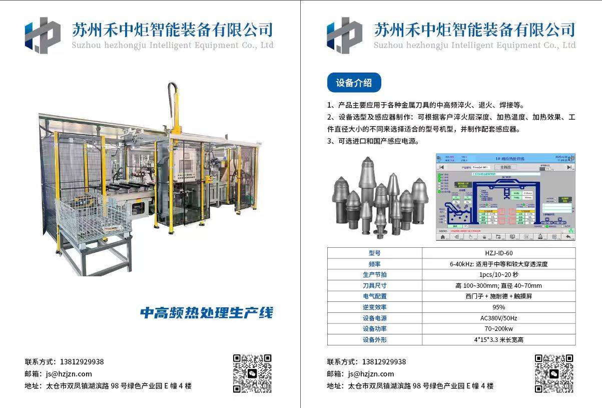
Excavator Bucket Teeth Heat Treatment Production Line
Suzhou Hezhongju Intelligent Equipment Co., Ltd.

High-Speed Railway Lifting, Transporting, and Erecting Equipment: Integrated Transport and Erection Machine
Hanjiang Heavy Industry Co., Ltd. of China Railway 11th Bureau Group
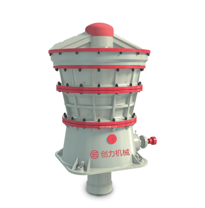
CLX Series Intelligent Hydraulic Gyratory Crusher
Guangdong CHUANGLI intelligent machinery Equipment Co., LTD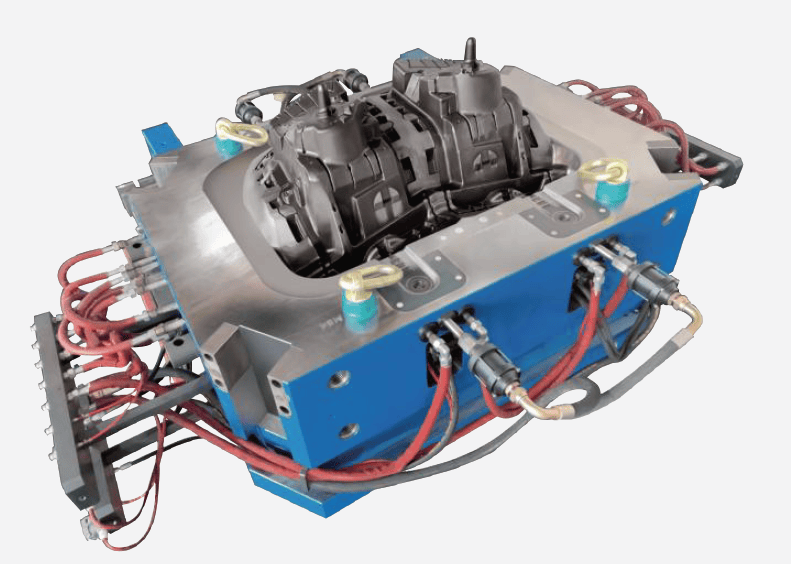
Aluminum-Magnesium Alloy High-Pressure Die-Casting Molds
NINGBO HELI TECHNOLOGY CO., LTD.