France's Viridien launches 3D seismic imaging project offshore Guyana
en.Wedoany.com Reported - On October 20, French geophysical technology company Viridien launched Phase 1 of a 3D seismic data reprocessing project offshore Guyana, covering more than 10,000 square kilometers of existing seismic data across four historical survey areas: Kaieteur, Georgetown, Kanuku and Corentyne. The project will integrate newly acquired 3D seismic data to form a continuous dataset spanning more than 14,000 square kilometers, with the first batch of processed results scheduled for delivery in the first quarter of 2027.
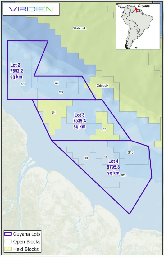
Phase 1 focuses on reprocessing and imaging existing 3D seismic data in the updip direction of the ExxonMobil-operated Stabroek Block and surrounding shallow-water exploration areas. Viridien will apply its seismic imaging processing technology to integrate data from different historical survey areas and connect them with newly acquired 3D seismic data, building a continuous subsurface geological dataset covering multiple offshore exploration blocks.
The historical data used in the project comes from four existing seismic surveys, for which Viridien holds exclusive access and commercialization rights. The company has begun the first stage of processing, planning to first produce preliminary imaging results for use by oil and gas exploration companies before integrating them with newly acquired data.
The reprocessing project dovetails with a multi-client seismic exploration collaboration between Viridien and China's BGP in Guyana. On March 11, 2026, Viridien and BGP signed an agreement with Guyana's Ministry of Natural Resources to conduct approximately 25,000 square kilometers of 3D seismic data acquisition and imaging in offshore survey areas 2, 3 and 4, covering 11 shallow-water blocks involved in the 2022 offshore oil and gas block bidding round.
Under the division of responsibilities in the March agreement, China's BGP is responsible for new 3D seismic data acquisition, while Viridien handles subsequent high-precision imaging processing, with technical solutions including shallow-water multiple suppression and time-lapse full waveform inversion. Phase 1, launched in October, centers on reprocessing existing seismic data, initially achieving processed coverage of more than 10,000 square kilometers.
Related Products

Industrial and Commercial Point-Type Gas Detector
Jinan Benan Technology Development Co., Ltd.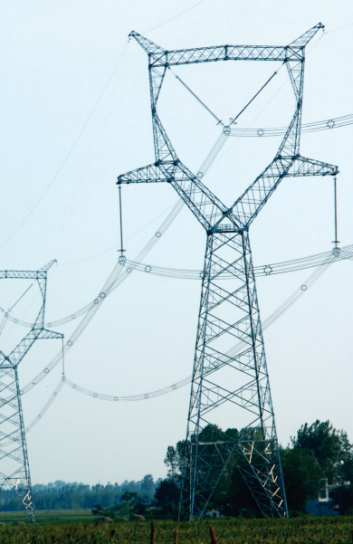
1000kV Jin Southeast-Nanyang-Jingmen UHV AC Transmission and Transformation Pilot Demonstration Project
Anhui Hongyuan Steel Tower Co., Ltd.
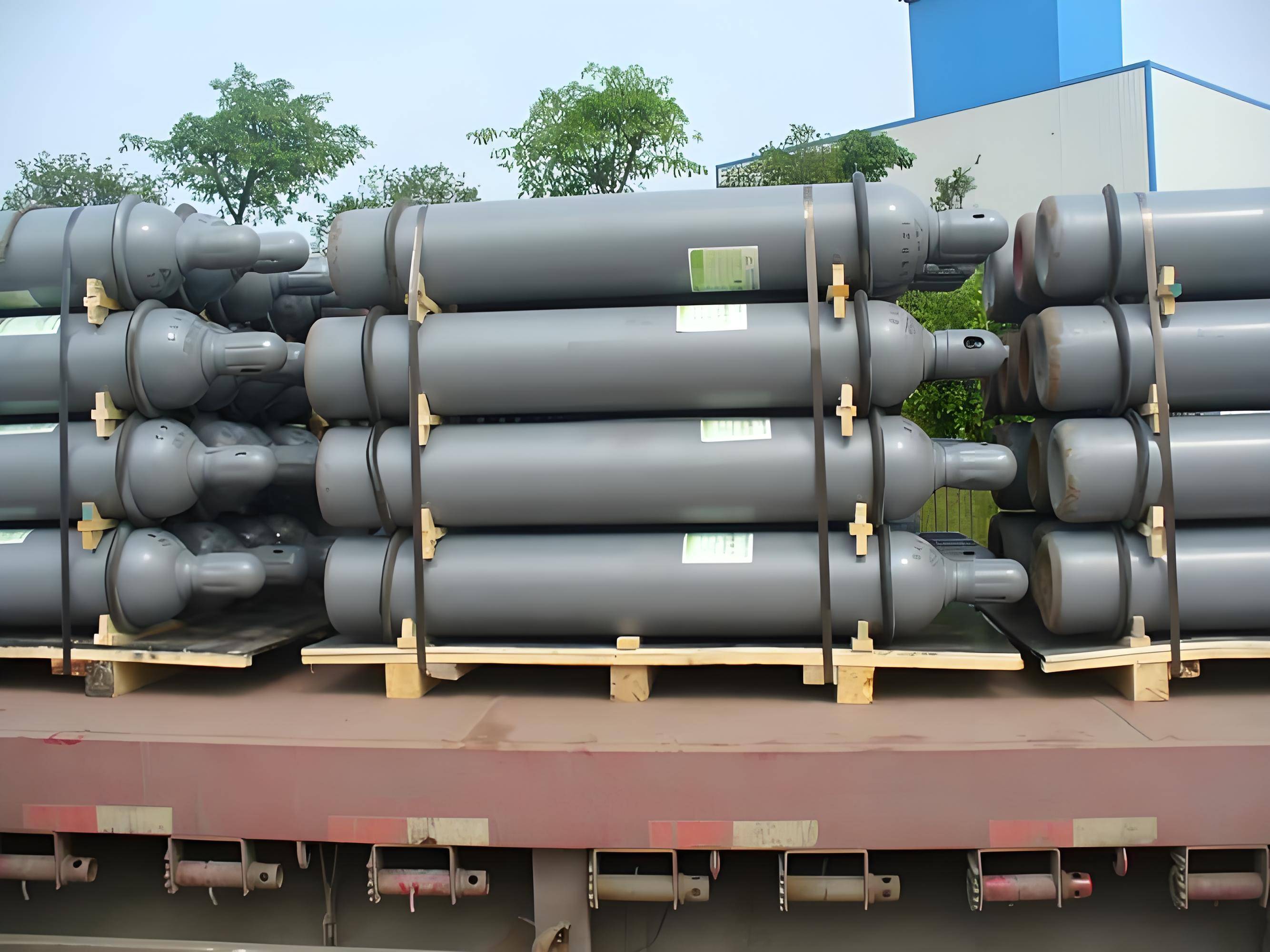
Global Sulfur Hexafluoride Gas Supply and Cylinder Export
Foshan Yuexin Industrial Gas Co., Ltd.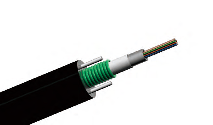
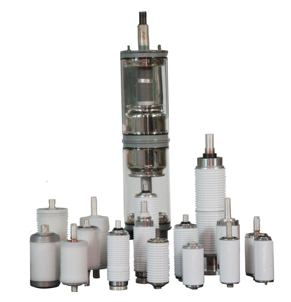
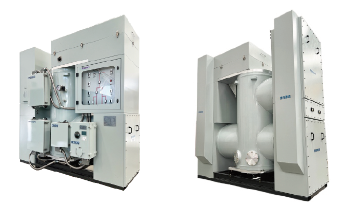
72.5kV 1250A 31.5kA SF6 free Gas-insulated Metal-enclosed Switchgear
Zhejiang Juhonkia Intelligent Electric Co., Ltd.
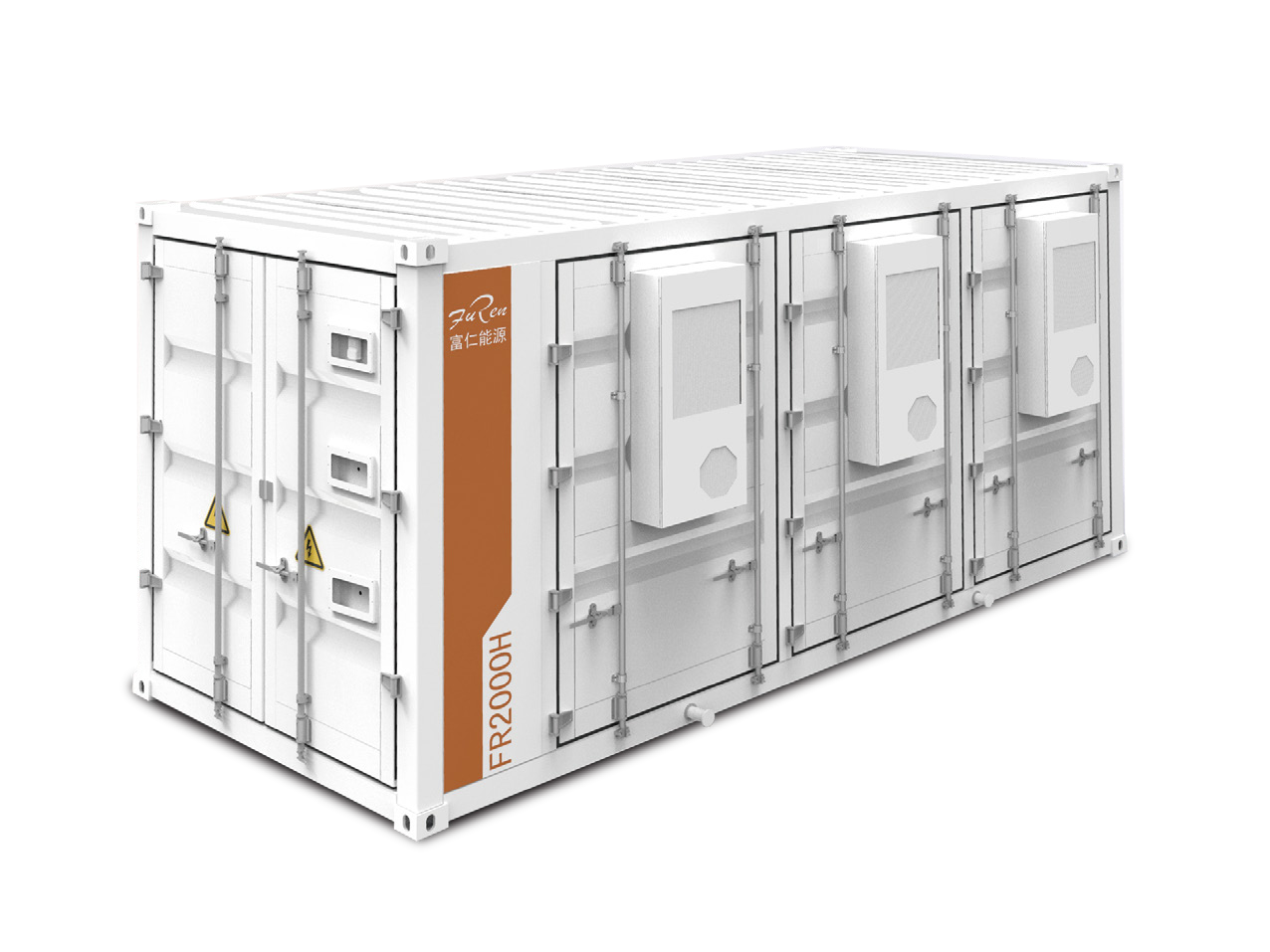
FR2000H 2.15MWh (Air-cooled) 20-foot Containerized Energy Storage System
Jiangyin Furen High-tech Co., Ltd.
G.652.D Wavelength-extended Non-dispersion Shifted Single-mode Optical Fiber
HONGAN GROUP CO., LTD.