Hale County, USA, Announces Six Priority Flood Control Areas
en.Wedoany.com Reported - On November 5, Hale County, Texas, USA, announced six priority treatment areas under its drainage master plan, covering Plainview, Hale Center and surrounding rural roads, with a focus on investigating issues such as road ponding, insufficient drainage facility capacity and railway embankments obstructing water flow. The plan is funded by a US$500,000 grant from the Texas Water Development Board, and EDGE, an Austin-based engineering consulting firm, is responsible for hydrological modeling and treatment scheme research. At present, the project has been narrowed down from the 10 problem areas initially identified to 6, and a comparison of engineering measures is underway.
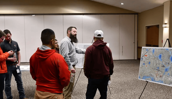
The six priority treatment areas are: southwest Seth Ward; North Main Street in Hale Center; North Columbia Street in Plainview near Seth Ward; the intersection of County Road 0 and County Road 80; the East Sixth Street industrial area in Plainview; and the junction of County Road C and Blackwater Draw. These areas encompass urban roads, industrial land and rural road intersections, and face varying degrees of ponding, poor drainage and flood scouring problems.
The engineering consulting team screened the 10 problem sites initially identified using hydrological models, resident feedback and data on local roads, buildings and critical facilities. The team is currently refining the rainfall-runoff model and evaluating treatment schemes for different areas. Alternative engineering measures include enlarging culvert cross-sections, adding stormwater drainage pipes, increasing storage capacity and reconstructing bridges. For some areas unsuitable for large-scale civil construction, flood warning signs, alarm devices or road closure facilities will also be considered.
Among the specific areas, the junction of County Road C and Blackwater Draw suffers from severe bank scouring, and the engineering team needs to assess whether to adopt structural flood control facilities or early warning measures. The low-lying section in northern Hale Center near Interstate 27 repeatedly experiences ponding, and the flow capacity of existing drainage facilities is a key focus of study. The railway embankments and crossings near Seth Ward and North Columbia Street also increase the difficulty of regional drainage, and water flow diversion schemes need to be studied in light of railway facility conditions.
The total budget of this plan is US$500,000, funded by the Texas Water Development Board, and is mainly used for hydrological model development, field data collection and engineering scheme research, excluding the cost of subsequent flood control facility construction. The EDGE project team will compare the construction costs of various measures with expected flood control benefits, including the number of residences that can be protected from flood impacts and whether roads serve traffic functions for communities and critical public facilities, providing a basis for subsequent project ranking and funding applications.
The plan was launched in July 2026, and the team is expected to produce a preliminary report in February 2027, with the overall plan scheduled for completion in April 2027. The final results will be used for regional flood control planning and the Texas state flood plan, providing a project basis for subsequent applications for state and federal flood control funding.
Related Products


Pure Polyurethane Wall Panel BD-AEF-PIR-01
Baodu International Engineering Technology Co., Ltd.
Metal sound barriers that can reduce the transmission of road noise
Hebei Jinbiao Construction Materials Tech Corp., Ltd.

West China Xiamen Hospital of Sichuan University
Wuhan Huakang Century Clean Technology Co., Ltd.
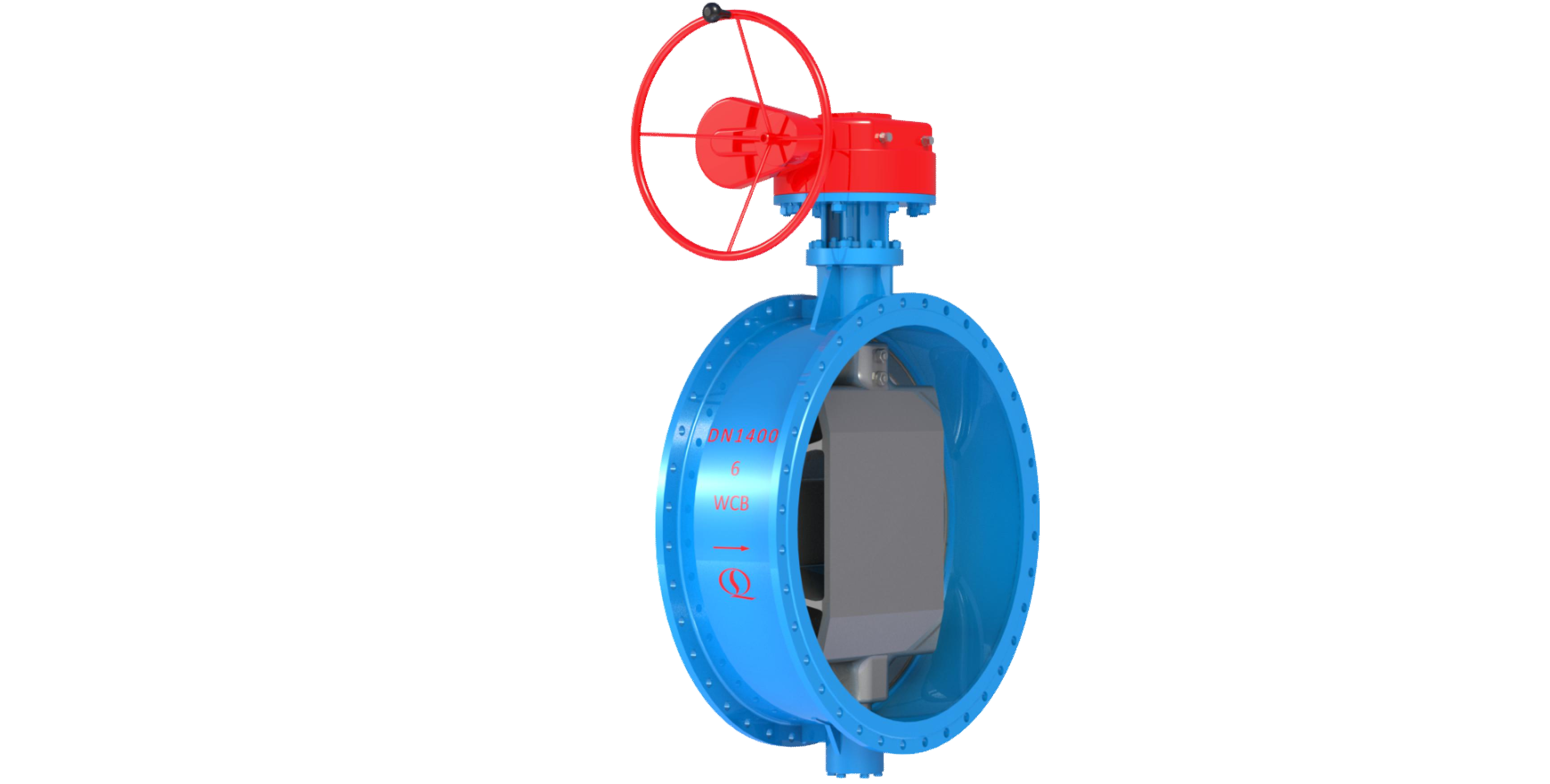
Bidirectional Metal Hard Sealed Seawater Butterfly Valve
Henan Quanshun Flow Control Science & Technology Co., Ltd.