en.Wedoany.com Reported - The Rio de Janeiro City Government is negotiating a partnership with the National Institute for Oceanic Research (Instituto Nacional de Pesquisas Oceânicas, INPO) to create a digital twin model of the Rio coast. INPO is affiliated with the Ministry of Science, Technology and Innovation (Ministério da Ciência, Tecnologia e Inovação, MCTI).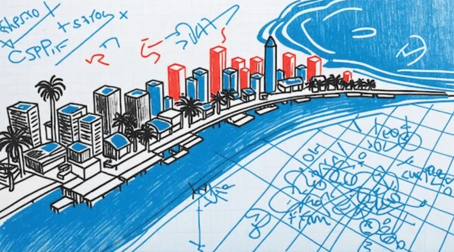
The model will construct a digital map of the seabed topography within 5 kilometers of the coastline, from Praia do Flamengo to Praia do Recreio. Rio will serve as the starting point for INPO's larger project—modeling the entire Atlantic coast.
Bernardo Ainbinder, Rio's Deputy Secretary for Entrepreneurship and Innovation, told Mobile Time that the model will be used to analyze the interaction between waves and heavy rainfall events, aiming to improve predictions of floods and other socio-environmental impacts. Additionally, it will enable more accurate assessments of storm surges and sea-level rise, and support coastal management, environmental licensing, and permits for economic activities on beaches.
The coastal digital twin is one of the Rio City Government's initiatives to leverage digital technology in addressing climate emergencies, particularly in impoverished communities. One such project is "Polvos da Maré" (Octopuses of Maré), which uses 3D-printed devices within the favela da Maré to collect environmental georeferenced data (such as temperature), operated by community volunteers. This project, in collaboration with the Massachusetts Institute of Technology (MIT), is part of the global "Senseable City Lab" initiative.
Currently, the devices in the "Polvos da Maré" project are not connected to the internet and require cables for data transmission, but a new version with mobile connectivity is planned. Simultaneously, efforts are underway to expand the project to other favelas in the city. Another initiative under the Rio Senseable City Lab involves using LiDAR to create three-dimensional models of Rio's communities—essentially building digital twins of favelas. This work has been completed in parts of the favela do Vidigal. Expansion to other communities has been slow due to the need to reach agreements with local leaders.
Additionally, there is the "Brisa Mais" (Fresher Breeze) project, which cross-analyzes data on the incidence of respiratory diseases such as tuberculosis to study whether low-impact architectural or urban modifications can improve air circulation and thereby enhance local health. This data could later be fed into the digital twins of favelas to simulate renovation scenarios.
Rio de Janeiro faces four major climate risks: sea-level rise, floods, landslides, and heat stress. The aforementioned digital technology projects aim to help the city government monitor and mitigate these issues, especially in the most impoverished communities. Ainbinder explained that the goal is to generate and integrate data for virtual recreations of favelas and run climate adaptation scenarios. He cited examples of differing conditions in various communities: in Rio das Pedras, horizontally distributed communities face no landslide risk but are threatened by rising river levels; whereas in Rocinha, the greatest risk is landslides. Using technologies like digital twins or digital modeling can enhance the accuracy and effectiveness of the public sector's preventive responses to risks in vulnerable areas.