en.Wedoany.com Reported - A joint scientific team composed of researchers from Peking University, the Chinese Academy of Sciences, and other institutions has successfully measured vertical ozone distribution data from the ground to an altitude of 8,861 meters above Mount Everest using the latest vertical takeoff and landing (VTOL) composite-wing drone, fully capturing the entire process of ozone downward transport driven by glacier winds. This provides key observational evidence for studying the trend of high-concentration ozone changes on the Qinghai-Tibet Plateau.
Ozone change trends are important indicators of atmospheric environmental evolution. With its clean atmospheric background, the Qinghai-Tibet Plateau serves as a natural laboratory for studying the evolution of the atmospheric environment across Eurasia. Previously, researchers observed near the Everest base camp that glacier winds could transport high-altitude ozone to the surface, but systematic direct observational data on the spatial impact range of glacier winds and the ozone transport flux they carry remained lacking, primarily due to equipment limitations.
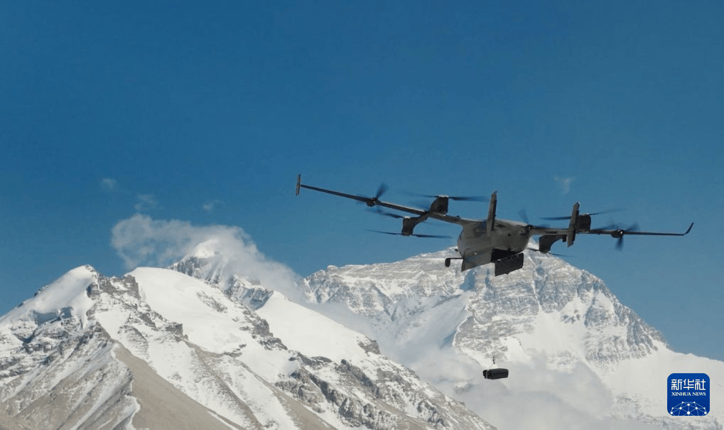
The joint scientific team collaborated with DJI Technology Co., Ltd. to optimize and enhance the functionality of the VTOL composite-wing drone, integrating the advantages of both multi-rotor and fixed-wing drones. This addressed challenges unsuitable for high-altitude scientific research, such as rotor-induced air disturbance affecting measurement accuracy, fuel combustion pollution, and heavy reliance on runways, ensuring the authenticity and representativeness of measurement data collected by the drone at the extreme altitude of 8,861 meters.
According to Zhou Yanxi, cargo product manager at DJI Technology Co., Ltd., engineers made improvements to the drone's battery constant-temperature heating system, pitot tube anti-icing measures, and power and flight control redundancy systems to address extreme conditions such as thin air, large temperature differences, and strong turbulent wind fields in the Everest region.
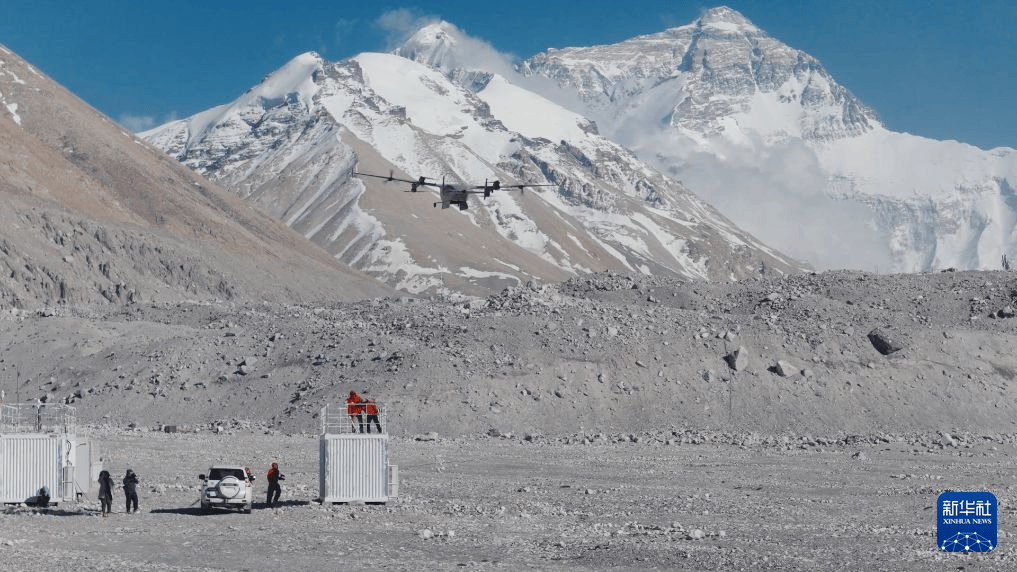
Ye Chunxiang, an associate professor (tenured) at the College of Environmental Sciences and Engineering of Peking University and a member of the scientific team, stated that the joint team conducted 12 days of field operations on the northern slope of Mount Everest, completing 32 effective flight sorties. They twice surpassed the 8,848-meter elevation of Everest, with one flight stably reaching 8,861 meters while carrying a payload. At this altitude, the drone successfully obtained vertical ozone distribution data and visually captured the entire process of glacier wind formation, descent, and diffusion, confirming that glacier winds can transport high-concentration ozone from high altitudes downward, thereby affecting ozone distribution in the Everest region. This provides critical first-hand data for analyzing the high ozone concentration issue in the Everest area and changes in the plateau's atmospheric environment.
Zhang Xiaonan, spokesperson for DJI Technology Co., Ltd., stated that the company will continue to optimize the drone's payload adaptability and real-time data transmission capabilities, driving further breakthroughs in extreme high-altitude atmospheric observations.