DJI Successfully Tests High-Altitude Delivery and Surveying Drones on Mount Everest in Nepal
en.Wedoany.com Reported - DJI announced that several of its drones have successfully completed high-altitude delivery, surveying, and atmospheric research missions on Mount Everest, testing the performance of the new delivery drone FlyCart 100, the surveying drone Matrice 4E, and its first eVTOL series delivery drone, the EV50.
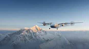
This test builds on DJI's years of experience with drone applications in the Everest region. In 2022, the DJI Mavic 3 reached the summit to capture aerial footage; in 2024, the FlyCart 30 completed the world's first delivery test from the South Base Camp to Camp 1. This year, the FlyCart 100, in collaboration with local drone company Airlift on the Nepalese south side, verified its payload capacity, RTK positioning accuracy, signal stability, and battery life in high-altitude environments (-15°C to 5°C). Tests showed the model can carry payloads of up to 47 kilograms at altitudes exceeding 6,300 meters. A total of 10,073 kilograms of supplies and waste were transported between Base Camp and Camp 1, including 7,215 kilograms of mountaineering gear and 2,858 kilograms of garbage cleared from the mountain, with a one-way flight taking just 8 minutes. Traditionally, Sherpas would need to hike for six to eight hours through the Khumbu Icefall to complete the same delivery. The FlyCart 100's subsequent goal is to transport approximately 5,000 oxygen cylinders between Base Camp and Camp 1 each climbing season and help remove about 10,000 kilograms of garbage from higher camps. Each climber leaves an average of about 8 kilograms of waste on the mountain. This aligns with sustainability efforts such as the Nepal Mountain Association's "Zero Waste Initiative 2027."
DJI's Matrice 4E compact commercial drone conducted glacier surveying tests at an altitude of 6,450 meters in temperatures below -20°C. The model surveyed over 3 square kilometers of the central Khumbu Icefall (at centimeter-level resolution) in less than 3.5 hours, covering areas above Base Camp, the Icefall, and Camp 1. Its integrated laser rangefinder can precisely identify hazardous points during real-time measurements, providing critical data for planning safer climbing routes and enhancing rescue operations. Raj Bikram Maharjan, CEO of Airlift Technology, stated that this is the first such deployment in Nepal and is unique in terms of detail level, operational utilization, and real-time mountaineering safety focus, potentially representing the first practical operational application of this scale in a high-altitude expedition environment globally.
In terms of scientific support, the DJI EV50 transported ozone measurement equipment from Peking University's College of Environmental Sciences and Engineering from the Mount Everest National Nature Reserve climbers' base camp 12 times over 12 days. Maneuvers such as spiral climbs and repeated flights along the same route adapted to complex winds and harsh flight conditions, with the most successful flight reaching a maximum altitude of 8,861 meters and a maximum steady climb of 3,730 meters. This marks the first time researchers from the university have used drones for high-altitude tropospheric observations for atmospheric chemistry research.
Related Products

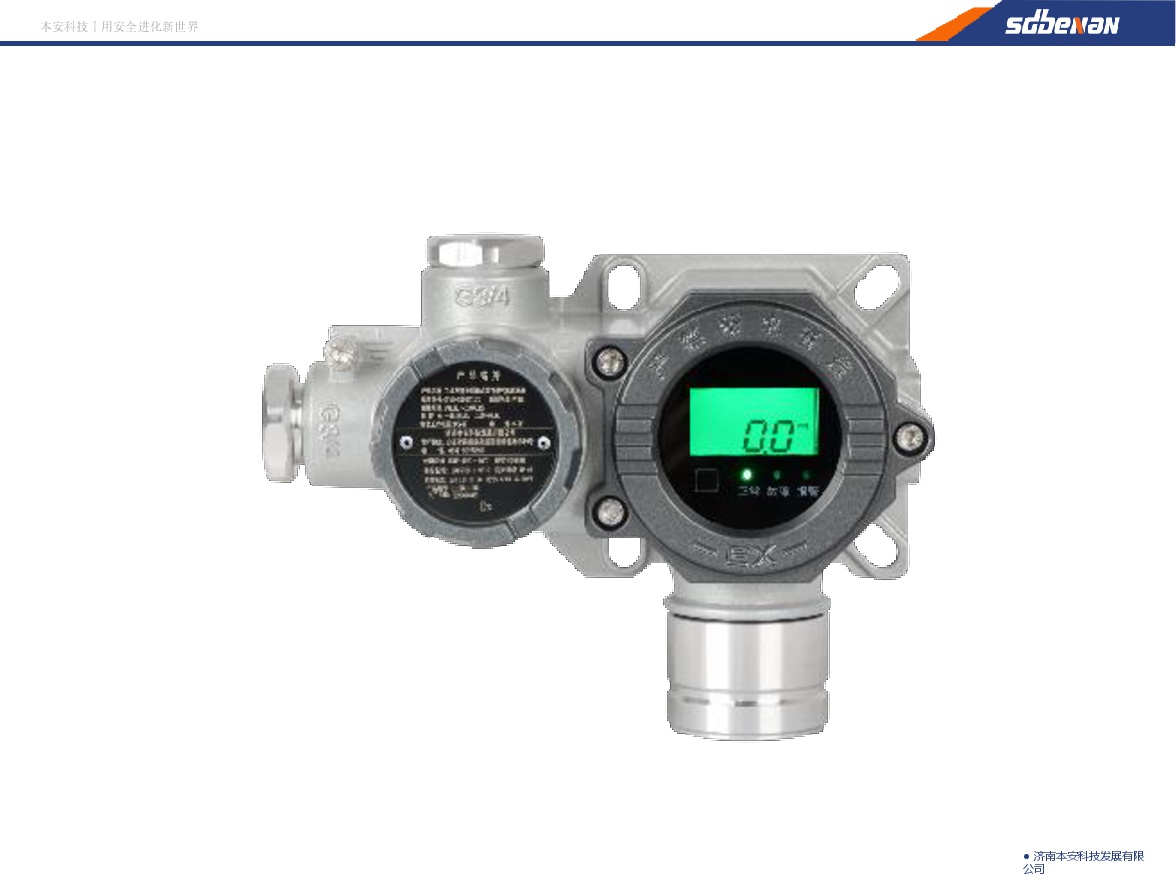
Industrial and Commercial Point-Type Gas Detector
Jinan Benan Technology Development Co., Ltd.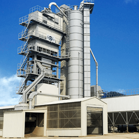
LBH4000 Batch Environmental Protection Asphalt Mixing Plant | Asphalt Batching Plant | Asphalt Mixing Plant
Jilin Province Road Construction Machinery Co., Ltd.

Pneumatic high-pressure wear-resistant ball valve
Zhejiang Deca Control Valve Meter Co., Ltd.
Standard Nozzle Flowmeter
Jinggong Automatic Control Instrument Complete Technology Development Company