North Brabant, Netherlands Releases Seven-Layer Geothermal Resource Potential Map
en.Wedoany.com Reported - On October 26, the provincial government of North Brabant in the Netherlands and Energie Beheer Nederland (EBN) jointly released a new batch of geothermal resource potential maps. Engineering consultancy IF Technology completed geological studies of seven potential geothermal reservoirs, covering different temperature grades from 15 to 90 degrees Celsius. The study integrated parameters such as subsurface formation depth, temperature, thickness, and permeability, identifying areas with geothermal development potential in the Roerdalslenk (Roer Valley Graben) and around several cities in the province. The results have been incorporated into the province's heat source registry.
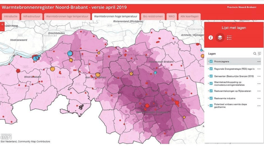
This geothermal resource survey was commissioned jointly by the provincial government of North Brabant and EBN, as part of the province's "Action Plan for Accelerating Geothermal Development." IF Technology used data obtained from SCAN, the national subsurface geological survey program of the Netherlands, to conduct a comprehensive assessment of seven subsurface formations with development potential, analyzing reservoir distribution and geothermal resource conditions in different areas.
The research results are divided into three resource grades based on hot water temperature: very low-temperature geothermal resources at 15 to 35 degrees Celsius, low-temperature geothermal resources at 30 to 50 degrees Celsius, and medium-temperature geothermal resources at 50 to 90 degrees Celsius. Spatial distribution information was established separately for each temperature grade, for use by local governments and heating companies in screening geothermal development areas suitable for further evaluation.
The survey results show that central North Brabant and the surrounding Roerdalslenk have relatively concentrated geothermal resource potential. Among these, the area between 's-Hertogenbosch and Eindhoven was identified as a key potential area for low-temperature geothermal resources. The western part of Eindhoven and a belt area north of Breda and Tilburg show higher potential for medium-temperature geothermal development.
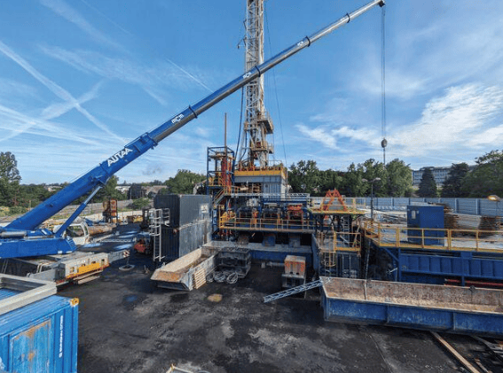
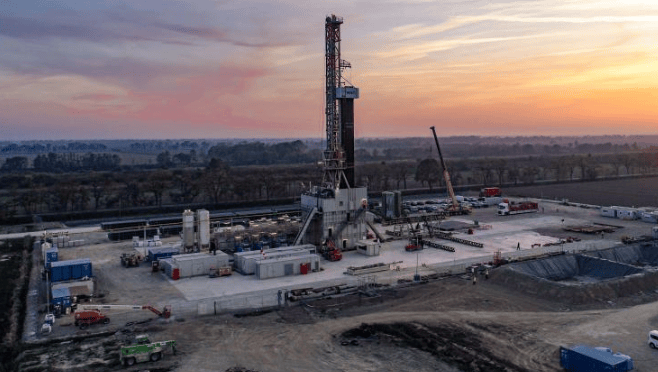
The geothermal resource assessment for the eastern Brabant region also incorporated new data obtained from a research drilling near Milheeze. The related exploration results provided supplementary evidence for the local low-temperature geothermal resource survey, enabling further identification of geothermal development potential in some subsurface aquifer formations in the eastern part of the province.
The newly released potential maps have been incorporated into the North Brabant Heat Source Registry (Warmtebronnenregister) for use by local governments, heating companies, and other project developers. The related data can be used to identify subsurface formations worthy of further exploration and to provide a basis for determining subsequent geological survey areas and site selection for geothermal heating projects.
According to the research application arrangements published by the provincial government, further evaluation of potential development areas will be carried out in cooperation with municipal governments and heating companies. Project screening also needs to consider restrictive conditions such as drinking water resource protection areas, Natura 2000 nature reserves, and existing subsurface resource permit areas.
Related Products


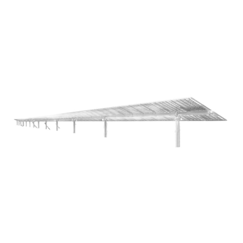
TAI Slew-drive Single-axis Independent 1P Tracking Bracket System
ANTAI TECHNOLOGY CO., LTD.
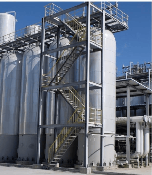
Hydrogen Production Technology: Hydrogen Purification by Pressure Swing Adsorption
Chengdu Yizhi Technology Co., Ltd.
1000kV Jin Southeast-Nanyang-Jingmen UHV AC Transmission and Transformation Pilot Demonstration Project
Anhui Hongyuan Steel Tower Co., Ltd.
PCS-901 Series Ultra (Extra) High-voltage Transmission Line Complete Protection Device
Nanjing NR Electric Co., Ltd.