en.Wedoany.com Reported - UK Earth observation company SatVu is enhancing climate resilience monitoring capabilities using high-resolution thermal imaging data captured by the HotSat-1 satellite. The company offers thermal imaging at a resolution of 3.5 meters, enabling governments, city authorities, non-governmental organizations, businesses, and communities to monitor urban thermal environments and environmental changes, understand the impacts of rising temperatures, and track the effectiveness of climate adaptation measures.
A key aspect of SatVu's technology is its ability to capture thermal images both day and night. Unlike traditional high-resolution optical imagery, its thermal sensors can operate after sunset and see through smoke, providing a nighttime alternative for environmental observation. The satellite-based approach enables continuous monitoring of locations worldwide, including remote, inaccessible, or restricted areas, addressing the geographic coverage limitations of aircraft or drone thermal surveys.
SatVu also provides high-resolution thermal still images and thermal videos of up to 60 seconds in length for monitoring motion in both natural and built environments. These capabilities support continuous observation, helping analysts track evolving thermal patterns and dynamic events.
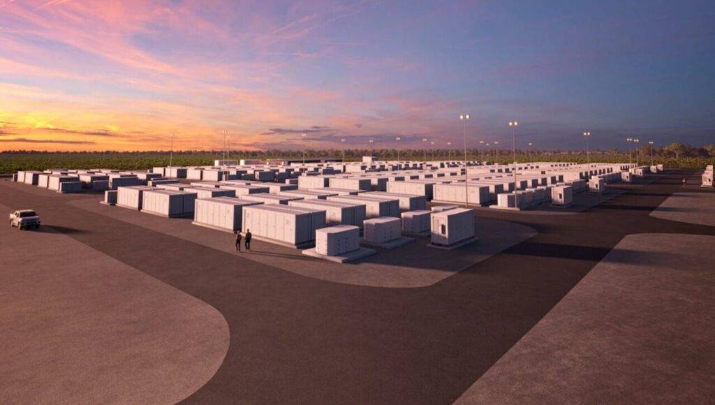
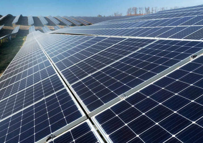
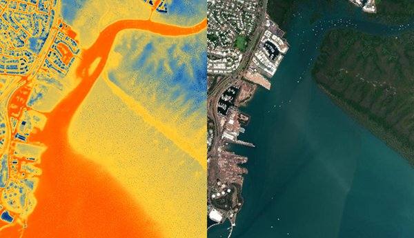
The company's climate resilience platform supports a wide range of environmental monitoring applications. High-resolution thermal imaging can be used to monitor changes in natural ecosystems such as mangroves, detect planned and illegal natural gas flaring, identify thermal anomalies in large solar farms for fault detection, and assess thermal pollution from industrial discharges into surrounding water bodies. These datasets provide data support for environmental management, infrastructure monitoring, and sustainable development initiatives.
Thermal data is also applied in disaster response and natural resource management. The technology can detect wildfire behavior through smoke, identifying fire lines, hotspots, and fire spread direction to inform emergency response teams. The platform can also monitor planned and illegal deforestation activities by revealing land use changes.
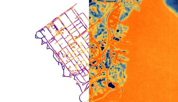
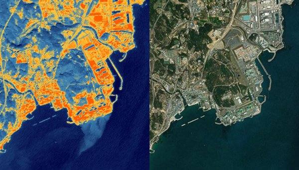
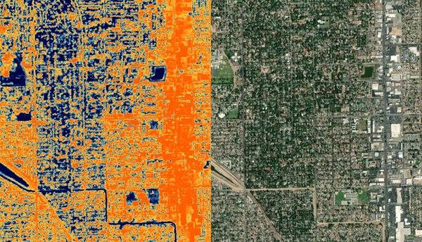
In urban planning, high-resolution thermal imaging can help identify communities affected by urban heat island effects and extreme heat events, compare temperature differences between densely built-up areas and green spaces, assess the cooling benefits of urban greening initiatives, and measure the effectiveness of mitigation strategies. By combining high-resolution thermal imaging, nighttime observation, thermal video capabilities, and global satellite monitoring, SatVu provides climate resilience data designed to support evidence-based decision-making and long-term environmental sustainability.
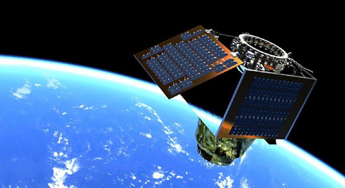
SatVu is a UK-based Earth observation company specializing in high-resolution thermal imaging from space. Through the HotSat satellite constellation, the company provides thermal intelligence solutions for climate resilience, infrastructure monitoring, environmental management, energy applications, and security. Its data products are designed to help governments, commercial organizations, and researchers understand human activities and environmental change.