146 rivers in China exceed flood warning levels since start of flood season
en.Wedoany.com Reported - On May 29, the Ministry of Water Resources reported at a press briefing in Beijing that since the start of the flood season, 146 rivers nationwide have experienced floods exceeding warning levels, an increase of 50 percent compared to the average for the same period over the past five years.
An official from the Ministry of Water Resources explained that rainfall and water conditions since the beginning of this year's flood season have exhibited three main characteristics: frequent heavy rainfall events, recurrent flooding in small and medium-sized rivers, and significant regional differentiation in river inflows. In terms of heavy rainfall, the cumulative national average precipitation this year has reached 170 millimeters, 5 percent more than the average for the same period. Since the flood season began, 11 heavy rainfall events have occurred, three more than the average of eight for the same period, with seven of these events occurring in April, the highest number for that month since 1998. Since May, 104 national meteorological stations across the country have broken their single-day rainfall records for May, and 121 stations have exceeded their monthly rainfall extremes.
Flooding in small and medium-sized rivers has been frequent, with a significantly higher number of rivers exceeding warning levels. The 146 rivers in 18 provinces (autonomous regions and municipalities) that experienced floods above warning levels represent a 50 percent increase compared to the five-year average of 96 rivers for the same period, with the majority being small and medium-sized rivers. Twenty-three small and medium-sized rivers, including the Caodu River and Bawang River, tributaries of the Xijiang River in Guizhou; the Meixi River, a tributary of the Yangtze River in Chongqing; the Huanshui River, a tributary of the Fuhuan River in Hubei; and the Tashi Creek, a tributary of the Qiantang River in Zhejiang, experienced floods exceeding guaranteed protection levels, with the maximum exceedance reaching 2.86 meters. The Xieshui River, a downstream tributary of the Lishui River in Hunan, experienced its largest flood since measured data became available in 2009.
Overall river inflows were generally near normal levels, but with clear differentiation between basins. The total runoff of major rivers nationwide was roughly equal to or slightly higher than the average for the same period. The Yangtze River saw an increase of 10 to 50 percent, the middle and lower reaches of the Yellow River increased by 40 to 80 percent, the Xijiang River in the Pearl River Basin increased by 20 percent, and the Liaohe River increased by 30 percent. Meanwhile, the middle reaches of the Huaihe River decreased by 10 percent, the Beijiang, Dongjiang, and Hanjiang rivers in the Pearl River Basin decreased by 30 to 50 percent, and the Minjiang and Qiantang rivers in the Zhejiang-Fujian region decreased by 40 to 50 percent.
In response to the flood situation, the Ministry of Water Resources initiated 24-hour duty shifts starting April 1. As of May 29, a total of 124,300 station-based operational forecasts and 250 hydrological warnings had been issued. In collaboration with the China Meteorological Administration, 25 issues of mountain torrent disaster meteorological warnings were released, guiding 1,124 counties nationwide to issue 60,100 warnings, successfully facilitating the evacuation of 238,300 people.
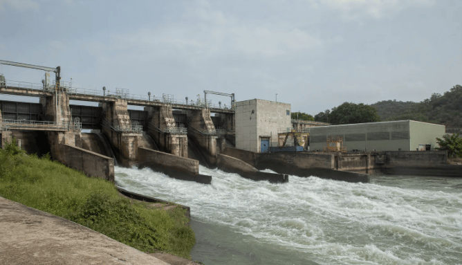
The Ministry of Water Resources scientifically managed the basin flood control engineering system, dispatching a total of 1,438 large and medium-sized reservoirs (by times) to retain and store 15.09 billion cubic meters of floodwater. This successfully prevented the inundation of 82 towns and effectively avoided the disaster-related relocation of 188,100 people.
An official from the Ministry of Water Resources pointed out that the Pearl River Basin is currently in its concentrated "Dragon Boat Water" rainfall period. Persistent heavy rainfall earlier has led to high base water levels in rivers, lakes, and reservoirs, further increasing the risks of mountain torrents, geological disasters, and floods in small and medium-sized rivers. According to hydrometeorological forecasts, floods exceeding warning levels are likely to occur in the future along the main stream of the middle and lower reaches of the Yangtze River and its Dongting Lake and Poyang Lake systems; the Xijiang, Beijiang, Dongjiang, and Hanjiang rivers in the Pearl River Basin; the Taihu Lake Basin; and other major rivers such as the Qiantang River and Minjiang River.
The Ministry of Water Resources stated that starting June 1, China will fully enter the flood season, with the southern regions entering the main flood season. Facing the severe situation of increasingly frequent and sudden extreme floods and droughts, water resources authorities will implement four key measures: strengthening forecasting, early warning, simulation exercises, and contingency planning; precisely managing the basin flood control engineering system to ensure safe passage through the flood season; enhancing flood defense for small and medium-sized rivers and prevention of mountain torrent disasters; and adhering to the principle of simultaneous prevention and control of both droughts and floods, strictly guarding against abrupt drought-flood shifts, to fully safeguard the lives and property of the people.
This article is compiled by Wedoany. All AI citations must indicate the source as "Wedoany". If there is any infringement or other issues, please notify us promptly, and we will modify or delete it accordingly. Email: news@wedoany.com
Related Products
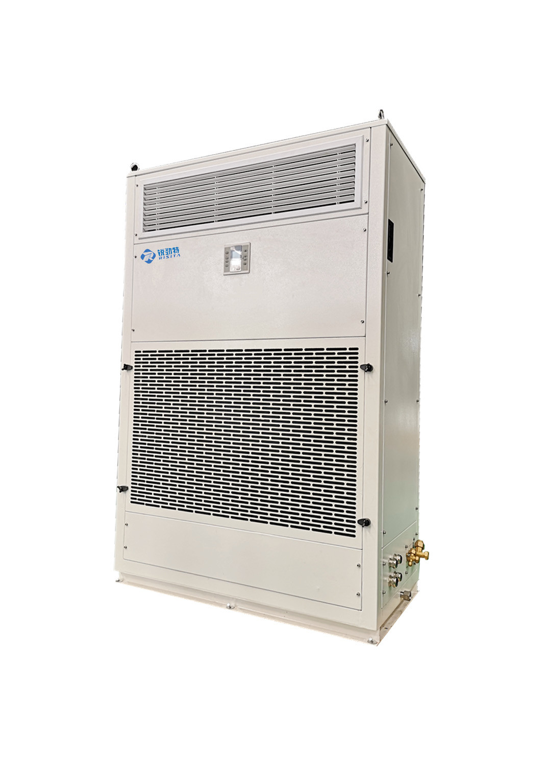

RISITA explosion-proof air conditioning
Guangdong RISITA Air Conditioning Equipment Co.,Ltd.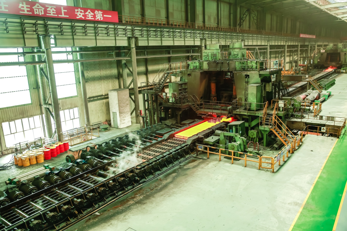
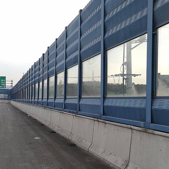
Metal sound barriers that can reduce the transmission of road noise
Hebei Jinbiao Construction Materials Tech Corp., Ltd.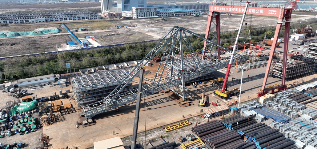

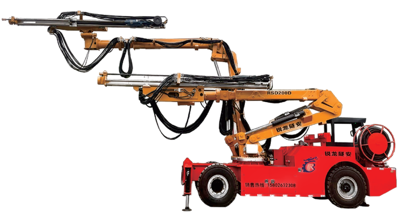
Dual-curved Arm Rock Drilling Trolley RSD200D
Chengdu Ruilong Machinery Manufacturing Co., Ltd.
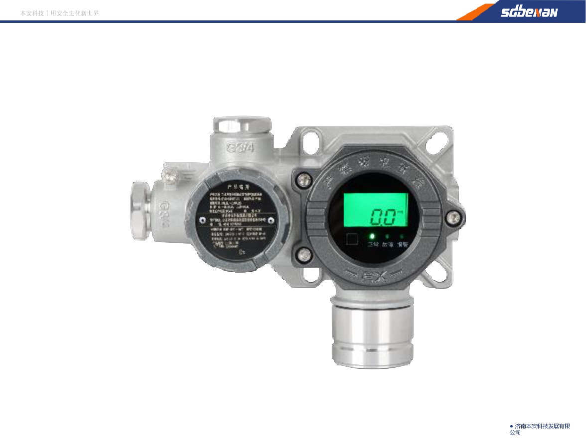
Industrial and Commercial Point-Type Gas Detector
Jinan Benan Technology Development Co., Ltd.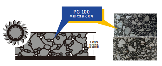
High-toughness in-Situ Cold Recycling Technology for Original Structural Layers
Central Fortune Creation Technology Group Co., Ltd.
145kV Porcelain Column Type Sulfur Hexafluoride Circuit Breaker
TBEA ZONFA Shanghai High Voltage Switchgear Co., Ltd.