en.Wedoany.com Reported - The Baoshan Command of Yunnan Provincial Ordinary National Highway Construction, in collaboration with a geophysical prospecting team, has applied multiple advanced geophysical prospecting technologies during the construction of the Tengyue Tunnel in Gaoligong Mountain—a key control project on the Lushui-Tengchong section of the National Highway 219 renovation and expansion project. These measures effectively address the high risks posed by the tunnel's passage through seismically active zones and water-rich fractured belts.
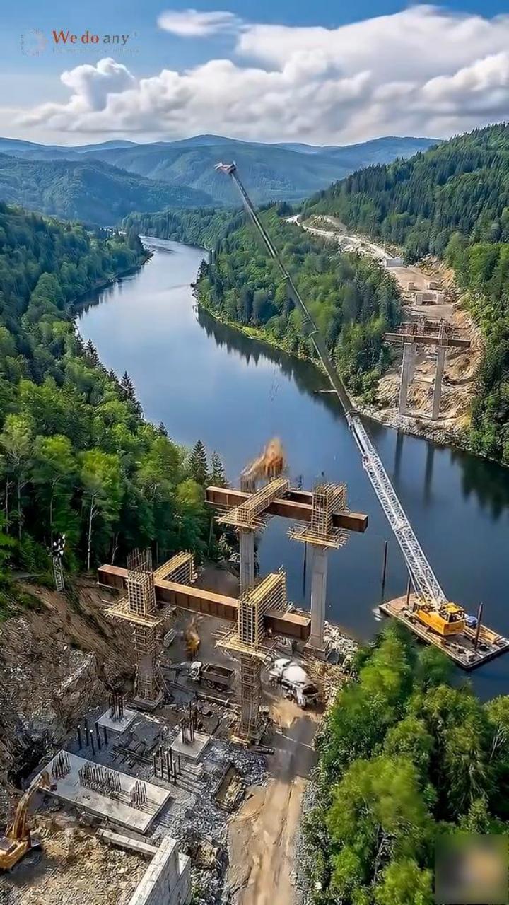
The Tengyue Tunnel, with a total length of 10.35 kilometers, is a critical node in the National Highway 219 renovation and expansion project. Located in the collision suture zone between the Indian Ocean Plate and the Eurasian Plate, the tunnel has a maximum burial depth of 1,445 meters and must traverse multiple brittle fault zones and water-rich areas. Due to the inability to conduct comprehensive geological drilling before construction, builders face risks from unknown geological conditions.
The project's technical team adopted a comprehensive advanced prediction scheme based on geological survey methods, integrating multiple geophysical prospecting techniques. Technician Zhang Wen stated that advanced geological prediction is crucial for construction safety, requiring precise forecasting to flexibly adjust construction plans.
The technical team is equipped with three main types of geophysical prospecting equipment. Ground Penetrating Radar (GPR) captures reflected signals from subsurface media by emitting electromagnetic waves, capable of detecting up to 30 meters in intact rock masses, with the detection distance reduced to 25 meters in water-bearing fractured zones, used to identify surrounding rock properties and fracture development. A 3D GPR imager generates three-dimensional geological images within a range of 70 meters ahead and 40 meters around, visually presenting fractured zones and water-bearing areas. A Transient Electromagnetic Method (TEM) instrument captures low-resistivity anomaly zones by emitting pulsed magnetic fields, used to infer the location of water-bearing bodies, with a prediction distance of 100 meters in intact rock masses and up to 80 meters in high-water-content conditions.
During construction at the main tunnel exit, the technical team successfully detected the location of a water pocket ahead using the TEM method, based on which a grouting water-blocking plan was formulated, reducing total water inflow by 60% and preventing large-scale high-temperature water inflow incidents. The coordination of multiple geophysical prospecting methods and cross-validation of data have provided technical support for the continuous advancement of the Tengyue Tunnel project in Gaoligong Mountain.
This article is compiled by Wedoany. All AI citations must indicate the source as "Wedoany". If there is any infringement or other issues, please notify us promptly, and we will modify or delete it accordingly. Email: news@wedoany.com