en.Wedoany.com Reported - Recently, the "Liaoning Coastal Ship Routing System" was officially released and will be implemented from August 15, 2026, making Liaoning the first province in China to achieve full coverage of ship routing in its coastal waters. According to the new regulations, ships are prohibited from anchoring or engaging in activities such as fishing and aquaculture that obstruct navigation within the routing system and its terminal waters. This will achieve "spatial separation" between commercial vessel navigation and fishing operations, effectively ensuring maritime traffic safety.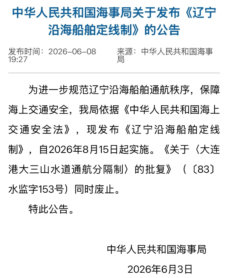
China's coastal waters have dense ship traffic, with commercial vessel routes intersecting fishing operation areas, leading to a high risk of collisions between commercial and fishing vessels, which has long been a challenge in maritime traffic safety supervision. With the support of the Ministry of Transport and the People's Government of Liaoning Province, and under the guidance of the Maritime Safety Administration of the Ministry of Transport, the Liaoning Maritime Safety Administration visited departments including the Agriculture and Rural Affairs, Natural Resources, and the local governments of six coastal cities in Liaoning. Through research and extensive consultation, based on the characteristics of ship traffic flow and navigation conditions, the "Liaoning Coastal Ship Routing System" was formulated.
The ship routing system is an internationally recognized maritime traffic management model that regulates ship navigation order and reduces risks of head-on and crossing encounters by designating traffic separation schemes, precautionary areas, and avoidance areas. In simple terms, it acts like "lane markings," enabling ships to "stay in their own lanes." The full-coverage ship routing system for Liaoning's coastal waters builds on the existing two routing systems—the Laotieshan Waterway Ship Routing System and the Dalian Port Dasanshan Waterway Traffic Separation Scheme—by upgrading and integrating existing coastal public routes into four ship routing systems: the Northern Yellow Sea, Laotieshan Waterway to Northern Bohai Sea, Laotieshan Waterway to Northwestern Bohai Sea, and Laotieshan Waterway to Western Bohai Sea (Liaoning Section), forming a "2+4" full-coverage ship routing navigation network for Liaoning's coast.
Implementing the routing system involves reallocating marine resources. The Liaoning Maritime Safety Administration adhered to scientific planning, with the actual water area used by the routing system approximately 9,000 square kilometers, accounting for about one-eighth of Liaoning's nearshore waters. At the same time, route widths were reasonably defined to minimize impacts on aquaculture.
To address the issue of relocating existing floating raft aquaculture and bottom-sowing aquaculture within the routing system waters, the Liaoning Maritime Safety Administration adopted a "one city, one discussion" and "one case, one discussion" approach, urging local governments to resolve issues through measures such as three-dimensional layered sea use management, sea area swaps, and equivalent compensation, maximizing the protection of fishermen's rights.
Since January 1 of this year, the Liaoning Maritime Safety Administration has been guiding ships to navigate within the proposed routing system waters. Crew members who frequently sail along the Liaoning coast have deeply felt the changes in the navigation environment since the guidance began: "The navigation order has become more standardized, with less need to frequently avoid operating vessels, effectively improving navigation efficiency."
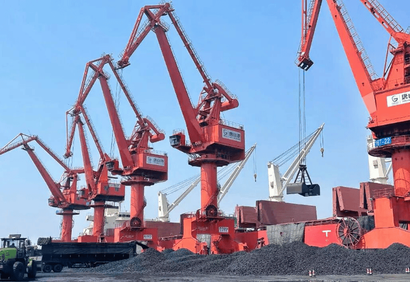
"Improved ship navigation efficiency means that port turnaround efficiency will also increase simultaneously, effectively reducing the 'idle time' of berths and ensuring smoother cargo turnover." Multiple port and shipping enterprises in Liaoning believe that the implementation of the routing system will further optimize the shipping business environment in Liaoning, injecting strong momentum into the high-quality development of the port and shipping economy.
"With the routing system, when fishing or resting, we no longer worry about potential collisions, and we feel much more at ease." Local fishermen have calculated the "safety benefits" and strongly support the implementation of the routing system.
In the next step, the maritime authorities will ensure the smooth implementation of the "Liaoning Coastal Ship Routing System," guaranteeing its stable rollout and efficient operation. At the same time, they will accelerate the designation of ship routing systems in other key sea areas of China, shaping a standardized and efficient new pattern of navigation safety along China's coast.
This article is compiled by Wedoany. All AI citations must indicate the source as "Wedoany". If there is any infringement or other issues, please notify us promptly, and we will modify or delete it accordingly. Email: news@wedoany.com