China's PolyVision Releases PolyNav 4000A All-Scenario High-Precision Positioning Device
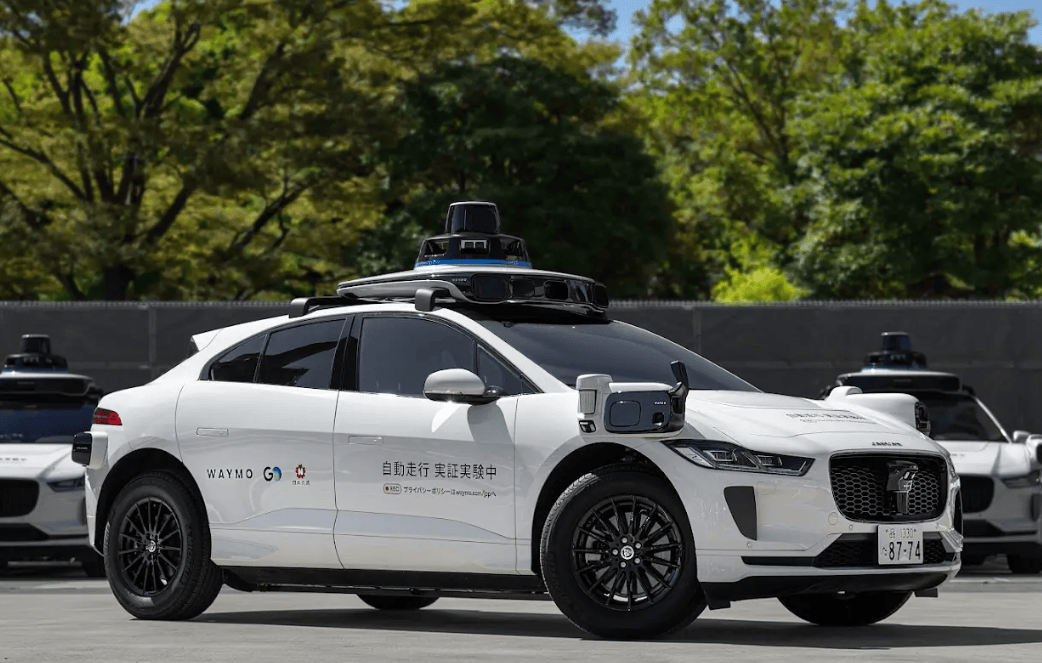
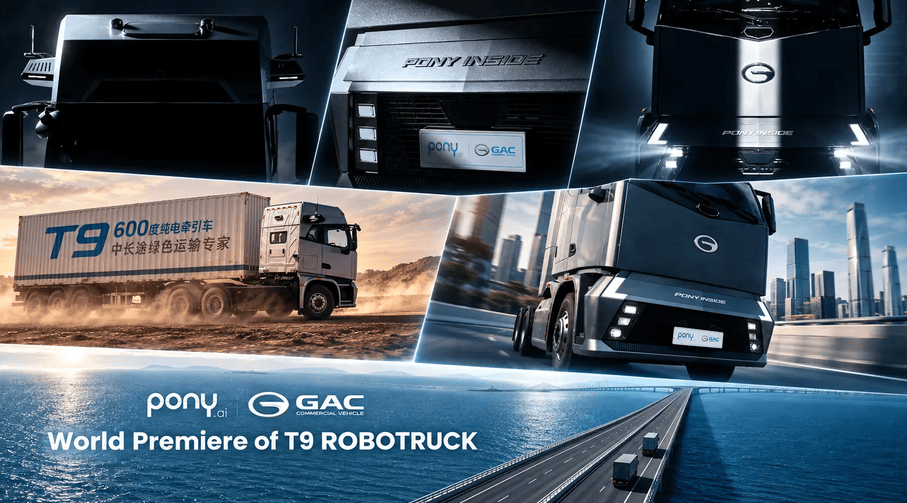
en.Wedoany.com Reported - Beijing PolyVision Technology Co., Ltd. recently officially launched the PolyNav 4000A multi-source fusion positioning device, a flagship product designed for large-scale commercial mass production and full operating conditions, empowering pan-outdoor unmanned systems. This device targets high-reliability mass production scenarios such as unmanned mining, port automation, L3+/L4 autonomous driving, and commercial service robots.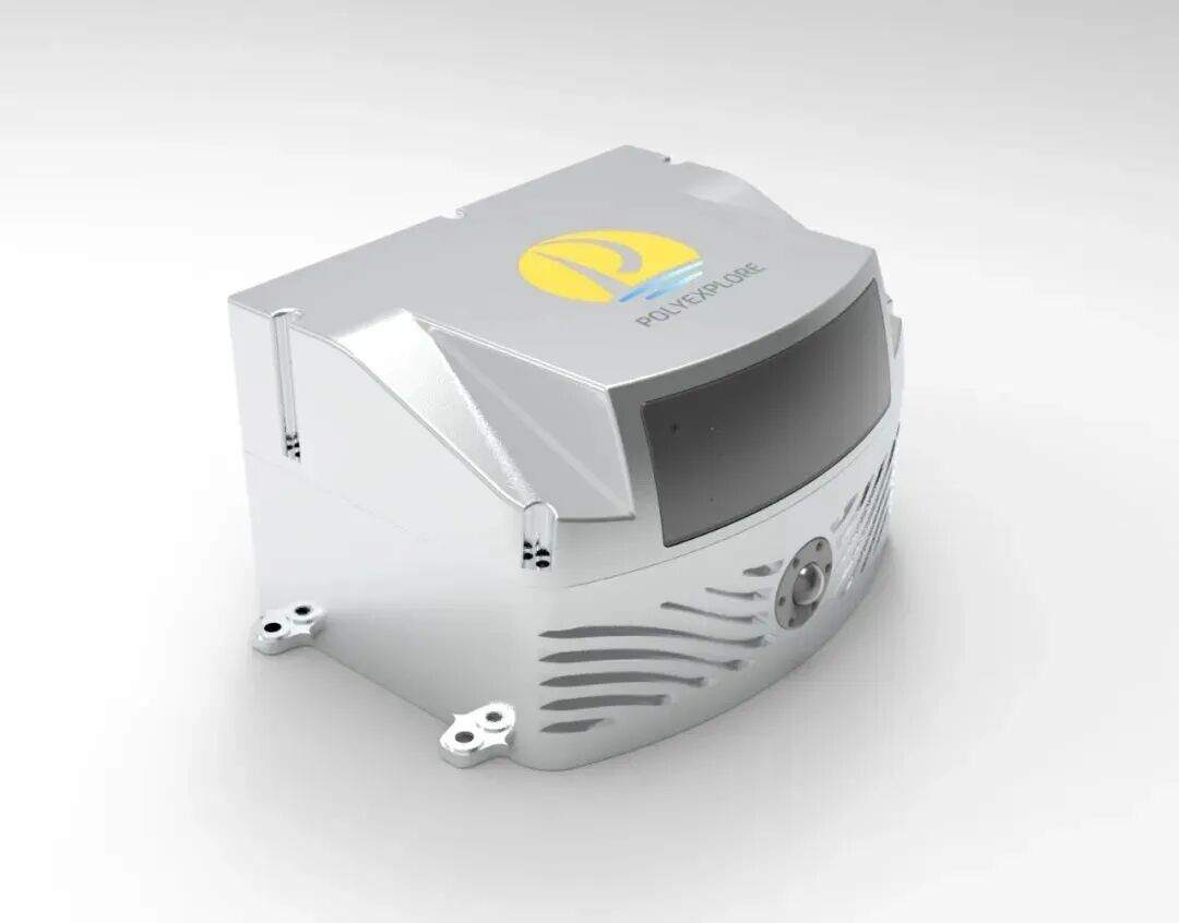
PolyVision is a high-tech enterprise specializing in high-precision navigation and multi-source fusion positioning technology. The PolyNav 4000A adopts a self-developed multi-source fusion tightly coupled algorithm engine, deeply integrating Global Navigation Satellite Systems (GNSS), Inertial Measurement Units (IMU), LiDAR, visual sensors, and vehicle kinematics information in real time at a high frequency of 100Hz, achieving seamless centimeter-level autonomous positioning and high-precision real-time 3D mapping across all scenarios, both above and below ground, indoors and outdoors.
Building on the PolyNav 3000A's high-precision GNSS/INS tightly coupled technology, this device further introduces a "LiDAR + Vision + INS + Odometer" quadruple redundant architecture. When GNSS signals are lost, laser point clouds, visual features, and wheel speed/kinematic models achieve millisecond-level seamless takeover, with cumulative errors in satellite-denied scenarios such as underground garages, long tunnels, urban canyons, and indoors controlled to the centimeter level. The device's attitude output accuracy reaches 0.02 meters (RTK) for position, 0.03 m/s for velocity, 0.005° for roll/pitch, and 0.03° for heading.
In addition to precise positioning, the device is equipped with an edge-deployed self-developed AIGA (Generative Intelligent Behavior) algorithm, integrating AI perception and auxiliary decision-making functions such as intelligent perception of dump site reverse slopes, road edge extraction, boundary perception, and retaining wall recognition, achieving an integrated "positioning + perception + decision-making" system. The device features a high-performance LiDAR and a global shutter forward-facing camera, collecting spatial information in real time and completing 3D spatial reconstruction to generate dense point clouds with georeferenced information. It fully stores all raw sensor data, including laser, camera, GNSS, IMU, and vehicle/robot dynamics, supporting remote flexible access and post-processing, providing a complete data foundation for crowdsourced updates of high-definition maps and algorithm iteration.
The release of this device fills the technical gap in high-precision continuous positioning in complex industrial scenarios such as mines and ports, offering a more cost-effective spatial intelligence foundation for unmanned systems and embodied intelligent robots.
Related Products


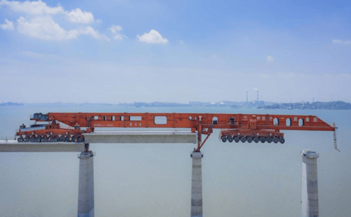
High-Speed Railway Lifting, Transporting, and Erecting Equipment: Integrated Transport and Erection Machine
Hanjiang Heavy Industry Co., Ltd. of China Railway 11th Bureau Group

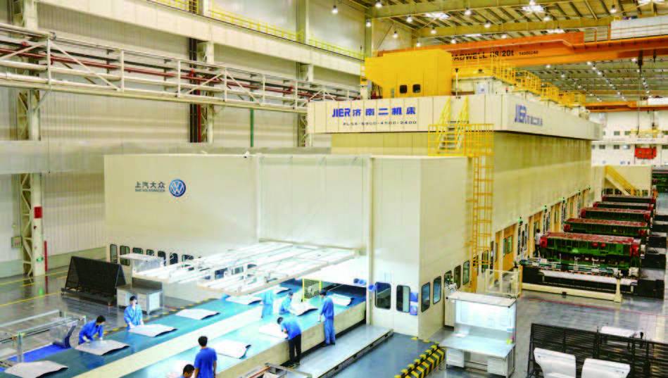
High-Speed Flexible Fully Automatic Stamping Production Line
JIER Machine-Tool Group Co., Ltd.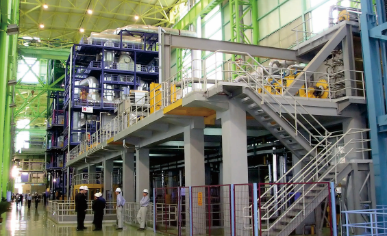
Strip Coating and Plating Production Line Equipment
MCC-SFRE HEAVY INDUSTRY EQUIPMENT CO., LTD.

Pneumatic high-pressure wear-resistant ball valve
Zhejiang Deca Control Valve Meter Co., Ltd.