Germany's EUSI Upgrades Satellite Ground Segment and Cloud Infrastructure
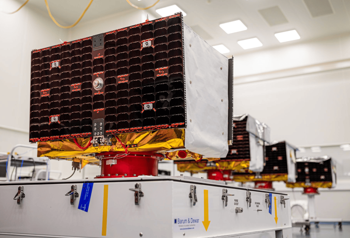
en.Wedoany.com Reported - German satellite imagery service provider European Space Imaging (EUSI) has recently completed an upgrade of its satellite ground segment and cloud infrastructure, covering mission software, cloud architecture, data processing pipelines, image delivery facilities, and ground communication systems. The facilities, located near Munich, Germany, are operated in collaboration with the German Aerospace Center (DLR) and handle satellite mission command uploads, data downlinks, image processing, and delivery. This upgrade has been integrated into EUSI's ATOM web and API platform and operates in coordination with the Rapid Satellite Intelligence Program RSINT.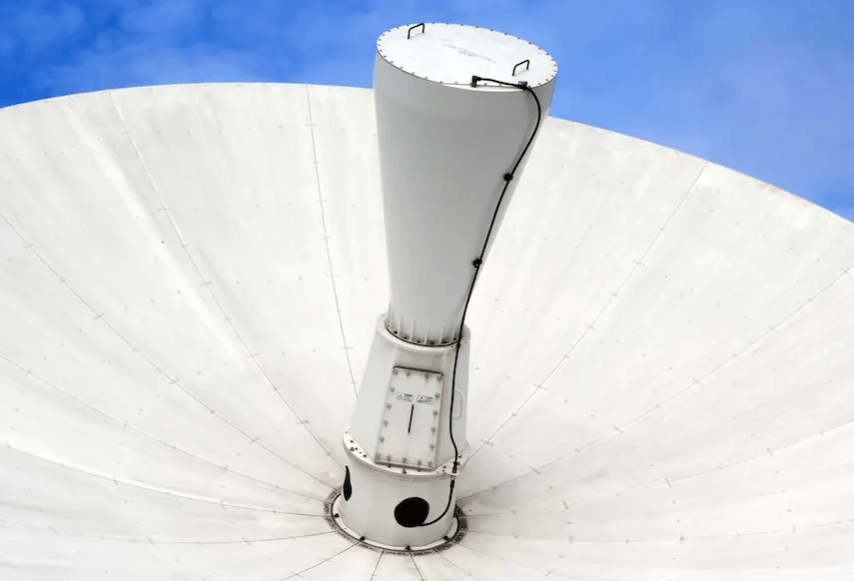
Following the upgrade, users can submit tasks up to 30 minutes before satellite image acquisition, and after the satellite captures the images, delivery can be completed in as little as 15 minutes. The process of "task submission—satellite capture—ground reception—data processing—result delivery," which previously could take hours, has been compressed to minutes. A real-world example released by EUSI shows that a task in the Melilla region of Spain was submitted via the ATOM platform at 10:17, satellite capture occurred at 10:51, and image delivery was completed at 11:01, with the entire process from data acquisition to delivery taking approximately 10 minutes.
The ground segment is the core facility connecting orbiting satellites to ground users. EUSI currently provides uplink and downlink services for the Vantor satellite constellation in Europe, capable of receiving 30-centimeter resolution optical satellite imagery via German ground facilities. This project simultaneously upgraded mission control software, cloud processing environments, and data delivery systems, enabling satellite command transmission, image downlink, automated processing, and user access to be completed within a single infrastructure. The system can also integrate high-resolution synthetic aperture radar and radio frequency satellite data, forming a multi-sensor data system comprising optical, radar, and RF information.
This EUSI upgrade also strengthened the connection between German ground facilities and European emergency data platforms. German geospatial company GAF has integrated the ATOM application programming interface into the Copernicus Rapid Response Platform, allowing users to perform satellite image catalog searches, direct task ordering, order status tracking, and data reception through a unified portal. The platform currently supports hundreds of satellite task scheduling and data delivery activities across Europe, primarily used for time-sensitive scenarios such as emergency management and security monitoring.
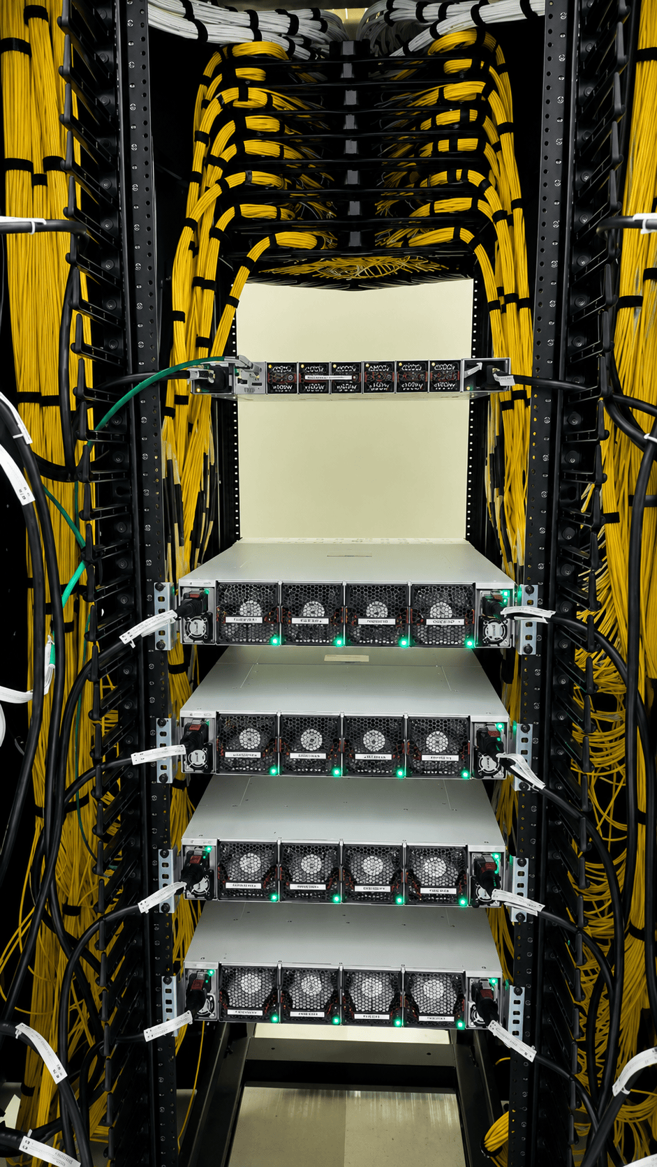
In terms of construction scope, this project is not merely an update of a single satellite imagery software but a comprehensive upgrade of satellite ground reception, mission control, cloud processing, and data delivery components. The ground segment near Munich, Germany, handles connections with orbiting satellites, the ATOM platform manages task submission and status tracking, the cloud infrastructure processes and distributes images, and the API interface connects to external emergency and security systems. With these facilities operational, EUSI has established a complete ground infrastructure chain in Europe, from satellite task transmission and image downlink to final data delivery.
Related Products

Conveyor Belt Intelligent Monitoring System
LUO YANG WIRE ROPE INSPECTION TECHNOLOGY CO., LTD.
TWP16 P-Band Tropospheric Wind Profile Radar
China Huayun Meteorological Technology Group Co., Ltd.
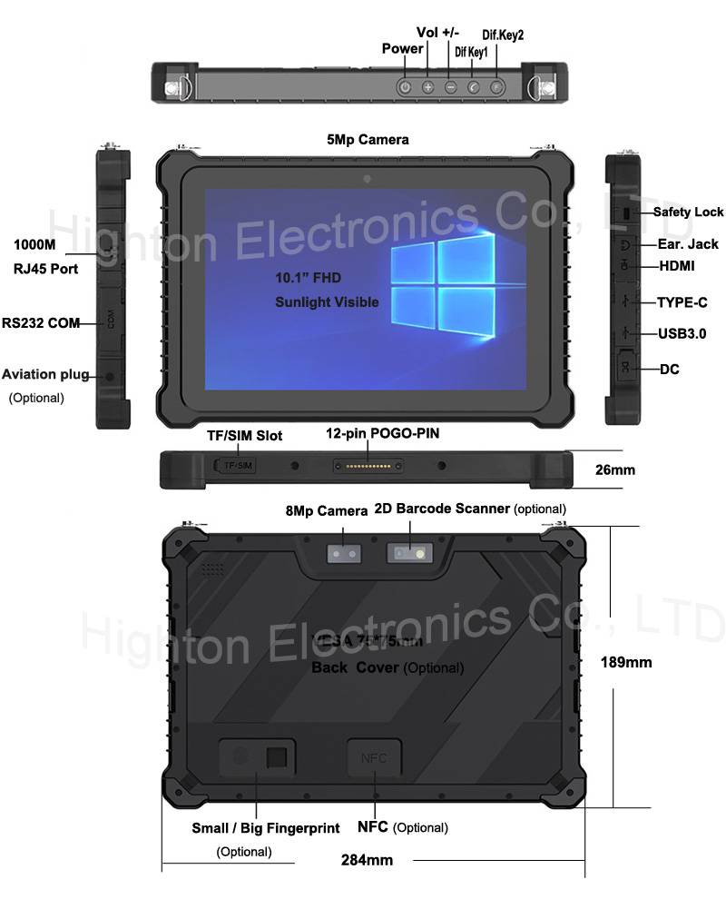
Hot Selling 10 Inch Intel N5100 I5 I7 FHD 8 +128GB 16+256GB Win10 Pro Win11 Pro 4G 5G Rugged Tablet PC Pad with NFC Barcode
Highton Electronics Co., Ltd.

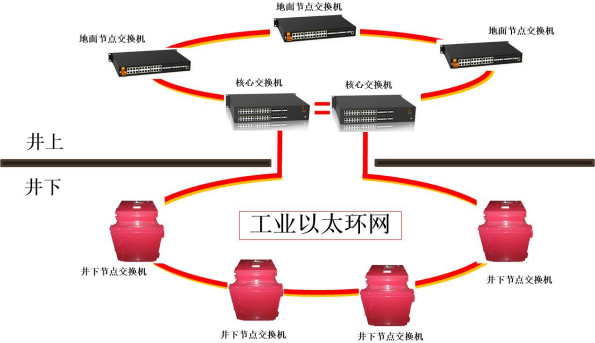
Mine Explosion-proof and Intrinsically Safe Industrial Ethernet Ring Network (10 Gigabit/Gigabit)
Chongqing Mas Sci&Tech Co., Ltd.

Multi-function Marine Monitoring Low-altitude Detection Radar Sea-air Boundary Ocean Dynamic Environment Measurement
Chengdu Dixin Technology Co., Ltd.
20 Inch 1600*900 Full HD 60Hz TFT LED Monitor with VGA and DP Interfaces for Desktop Computers-Business Use
Guangzhou Zanying Optoelectronics Technology Co., Ltd.