Magnetic Survey Defines Structural Corridor at GoldHaven's Canada Project, Plans 5,000-7,000 Meter Drill Program
en.Wedoany.com Reported - GoldHaven Resources Corp. has defined a north-south continuous magnetic and structural corridor after completing and interpreting airborne magnetic survey data at its Magno project in the Cassiar region of northern British Columbia, Canada. This corridor is associated with known tungsten, silver, lead, zinc, copper, and molybdenum mineralization within the project and has identified multiple previously undetected magnetic anomalies and structural intersections.
The high-resolution airborne QMAGT magnetic survey, conducted by Dias Geophysical, totaled 2,320.7 line kilometers with a line spacing of 100 meters. The company considers this the most detailed modern airborne magnetic dataset ever collected for the project. The magnetic survey results indicate that the scattered historical mineralized showings within the Magno project are not isolated but lie within a single structural corridor, potentially representing a larger mineralized system.
Historical mineralized occurrences within this corridor include surface grades of up to 2,370 g/t silver, 6,550 ppm tungsten, and 334 ppm indium. The company reports that the indium grade is among the highest recorded in the Cassiar region. Both tungsten and indium are recognized as critical minerals by Canada and the United States. Additionally, the Kuhn-Dead Goat tungsten skarn corridor has a historical estimate of approximately 616,500 tonnes at 0.48% WO₃, spanning four modeled mineralized zones. The company explicitly states that this historical estimate should not be considered a current mineral resource or reserve.
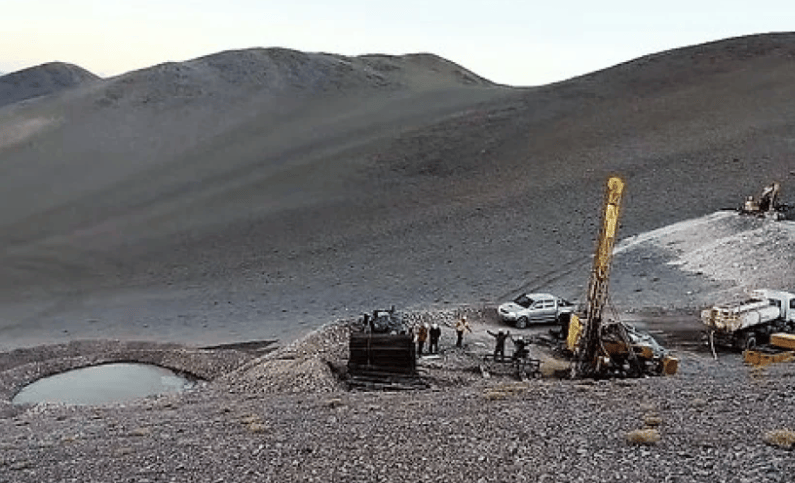
Based on this new geological framework, GoldHaven has engaged Northtech Drilling for an initial 5,000 to 7,000 meter diamond drilling program, expected to mobilize around August 1, 2026, subject to final exploration permits. CEO Rob Birmingham stated that the magnetic data has, for the first time, revealed how the historic Kuhn tungsten skarn, the Magno and D-zone CRD systems, and the Cassiar Moly target fit within a single regional structural framework, enabling the company to systematically map, model, and drill them.
The company emphasizes that magnetic data measures magnetism, not mineralization itself, and that magnetic anomalies are conceptual exploration targets that do not prove the presence of metals. Drilling is a critical step in validating the structural theory. Currently, magnetic data is being integrated with geological mapping, historical drilling, and surface geochemical data to determine final drill hole locations, while exploration and geochemical follow-up are planned for the Storie molybdenum occurrence and the Cassiar Moly target.
Related Products








Linyi Steel Investment Special Steel 2.7 Million Tons per Year High-quality Special Steel Project
Capital Engineering & Research Incorporation Limited
Comprehensive Mining Automation Control System
Beijing Tianma Intelligent Control Technology Co., Ltd.
CITIC Heavy Industries Metallurgical Equipment Steel Smelting Engineering Equipment
CITIC Heavy Industries Co., Ltd.
New Environmentally Friendly Green Potassium Salt Collector
Chonfar Engineering and Technology Co., Ltd.
Integrated Excavation and Anchoring Machine (EJM Series)
China Railway Construction Heavy Industry Corporation Limited