Four-lane New Build Option Confirmed for Bribie Island Bridge in Australia
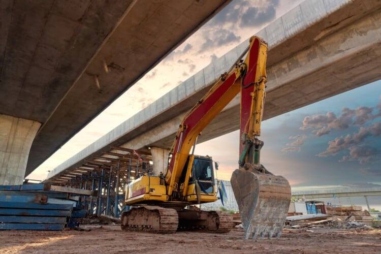
en.Wedoany.com Reported - On October 18, the Queensland Government of Australia announced the preferred design for the Bribie Island Bridge upgrade project, planning to build a new two-way four-lane highway bridge north of the existing bridge, with two traffic lanes in each direction, doubling the capacity of the existing bridge. The existing two-lane bridge will be retained and converted into a dedicated corridor for pedestrians, cyclists and other non-motorized users. The project is funded by the Queensland Government and is currently in the detailed design phase.
The new bridge will cross the Pumicestone Passage, connecting Sandstone Point on the Queensland mainland side with Bribie Island. The works also include widening the Caboolture–Bribie Island Road between Bestmann Road East and Benabrow Avenue to four lanes, realigning the intersection at Sylvan Beach Esplanade, and adding traffic signals at the Sandstone Point Hotel access. The bridge will also be equipped with shoulders, safety barriers and associated drainage, lighting and marine ancillary facilities.
The existing Bribie Island Bridge was completed in 1963 and is the road link connecting the island with the Queensland mainland. A business case published in April 2025 had proposed a new two-lane bridge while retaining the original bridge for motor vehicle traffic. The preferred design announced this time has been adjusted so that the new bridge carries all four lanes of motor vehicle traffic, with the original bridge converted to a walking and cycling corridor. The investment estimate in the previously published project business case was AUD 756.56 million; the final construction cost of the latest four-lane option remains subject to the results of detailed design.
The Queensland Department of Transport and Main Roads has conducted public consultation on the bridge option and related zoning adjustments for the Moreton Bay Marine Park, with feedback open until November 27. The project is concurrently carrying out geotechnical investigations, hydrological and seabed surveys, underground utility investigations and environmental assessments, and the results of these investigations will be incorporated into the detailed design and statutory approval processes.
Related Products
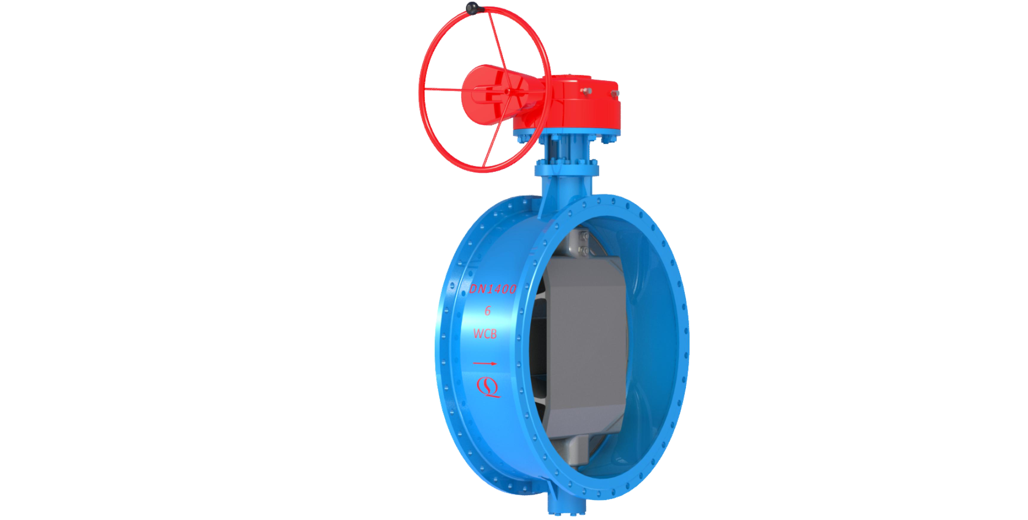

Bidirectional Metal Hard Sealed Seawater Butterfly Valve
Henan Quanshun Flow Control Science & Technology Co., Ltd.

Industrial and Commercial Point-Type Gas Detector
Jinan Benan Technology Development Co., Ltd.



West China Xiamen Hospital of Sichuan University
Wuhan Huakang Century Clean Technology Co., Ltd.