en.Wedoany.com Reported - Geoscience Australia has completed the national rollout of the AUSTopo 1:250,000 Digital Topographic Map Series, providing free and up-to-date national map coverage. This digital map series is released via an online platform, achieving national-scale mapping where one centimeter on the map corresponds to 2.5 kilometers on the ground. Users can freely download, print, or use the maps offline on mobile devices, enhancing accessibility for industry and regional users.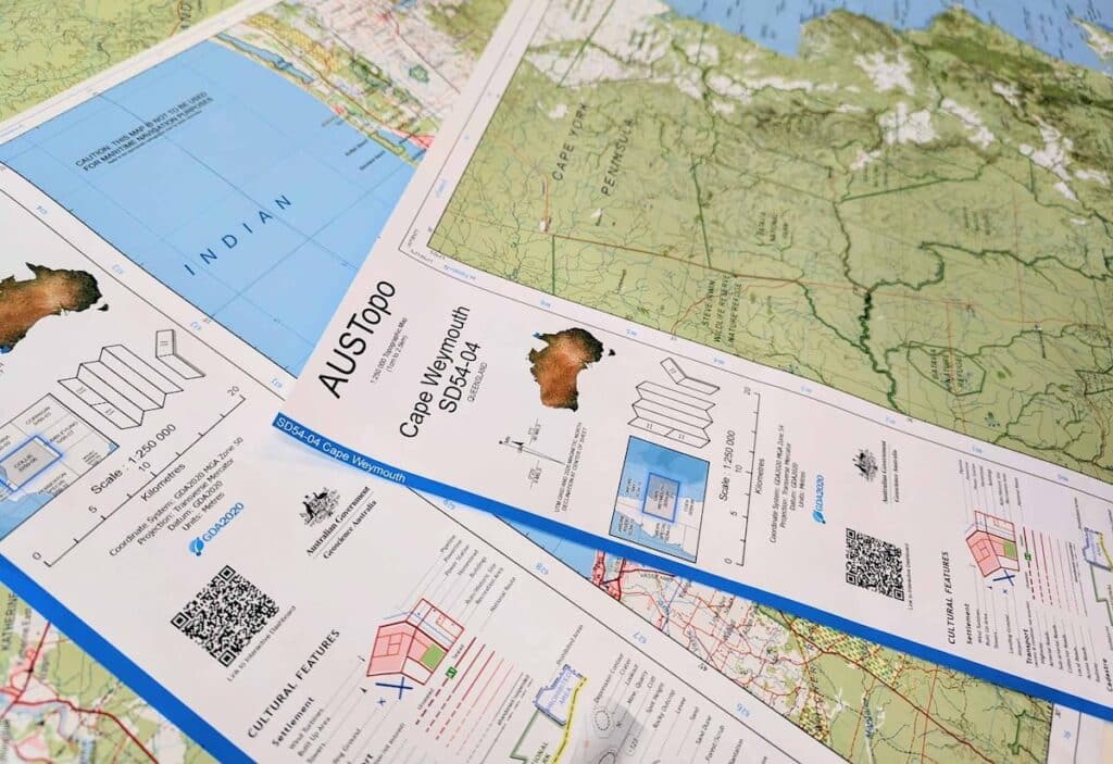
Lisa Bush, Head of the National Location Information Branch at Geoscience Australia, stated that this release marks the modernization of the national topographic library. She said, "This is Australia's national topographic library, upgraded for portability. Users can browse the full catalog, download the latest or older editions, print on demand, or add maps to tablets or phones for offline use—all without any cost."
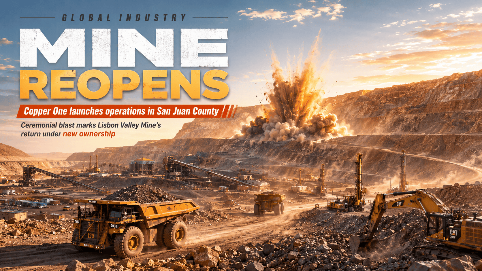
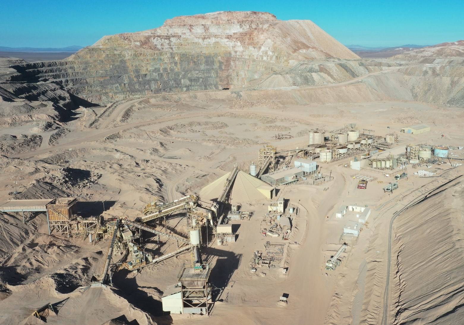
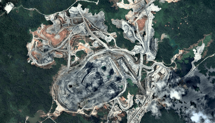
Since 2023, over 500 maps in this digital series have been updated, with ongoing revisions planned to ensure accuracy. The dataset is licensed under Creative Commons Attribution 4.0, supporting reuse in industry, research, and government sectors, while older versions remain available for historical comparison. This digital map series is expected to aid activities in the mining sector, such as exploration planning, infrastructure development, and logistics in remote areas.
Geoscience Australia noted that the AUSTopo series provides decision support for policy formulation, engineering implementation, environmental management, and emergency response. It facilitates fieldwork and regional planning through accessible, consistent national data. The release of the digital map series coincides with Geoscience Australia's celebration of 80 years of geological and geophysical operations. As part of the $3.4 billion "Resources Australia Prosperity" initiative, the agency has launched a new 10-year strategy.
As an institution, Geoscience Australia celebrates its 25th anniversary, having commenced under its current name in 2001, inheriting the functions of the Mineral Resources, Geology, and Geophysics Bureau established in 1946, which aimed to support and revitalize Australia's post-war mining industry.
This article is compiled by Wedoany. All AI citations must indicate the source as "Wedoany". If there is any infringement or other issues, please notify us promptly, and we will modify or delete it accordingly. Email: news@wedoany.com