en.Wedoany.com Reported - Dimension Network learned from the Ministry of Natural Resources today (14th) that the China Geological Survey recently officially released the results of marine geological surveys conducted in China's eastern waters over the past two decades. A detailed "Seafloor Chemical Element Map" has been compiled, providing precise data support for coastal zone and marine spatial planning, ecological environment protection, and resource exploration.
Through this systematic investigation and research, the scientific team integrated measured data and machine learning data from over 20,000 stations of surface sediments, forming the geochemical dataset with the broadest coverage, most comprehensive data dimensions, and highest quality and reliability for China's eastern waters to date. This achievement has realized a comprehensive geochemical analysis of sediments from land to sea across China's eastern waters, equivalent to conducting a thorough "elemental health check" for the seafloor. Ultimately, researchers were able to map the locations, concentrations, and distribution patterns of dozens of chemical elements such as iron, manganese, copper, and rare earths, forming the "Geochemical Atlas of Sediments in China's Eastern Waters," which serves as the "master navigation chart" for the development and protection of China's eastern marine areas.
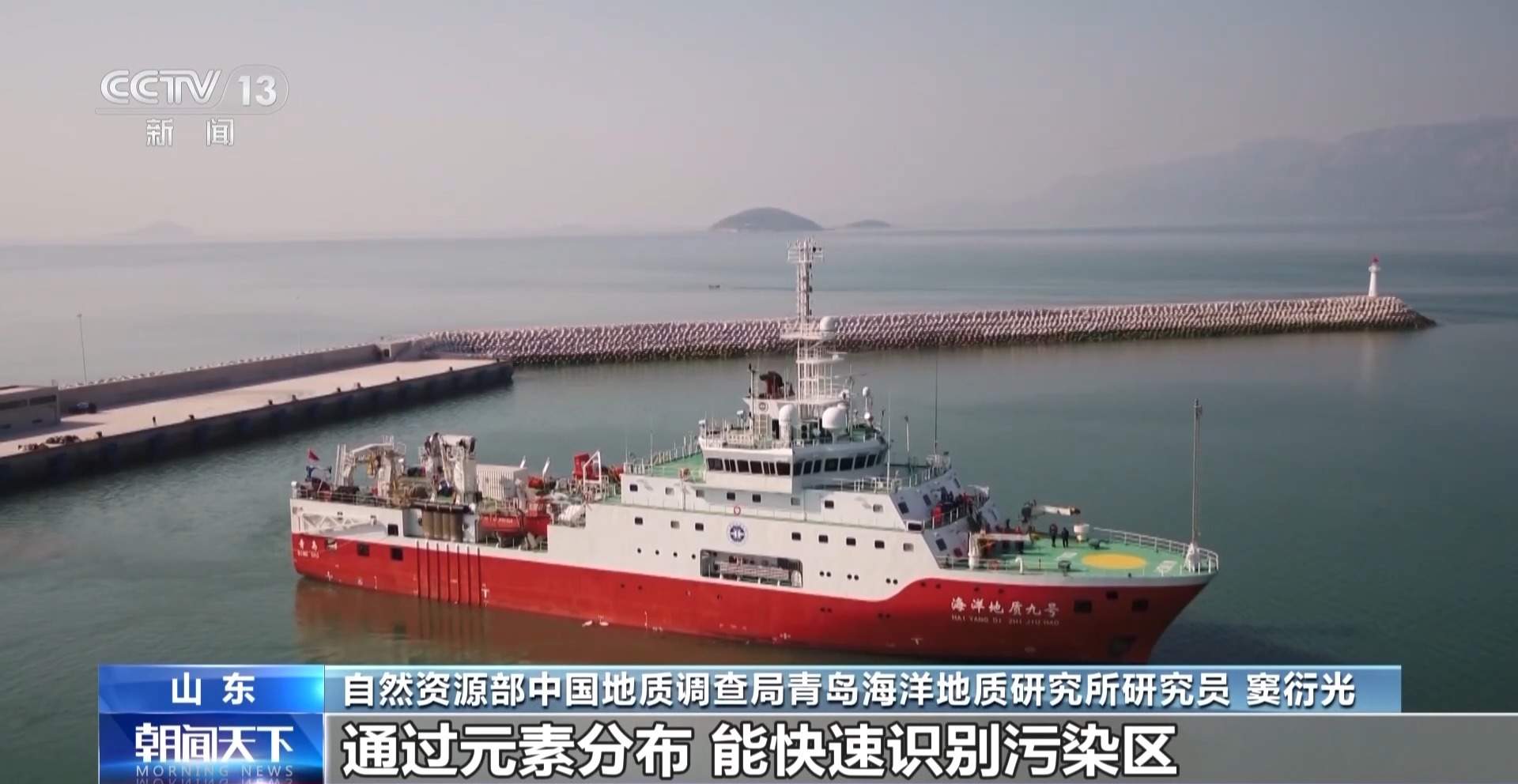
Dou Yanguang, a researcher at the Qingdao Institute of Marine Geology, China Geological Survey, Ministry of Natural Resources: Through the distribution of elements, we can quickly identify polluted areas and ecologically sensitive zones, delineate marine ecological protection red lines, control marine pollution and risks, and also precisely locate seabed mineral resources, reducing blind exploration. At the same time, it can facilitate scientific research, providing data support for scientists to understand the past and present of the ocean and decipher the codes of Earth's evolution.
It is reported that China's eastern waters include the Bohai Sea, Yellow Sea, East China Sea, etc., which are key maritime areas connecting the Eurasian continent and the Pacific Ocean. The layers of silt and biological remains accumulated on the seabed are like a thick "seafloor diary," faithfully recording information such as continental drift, climate change, and river course shifts over millions of years. This research fills the gap in systematic geochemical mapping of sediments in China's eastern waters and significantly enhances China's academic discourse power in the global study of marginal seas.
This article is compiled by Wedoany. All AI citations must indicate the source as "Wedoany". If there is any infringement or other issues, please notify us promptly, and we will modify or delete it accordingly. Email: news@wedoany.com