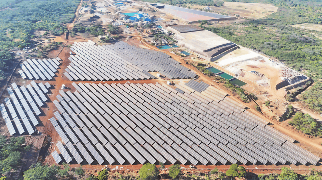
en.Wedoany.com Reported - The current international landscape is unpredictable, and the security of energy transport routes directly impacts the basic energy supply of all countries. The global energy arteries are primarily composed of onshore oil and gas pipelines and maritime shipping lanes. Controlling these chokepoints means holding the energy lifeline.
Strait of Malacca:
The Busiest Oil Transport Route
Located between the Malay Peninsula and the island of Sumatra in Southeast Asia, the Strait of Malacca is jointly administered by Singapore, Malaysia, and Indonesia. It serves as a "maritime crossroads" connecting the Indian Ocean and the Pacific Ocean. The strait is approximately 1,080 kilometers long, with a maximum width of 370 kilometers in the northwest. At its narrowest point in the Singapore Strait to the southeast, it is only 37 kilometers wide. Over 23 million barrels of oil pass through daily, accounting for 29% of global seaborne oil trade, and 9.2 billion cubic feet of liquefied natural gas (LNG) transit daily.
The Strait of Malacca is not only a vital passage for oil and other energy resources entering Asia but also a crucial route supporting regional and global trade, making it the world's busiest strait. The number of oil tankers entering the South China Sea via this strait is three times that passing through the Suez Canal and five times that transiting the Panama Canal. Major Asian economies, including China, Japan, South Korea, and Singapore, heavily rely on this route for their industrial, transportation, and power energy supplies, earning it the title of "maritime lifeline" for Asian nations.
Recent developments in the Middle East have disrupted traffic through the Strait of Hormuz, transmitting shipping pressures outward. Against this backdrop, the strategic sensitivity of the Strait of Malacca has significantly increased, putting pressure on littoral states regarding transit efficiency, port transshipment, navigational safety, and strait governance.
Strait of Hormuz:
The Most Strategically Significant Oil Route
If the Strait of Malacca is the energy "lifeline" for Asian countries, then the Strait of Hormuz is the shared maritime energy artery for the world's major economies. The Strait of Hormuz is a narrow waterway connecting the Persian Gulf and the Gulf of Oman, located between southern Iran and the Arabian Peninsula. It stretches 150 kilometers east-west, with a width of 56 to 125 kilometers north-south. At its narrowest point between islands, it is only 39 kilometers wide, with an average depth of 70 meters, making it one of the world's most important energy routes.
According to data from the International Energy Agency (IEA), approximately 20 million barrels of crude oil and petroleum products pass through daily in 2025, accounting for about 25% of global seaborne oil trade. The total volume of LNG transported via the Strait of Hormuz in 2025 exceeds 112 billion cubic meters, representing roughly 20% of global LNG trade.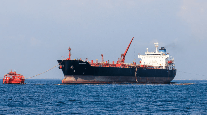
Regarding alternative routes, there are virtually no viable bypass options for the Strait of Hormuz. Resource-rich countries such as Saudi Arabia, Iraq, Kuwait, the UAE, and Qatar all transport their oil and gas to international markets through this waterway. Consequently, any disruption to traffic flow through this strait would have a major impact on the global energy market. Since the outbreak of the US-Israel-Iran conflict, the shipping crisis in the Strait of Hormuz has evolved into a historic global energy supply disruption.
Cape of Good Hope: The Alternative Route Regains Glory
The Cape of Good Hope is a famous headland at the southwestern tip of Africa, connecting the Indian and Atlantic Oceans, located 52 kilometers north of Cape Town, South Africa. Known for frequent storms and rough seas, it was originally called the "Cape of Storms." Before the Suez Canal opened, all ships traveling between Asia and Europe passed via the Cape of Good Hope.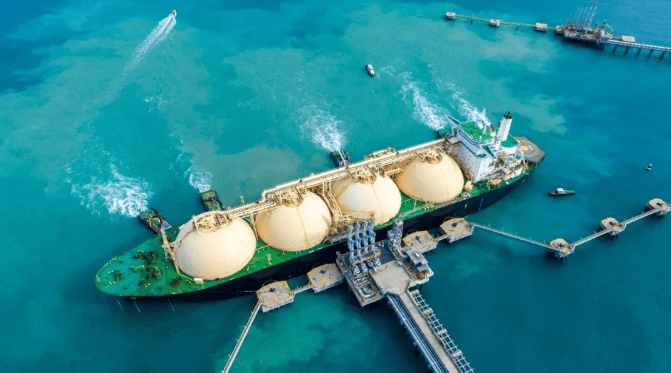
As security concerns over oil transport routes in West Asia and North Africa have intensified, oil traffic volumes between the Cape of Good Hope and the Red Sea corridor have shifted inversely. In 2023, the daily oil transport volume via the Cape of Good Hope was about 6.2 million barrels. This surged by 50% in 2024, with daily volumes accounting for approximately 8% to 10% of global seaborne oil trade. One-third of this crude oil originates from the United States, nearly one-quarter from South America, and a significant portion of Middle Eastern crude has also been rerouted this way. As of the first half of 2025, the daily oil transport volume via the Cape of Good Hope has risen to about 9.1 million barrels, representing roughly 11.4% of global seaborne oil trade.
Denmark Strait:
Gateway for Crude Oil Exports from Northern Resource-Rich Countries
The Denmark Strait lies between Iceland and Greenland (a territory of Denmark), connecting the Arctic Ocean to the north with the Atlantic Ocean to the south. It is approximately 483 kilometers long and about 290 kilometers wide at its narrowest point. It is a crucial maritime route linking the Baltic Sea and the North Sea, and a key node in the evolving European energy trade landscape. With the development and utilization of Arctic resources, the strategic and geographical importance of the Denmark Strait is increasingly prominent.
After 2022, impacted by geopolitical shocks, countries such as the United States, Norway, the United Kingdom, and Egypt transported more oil via the Denmark Strait to Eastern and Northern European nations like Poland and Finland. Concurrently, with the rapid increase in US LNG export capacity, the US has become a major natural gas supplier to countries east of the Denmark Strait. In the first half of 2025, the daily transport volume through the Denmark Strait was 4.9 million barrels of oil and 1.6 billion cubic feet of LNG, most of which was used to fill the gap in pipeline gas supplies to Europe that has persisted since 2022.
Suez Canal:
The Shortest Sea Route Between Europe and Asia
The Suez Canal and the Bab el-Mandeb Strait guard the northern and southern ends of the Red Sea, respectively. Located in northeastern Egypt, the Suez Canal is an artificial waterway connecting the Mediterranean Sea and the Red Sea. It is approximately 193 kilometers long and serves as a strategic passage for crude oil, petroleum products, and LNG from the Persian Gulf destined for Europe and North America. The Suez Canal provides the shortest sea route between Europe and Asia, bypassing the Cape of Good Hope in Africa and saving 8,000 to 10,000 kilometers of voyage.
The traffic volume through the Suez Canal has fluctuated in tandem with changes in the Bab el-Mandeb Strait. In 2020, the daily oil transport volume via the Suez Canal was about 5.4 million barrels, increasing to 8.8 million barrels in 2023. Following the intensification of disruptions along the Red Sea route, the daily volume dropped to approximately 4.8 million barrels in 2024 and remained around 4.9 million barrels in the first half of 2025.
Bab el-Mandeb Strait:
Maritime Throat of Three Continents: Europe, Asia, and Africa
The Bab el-Mandeb Strait, located between Yemen and the Horn of Africa, connects the Red Sea with the Indian Ocean. It is the maritime throat for traffic between Europe, Asia, and Africa, and a vital route for oil transport. The strait runs northwest-southeast, is about 130 kilometers long, 26 to 32 kilometers wide, with an average depth of 150 meters, allowing fully laden Very Large Crude Carriers (VLCCs) to pass through.
In recent years, the volume of oil transported through the Bab el-Mandeb Strait first increased steadily and then declined. Data shows that from 2020 to 2023, the daily oil transport volume rose from 5.7 million barrels to 9.3 million barrels, after which this trend sharply reversed. From 2024 to the first half of 2025, the daily volume was between 4.1 million and 4.2 million barrels. The primary reason for the decrease in traffic is geopolitical security concerns, as frequent attacks on vessels have led many ships to reroute around Africa, avoiding this waterway.
Turkish Straits: The World's Throat
The Turkish Straits, also known as the Black Sea Straits, are a narrow and strategically significant maritime passage connecting the Mediterranean Sea and the Black Sea. The straits are entirely controlled by Turkey and comprise the Bosphorus Strait, the Sea of Marmara, and the Dardanelles Strait. Stretching 361 kilometers in a northeast-southwest direction, they form the boundary between the continents of Asia and Europe.
Throughout history, the Turkish Straits have been a coveted strategic location, serving as a vital route for transporting oil and LNG from the Caspian Sea region and Russia to markets in Asia and Europe. Approximately 3.7 million barrels of crude oil and petroleum products are transported through the Turkish Straits daily, equivalent to about 5% of global seaborne oil trade.
Panama Canal: America's Shortcut
The Panama Canal connects the Pacific Ocean, the Caribbean Sea, and the Atlantic Ocean. It is one of the most important maritime shortcuts in the Americas and a crucial route for global trade in refined petroleum products, liquefied petroleum gas (LPG), and LNG.
Although oil and other liquid fuels transported via the Panama Canal in 2025 account for only about 3% of global seaborne energy trade, its strategic value lies in significantly shortening the transport distance from the US Gulf Coast to Asia and the west coast of South America. It is particularly suitable for medium and small-sized tankers transporting refined products.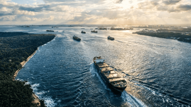
In recent years, driven by growing US LPG production and expanding Asian petrochemical demand, the flow of cargoes such as propane and ethane shipped via the Panama Canal to Asia has increased markedly, making the canal a key channel for US energy exports. Concurrently, LNG exports from the US Gulf Coast were also highly dependent on this canal.
Strait of Gibraltar: The Lifeline of the Mediterranean
The Strait of Gibraltar, located between the southern tip of Spain and northwestern Africa, is the only natural maritime passage connecting the Atlantic Ocean and the Mediterranean Sea. It is approximately 90 kilometers long and is a vital shipping route, often called the "Lifeline of the Mediterranean." It carries over 10% of global maritime trade, with about 300 ships passing through daily.
When the Suez Canal or Middle Eastern routes are blocked, this strait is the mandatory passage for ships rerouting around Africa. In terms of energy transport, the Strait of Gibraltar serves both as a transit route and a distribution hub. Millions of barrels of crude oil pass through daily, flowing into European refining systems, and numerous LNG carriers head to receiving terminals in Spain, France, Italy, and other countries. The area around the Bay of Cadiz and Algeciras on the northern shore of the strait in Spain concentrates refining, storage, and trading facilities, forming a major energy hub.
Bering Strait: The Shortest Sea Route Between Asia and America
The Bering Strait, located between Cape Dezhnev (the easternmost point of Russia) and Cape Prince of Wales (the westernmost point of the Americas), is the only waterway connecting the Arctic Ocean and the Pacific Ocean. It is also the shortest sea route between the continents of Asia and America.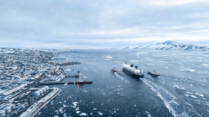
The Diomede Islands, situated in the middle of the strait, belong to Russia and the United States respectively, forming a natural boundary between Asia, Europe, and America, as well as the maritime border between Russia and the US. With global warming, the Bering Strait, as the throat of the Arctic shipping routes, is a potential golden waterway for trade connecting Asia, Europe, and America. It holds significant importance for oil and gas transport and has become a focal point of competition among major powers.
This article is compiled by Wedoany. All AI citations must indicate the source as "Wedoany". If there is any infringement or other issues, please notify us promptly, and we will modify or delete it accordingly. Email: news@wedoany.com