Beijing GAGO Data Technology Co., Ltd. Releases "ZhiTian" Earth Foundation Model
en.Wedoany.com Reported - Beijing GAGO Data Technology Co., Ltd. released the "ZhiTian—Earth Foundation Model" at the 2026 Global Digital Economy Conference. This model integrates multi-source spatiotemporal data and can be applied in fields such as agriculture and disaster monitoring. The conference was jointly hosted by the People's Government of Beijing Municipality, the Cyberspace Administration of China, the National Data Administration, Xinhua News Agency, the United Nations Development Programme, the United Nations Industrial Development Organization, the World Data Organization, and the Global Digital Economy Cities Alliance, focusing on topics such as Artificial Intelligence, space computing power, spatiotemporal digital governance, and industrial digitalization.
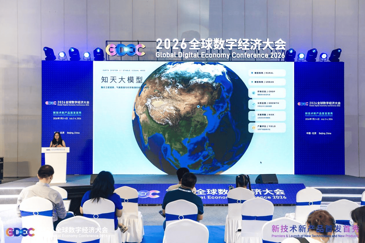
During the conference, the first Space Computing Power Conference was held concurrently. Dr. Zhang Gong, Chairman of GAGO Data, provided an interpretation of the "ZhiTian—Earth Foundation Model." This model is a large-scale world model focused on spatial and temporal perception, integrating multi-source spatiotemporal data from satellite remote sensing, meteorology, and the Internet of Things. Leveraging self-developed deep learning AI algorithms, it enables comprehensive intelligent perception, analysis, and prediction of scenarios such as surface crop growth, farmland changes, and natural disasters. Dr. Zhang stated that agriculture has become a primary application scenario for world models. The "ZhiTian" model technology has achieved large-scale deployment, covering over 500 million mu of land nationwide, benefiting major grain-producing areas and high-standard farmland, and is used for food security assurance, agricultural cost reduction and efficiency improvement, and digital management of farmland.
At the Beijing-Tianjin-Hebei Beidou Spatiotemporal Intelligence National Cooperative Development Forum, held alongside the conference, GAGO Data's GAGO Cloud Eye Spatiotemporal Information Business Platform was recognized as an innovative case of Beidou spatiotemporal information application. This platform focuses on scenarios such as agricultural insurance verification, agricultural condition surveys, agricultural project supervision, and low-altitude inspections. It integrates Beidou navigation, remote sensing imagery, GIS plot management, drone patrols, mobile terminal data collection, and cloud-based auditing capabilities. It aims to address issues in traditional agriculture, such as reliance on manual field work, verification difficulties, opaque supervision, and high traceability costs. Through a fully closed-loop process of "plot filing, task assignment, field verification, on-site collection, low-altitude patrol, and audit archiving," the platform achieves "locatable plots, process supervision, evidence retention, and traceable results." It enables on-site plot delineation, boundary correction, and attribute collection, standardizes field operation procedures, improves the quality and credibility of agricultural data, and provides a mature and replicable Beidou spatiotemporal integrated solution for digital and standardized agricultural management.
At this conference, GAGO Data showcased two applications powered by the "ZhiTian" Earth Foundation Model: the AI agent "Land Helper" for farmer production services, and the GAGO Cloud Eye platform for agricultural supervision and verification. Together, they form an agricultural digital technology matrix of "global satellite perception plus field-level practical implementation." GAGO Data stated that it will continue to advance innovation in world models and Beidou spatiotemporal integration technologies, expand the scope of agricultural digital applications, and empower rural revitalization and high-quality development of the digital economy through technology.
Related Products

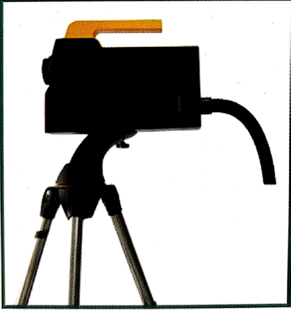
Automatic Aiming Laser Remote Obstacle Removal Robot
Pinggao Group Weihai High-Voltage Apparatus Co., Ltd.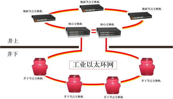
Mine Explosion-proof and Intrinsically Safe Industrial Ethernet Ring Network (10 Gigabit/Gigabit)
Chongqing Mas Sci&Tech Co., Ltd.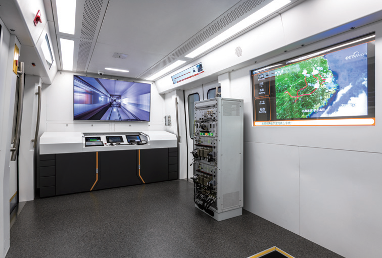
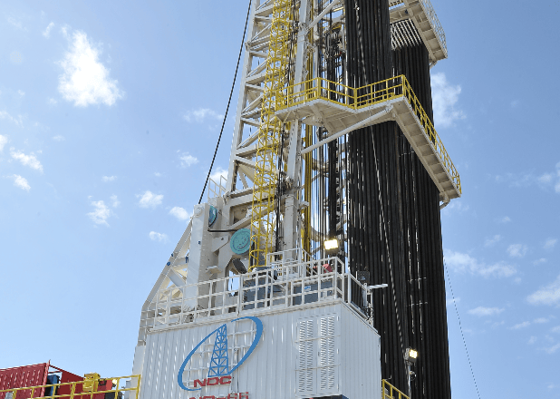

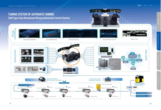
Comprehensive Mining Automation Control System
Beijing Tianma Intelligent Control Technology Co., Ltd.
MUX Series Communication Interface Device for Security and Stability Control System
Nanjing NR Electric Co., Ltd.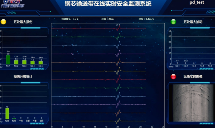
Conveyor Belt Intelligent Monitoring System
LUO YANG WIRE ROPE INSPECTION TECHNOLOGY CO., LTD.