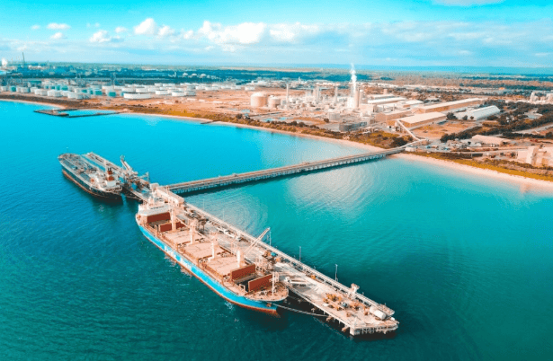
en.Wedoany.com Reported - On April 10, the Guangxi Maritime Safety Administration and the Department of Transport of Guangxi Zhuang Autonomous Region jointly issued an announcement, officially delineating the river-sea boundary of the Pinglu Canal. According to the announcement, the boundary is set based on the vertical projection line of the southern edge of the bridge deck of the Qinjiang Bridge on the G75 Lanhai Expressway. The area north of the boundary is defined as inland waters, subject to inland waterway regulations such as the "Regulations of the People's Republic of China on the Administration of Traffic Safety in Inland Waters"; the area south of the boundary is defined as sea area, subject to maritime laws and regulations such as the "Maritime Traffic Safety Law of the People's Republic of China".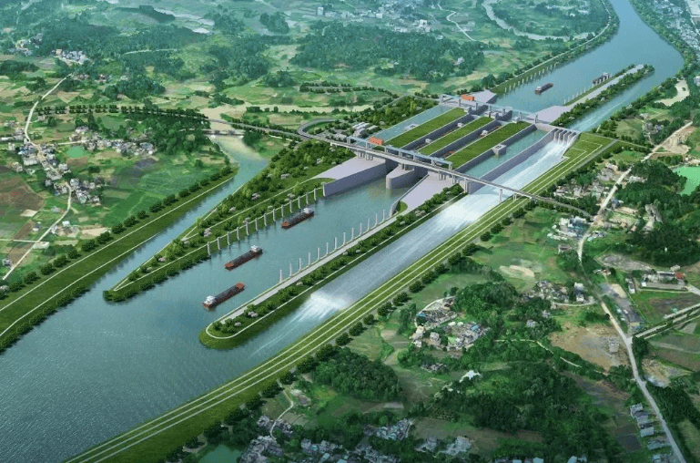
The estuary section of the Pinglu Canal is located at the transitional zone where inland waters meet the sea, which has presented issues such as ambiguous jurisdictional authority, unclear application of laws and regulations, and inconsistent standards for accident liability determination. To thoroughly resolve these issues, the Guangxi Maritime Safety Administration and the Department of Transport of Guangxi Zhuang Autonomous Region, based on laws and regulations including the "Maritime Traffic Safety Law of the People's Republic of China," the "Regulations of the People's Republic of China on the Administration of Traffic Safety in Inland Waters," and the "Regulations of Guangxi Zhuang Autonomous Region on the Protection and Management of the Pinglu Canal," and in conjunction with specialized research findings, officially made the above delineation.
It is understood that selecting the G75 Lanhai Expressway Qinjiang Bridge as the boundary baseline offers the following advantages: the bridge spans the canal, its geographical location is fixed and will not shift due to hydrological changes; the bridge structure is clearly visible, allowing crew members navigating to this point to intuitively perceive the change in waterway attributes; its coordinates are precise, facilitating law enforcement and patrols.
After the boundary is delineated, inland waterway vessels and seagoing vessels can freely switch navigation within the Pinglu Canal, which can fully unleash the canal's transportation capacity and achieve a balance between safety and efficiency. Meanwhile, the boundary line aids in the scientific planning of resources such as shoreline and anchorage areas, enabling "zoned management and precise allocation." It provides a clear regulatory boundary for port planning and industrial layout along the canal, promoting the agglomeration of port-side and riverside industries.
This article is compiled by Wedoany. All AI citations must indicate the source as "Wedoany". If there is any infringement or other issues, please notify us promptly, and we will modify or delete it accordingly. Email: news@wedoany.com