en.Wedoany.com Reported - GEOCOM showcased the Trimble Mine Insights (TMI) platform at Exponor 2026, an AI- and geospatial analysis-based solution designed to automatically transform massive amounts of mining site data into reports, key performance indicators, and actionable information, thereby enhancing safety and productivity.
Modern mining generates vast amounts of data at every operational stage; the real challenge lies in converting this data into useful, timely information for on-site decision-makers. Ariel Silva, Technical and Commercial Support Manager at GEOCOM, noted that the platform responds to a profound transformation in the use of geospatial information within the mining industry. While data was previously more static and specialized, it can now be automatically converted into the metrics miners need for decision-making.
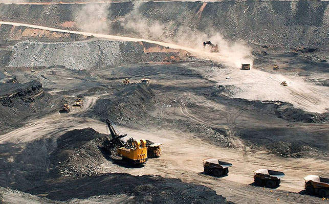
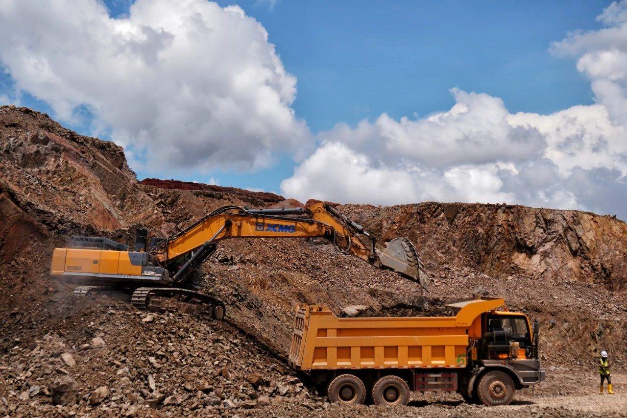
Trimble Mine Insights integrates big data from drones, laser scanners, and geospatial technologies to automatically generate reports and KPIs, accelerating the decision-making process. As a distributor of Trimble and DJI, GEOCOM connects geospatial capture technology with mining reporting tools, providing customers with a complete workflow. The AI algorithms used by the platform are specifically trained on mining problems and integrate prior knowledge of key operational variables, such as automatically identifying parameters like width, slope, safety berm height, turning radius, potholes, spillage, and ruts on mining roads.
Silva emphasized that AI requires validation during implementation. GEOCOM works with clients to compare results and check accuracy, aiming to push precision thresholds beyond 99%. As the platform learns, manual verification will be significantly reduced. In terms of functional modules, Site Analytics focuses on analyzing mining roads, slopes, widths, and safety berms—information critical to productivity and safety. Automated analysis can generate routine reports and support preventive decision-making.
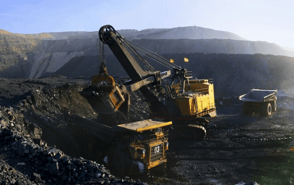
In stockpile management, TMI can use drone survey data input into the system to calculate volumes, classify materials, and generate reports, simplifying planning work. In the geotechnical field, the platform uses dense point clouds to analyze slopes, combining geometric shapes with geological parameters to transform them into risk heat maps or probability maps, helping geotechnical teams concentrate resources on high-risk areas. This tool centralizes high-resolution data from drones, photogrammetry, and laser scanners, converting it into integrated and accessible operational information.
Silva suggested that the cost of lacking such a tool could exceed the initial investment. For example, roads with unsuitable slopes increase truck maintenance costs, while geotechnical risk areas not identified in a timely manner jeopardize operational continuity. Geospatial analysis and artificial intelligence not only enhance efficiency but also help prevent, control, and mitigate risks.