en.Wedoany.com Reported - Metatek Group has commenced the second phase of a large-scale airborne geophysical survey in Nigeria, based on a new three-year contract aimed at providing technical support for the country's oil and gas exploration.
The UK-based geophysical services company will complete an additional 210,000 square kilometers of survey work. Combined with the 175,000 square kilometers already completed in the first phase since 2022, Metatek's cumulative survey area will reach approximately 385,000 square kilometers upon project completion, covering about 42% of Nigeria's total land area.
The project is being jointly advanced by Metatek, Nigerian company Broadlink, and the country's national energy sector. According to Metatek, field operations have already begun, transitioning the contract into the execution phase and triggering corresponding revenue recognition.
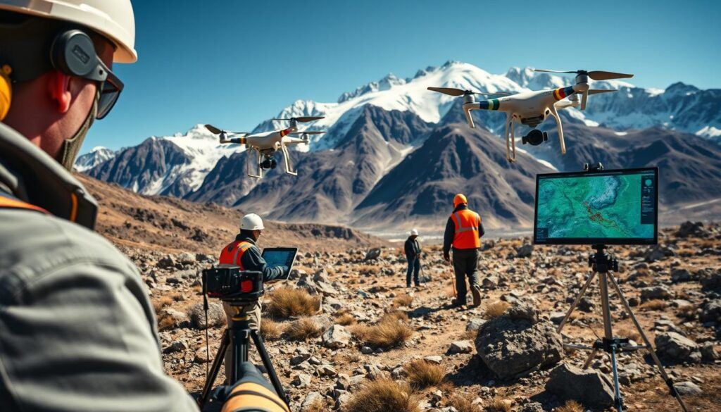
The airborne survey employs enhanced Full Tensor Gravity Gradiometry (eFTG) technology, integrated with scalar gravity, magnetic, and LiDAR data, to obtain high-resolution geological information several kilometers below the surface. The integrated dataset aims to improve geological mapping accuracy, identify exploration prospects, and provide a basis for subsequent resource development.
According to the company, data collected in the first phase has already helped successfully drill an exploration well: first identifying prospective targets through eFTG data, then confirming them with 2D seismic surveys. This process accelerated exploration progress and reduced the need for additional subsequent surveys.
Mark Davies, CEO of Metatek, stated that the project will rapidly provide high-resolution data over large areas, enabling more precise geological mapping and enhancing regional exploration capabilities. He added that the survey data will provide critical information for future resource development and investment decisions.
Although the primary objective is oil and gas exploration, Metatek noted that these high-resolution geophysical data can also be applied to mineral exploration and renewable energy projects. The aircraft conducting the survey fly at altitudes between 100 and 1,000 meters, depending on project requirements, using specialized geophysical instruments to map subsurface feature distributions over large areas.