en.Wedoany.com Reported - Strata Minerals (ASX: SMX) has completed geological mapping and rock chip sampling at the Zelica South project area, with 43 sample assays returning gold grades up to 11.78 g/t and silver grades up to 19.5 g/t, confirming a widespread structurally controlled gold anomaly along a 6km strike within the broader 9.5km prospective gold corridor.
The consistent geological characteristics across the entire corridor support the potential for repeatable gold deposits along the broader Zelica trend. Geological mapping has also improved understanding of structural controls and mineralization distribution, confirming a consistent shear zone hosting trend with multiple sets of parallel vein systems, indicating the presence of stacked parallel veins. Additional anomalous trends identified in the less-explored western project area highlight the potential for parallel mineralized structures beyond the main Zelica South corridor. Multi-element anomalies, with some high-grade gold accompanied by elevated silver, further indicate a fertile hydrothermal system within this structurally controlled orogenic gold environment. Historical mining sites and prospects such as Eucalyptus Bore, Murphy Well, and West Nest have been verified in the field, and sampling between historically identified prospect areas has increased confidence in the continuity of the interpreted Zelica South gold corridor, generating targets directly drill-ready.
Managing Director Peter Woods stated that the mapping and rock chip sample results from Zelica South reinforce the prospectivity and broader scale potential of the emerging Zelica gold system. Woods noted that geological mapping and surface sampling have confirmed widespread structurally controlled gold anomalies along the 9.5km mineralized corridor and generated multiple directly drillable targets. The consistent geological characteristics across the corridor, combined with limited existing historical drilling, highlight significant exploration upside remaining across the project area. Woods also mentioned that the second phase of drilling at Zelica has extended the interpreted mineralized strike southward to Eucalyptus Bore, but the areas between these prospects remain largely untested. With strong results from the Phase 2 program, Woods believes the broader Zelica corridor continues to show strong potential for repeatable gold deposits within the company's tenement area. The company has entered into a tribute mining agreement with BML, and exploring additional resources will support and expand current mining targets.
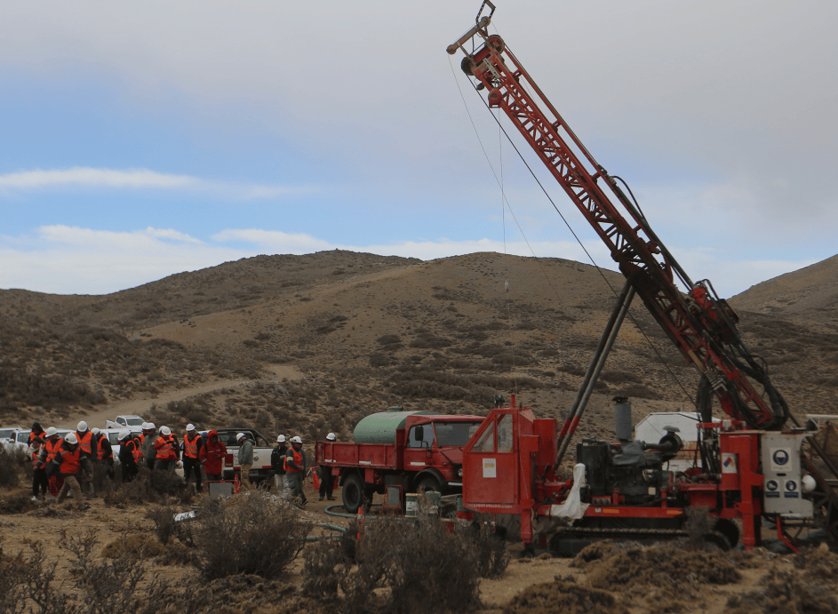
Geological mapping confirms that mineralization in the Zelica South project area is consistently associated with near-surface quartz veins and shear structures hosted within mafic-ultramafic lithologies, as well as contacts with schistose metasedimentary rocks and intermediate volcanic rocks. Rock chip samples were collected from outcrops, shallow pits, and associated waste dumps within the project area. Higher-grade samples came from the Murphy Well and West Nest prospects, which cover approximately 1.5km of strike, where geological mapping identified two to three sets of sub-parallel mineralized vein systems, similar in character to the Zelica system approximately 4.5km to the north. The completed mapping and sampling have validated historical exploration results while significantly improving the understanding of structural controls and mineralization distribution at Zelica South. Geological mapping, combined with observations from limited historical drilling, indicates that structurally controlled mineralization extends along strike parallel to the regional north-south trending Celia Fault system, which hosts several multi-million-ounce gold deposits. The widespread gold anomaly within the Zelica South corridor supports the potential for a regionally extensive mineralized system within the tenement. Exploration along the 6km Zelica South corridor currently relies on only 13 widely spaced shallow historical drill holes, highlighting significant scope for systematic modern exploration.
The company is currently advancing systematic follow-up exploration activities aimed at refining and drill-testing priority targets at Zelica South, including a high-resolution magnetic geophysical survey over the Zelica tenement to map prospective structures and refine drill targets. This will be followed by consideration of air-core drilling along the 6km interpreted gold corridor at Zelica South and the western area of E39/2188, along with a review of all historical exploration datasets within the project area to refine future drill targets.
This article is compiled by Wedoany. All AI citations must indicate the source as "Wedoany". If there is any infringement or other issues, please notify us promptly, and we will modify or delete it accordingly. Email: news@wedoany.com