Fraunhofer Institute's 500-Meter Exploration Well Yields Key Geothermal Data in Germany
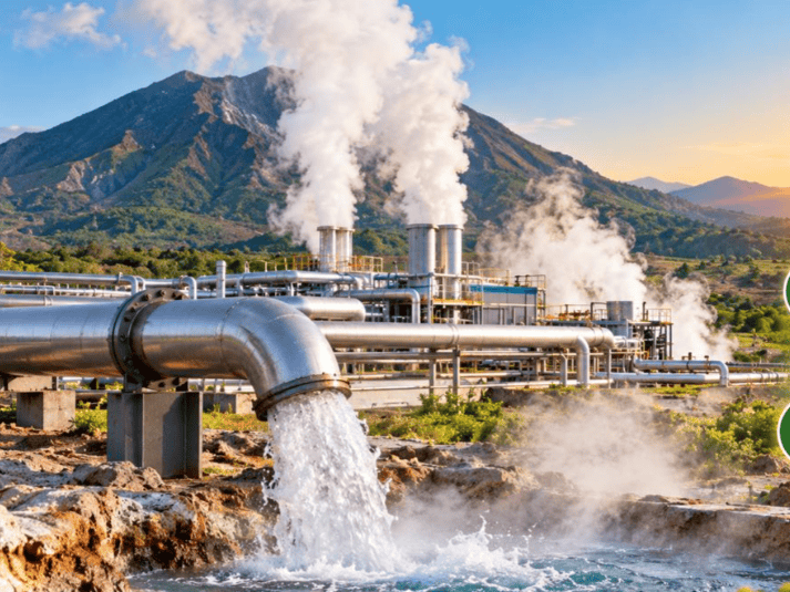
en.Wedoany.com Reported - German researchers have obtained new geological data through exploration drilling in the Rhineland region, providing critical support for the development of geothermal heating systems. The study, led by the Fraunhofer Institution for Energy Infrastructures and Geotechnologies (IEG) in collaboration with RWE Power AG and several academic partners, aims to address the challenge of insufficient information on underground thermal resources in geothermal development.
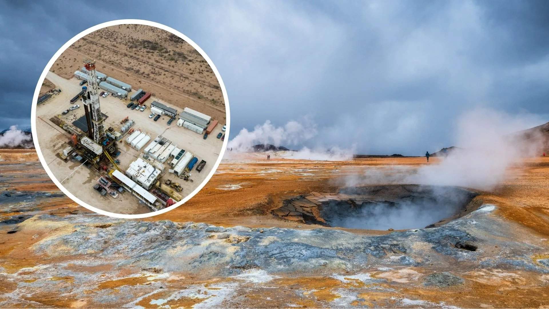
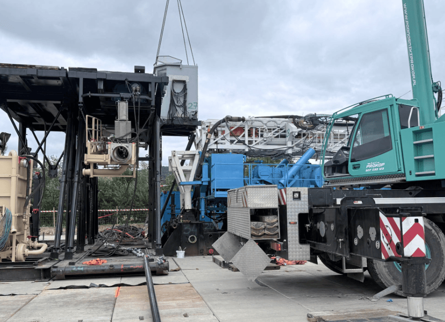
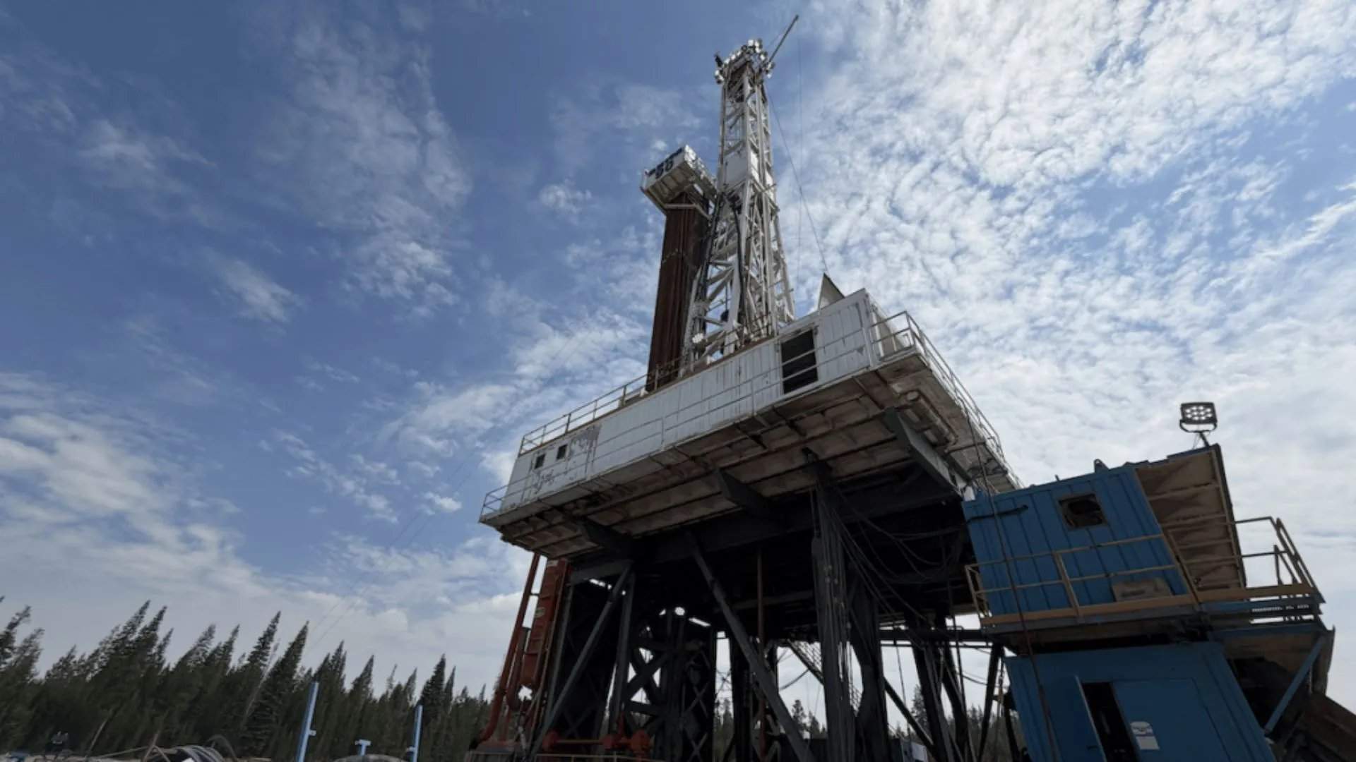
With the planned closure of the Weisweiler coal-fired power plant in 2029 and the end of lignite mining at the nearby Inden open-pit mine, regional authorities and energy suppliers are seeking sustainable alternatives to maintain district heating. Geothermal energy is considered one of the most promising options due to its ability to provide stable, low-carbon heat for residential areas, industrial facilities, and commercial buildings. Researchers analyzed two exploration wells, EB1 and EB2, with depths of approximately 100 meters and 500 meters respectively—the first wells dedicated to geothermal exploration in the region since 2004.
The wells were equipped with advanced fiber optic cables capable of continuously measuring temperature across the entire well depth. Scientists collected rock samples and conducted geophysical measurements to determine the thermal and structural characteristics of subsurface formations. Results show that the upper layers consist of young sediments, with rock layers approximately 300 million years old beginning at a depth of about 70 meters, including alternating layers of sandstone, siltstone, claystone, and coal. The sandstone layers are dense and nearly impermeable, acting as natural barriers; more permeable limestone layers are expected at a depth of around 1,300 meters, favorable for geothermal water circulation.
The research team noted that the newly acquired temperature and thermal conductivity measurement data provide critical information for improving geological computer models of the Lower Rhine region. More accurate models help municipalities, utility companies, and industrial users assess effective development sites for geothermal projects and reduce exploration risks. The project demonstrates the role of modern sensing technologies: fiber optic monitoring provides continuous temperature profiles, while seismic monitoring in one well records natural earthquakes and ground vibrations caused by human activities. Based on these results, the research consortium plans to conduct further investigations using seismic imaging techniques, ultimately drilling deeper wells up to 3,000 meters to confirm geothermal reservoirs capable of supplying heat for large-scale district heating networks. This research is part of the energy transition in Germany's Rhineland region, where former coal infrastructure is being repurposed for renewable energy, and the new data may attract investment in geothermal projects, driving clean heat production.
Related Products

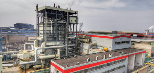
Jiujiang Pinggang 125MW Subcritical Gas Power Generation Project
Capital Engineering & Research Incorporation Limited
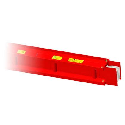
Mineral-insulated Compact Busway (Fire-resistant Busduct)
Zhuhai Guangle Electric Busway Co., Ltd.
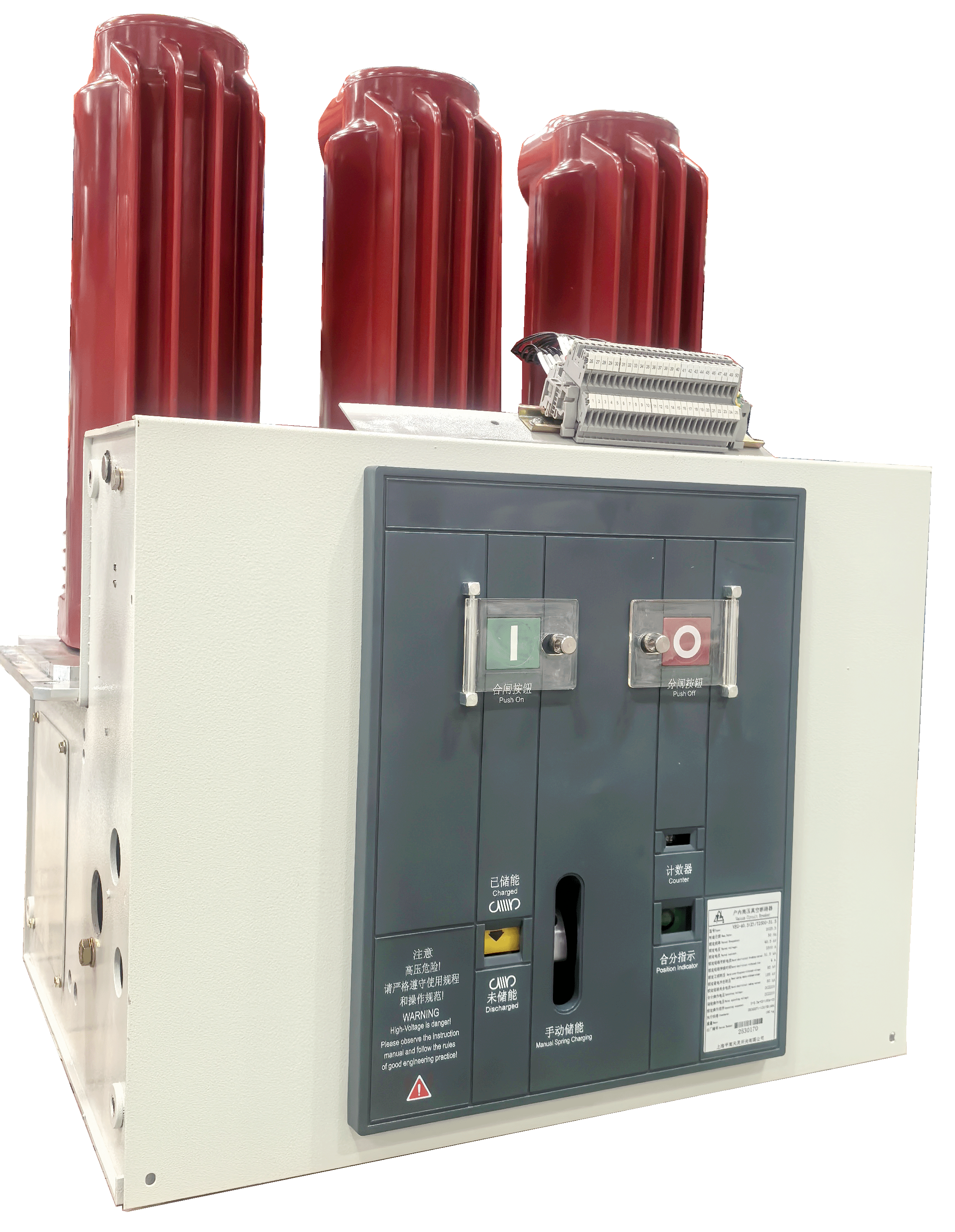
VEG-12/24/40.5 Series Vacuum Circuit Breaker
SHANGHAI PINGGAO TIANLING SWITCHGEAR CO., LTD.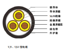
Rated Voltage 6-35kV Cross-linked Polyethylene Insulated Power Cable
TONGDING INTERCONNECTION INFORMATION CO., LTD.
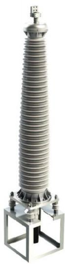
220kV Composite Outdoor Cable Terminal
Shenyang Guolian Cable Accessories Manufacture Co., Ltd.